Browse / Germany / Brandenburg / Friesack
Friesack
Brandenburgtown

Friesack
Total population
2,904
Demographic figures from Destatis. Overview below cites Wikipedia and may reference a different year.
City facts
Sister cities
Facts from Wikidata (CC0).
Overview
Friesack is a town in the Havelland district, in Brandenburg, in north-eastern Germany. It is situated 22 km (14 mi) northeast of Rathenow, and 25 km (16 mi) southwest of Neuruppin. It is known for its Mesolithic archaeological site.
Read more on WikipediaHistory & geography
History
During World War II, in September 1943, the Oflag 8 prisoner-of-war camp was relocated from Frauenberg to Wutzetz, present-day district of Friesack. Polish, Greek, Bulgarian and Romanian officers were held in the camp before its dissolution in April 1945.
Excerpted from the corresponding Wikipedia article (CC BY-SA).
Geography
Coordinates & boundaries from the US Census TIGER/Line shapefiles.
Climate
Air quality
Walkability
Amenities nearby
Wildlife & biodiversity
Earthquake history
Photos
Sights & places nearby
Notable people from here
Nearby places in Brandenburg
Geography & sun
Elevation, sunrise/sunset and daylight from Open-Meteo. Solar climatology from NASA POWER.
Nearby airports
Public attention
Pageview totals from the Wikimedia Pageviews API.
Books about Friesack
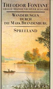


Search results from Open Library.
Recent natural events nearby
Ground air-quality sensors
Recently spotted species
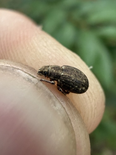
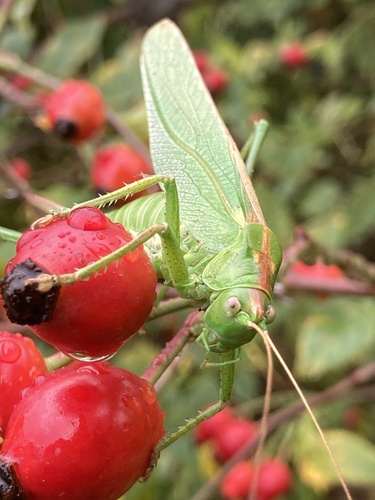
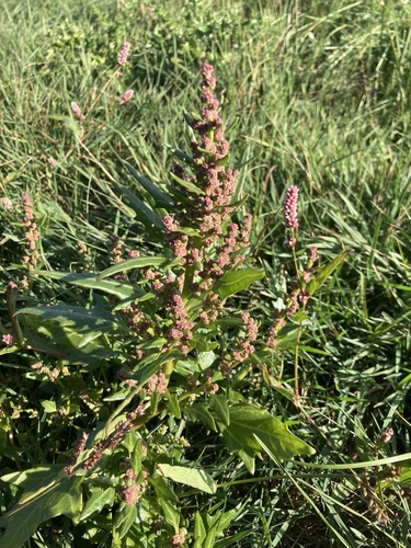
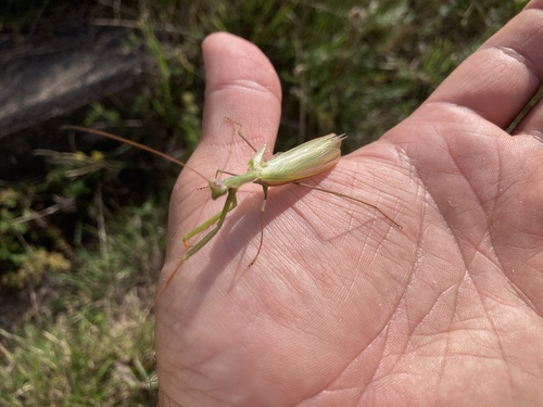
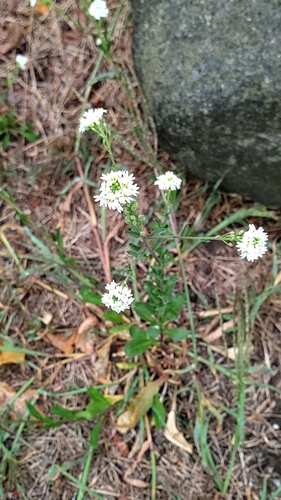
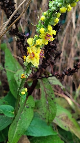
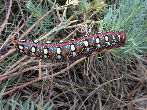
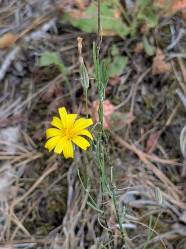
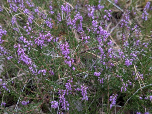
Research-grade observations from iNaturalist (within ~15 mi).
Events
Gallery
Official Identifiers
Destatis — German Federal Statistical Office
- AGS
- 12063088
- Population (Wikidata)
- 2,555
- Wikidata
- Q585632
Amtlicher Gemeindeschlüssel (AGS) via Wikidata P439
Sources
- • Wikipedia
- • Wikidata
- • iNaturalist
- • Open-Meteo / sunrise-sunset.org
- • Wikipedia Pageviews API
- • Open Library
- • Destatis — German Federal Statistical Office — Amtlicher Gemeindeschlüssel (AGS) via Wikidata P439