Browse / Germany / Bayern / Fürth
Fürth
Bayerncity

Fürth
Total population
135,082
Air quality index
Demographic figures from Destatis. Overview below cites Wikipedia and may reference a different year.
City facts
Facts from Wikidata (CC0).
Overview
Fürth is a city in the Middle Franconia administrative region of Bavaria, Germany. It is the third-largest city in the larger Franconia region and is now contiguous with the larger city of Nuremberg, the centres of the two cities being only seven km (4.3 mi) apart.
Read more on WikipediaHistory & geography
History
Founded as a Franconian settlement in the mid-8th century AD, the first historical mention of Fürth was in a document dated 1 November 1007, in which the Emperor Heinrich II donated his property in Fürth to the newly created Bishopric of Bamberg. The name "Fürth" derives from the German word for "ford", as the first settlements originated around a ford. In the following years, Fürth was granted market privileges, but these were later lost to the neighbouring Nuremberg, under Heinrich III. From 1062 onward, Fürth was again permitted to have a market, but by that time Nuremberg was already the more important town. In the following centuries, the town was under varying authority, involving the Bishopric of Bamberg, the Principality of Ansbach and the City of Nuremberg. For a long time, the character of the settlement remained largely agricultural, and in 1600 the population was probably still only between 1000 and 2000. In the Thirty Years War, the village was almost completely destroyed by fire, in military actions leading up to the September 1632 Battle of Fürth. In 1835, the first German railway was opened between Nuremberg and Fürth. Throughout the Cold War, Fürth had a significant NATO presence, especially the U.S. Army, due to its proximity to both the East German and Czechoslovak borders. In the course of time, a number of municipalities or other administrative divisions were integrated into the urban district of Fürth: * 1 January 1899: the western part of the municipality of Höfen, including Weikershof (to the south of the Schwabacher Straße) * 1 January 1900: the municipality of Poppenreuth (to the east of the historic centre of the city, on the far side of the river Pegnitz) * 1 January 1901: the municipality of Dambach (to the west of the current…
Geography
The historic centre of the town is to the east and south of the rivers Rednitz and Pegnitz, which join to form the Regnitz to the northwest of the Old Town. To the west of the town, on the far side of the Main-Danube Canal, is the Fürth municipal forest (Fürther Stadtwald). To the east of Fürth, at roughly the same latitude, lies Nuremberg, and to the north is the fertile market-gardening area known as the Knoblauchsland (garlic country), some of which is within the borders of the urban district of Fürth. To the south of the town is an area consisting of wide roads, the canal, and meadows. The following towns and municipalities share borders with Fürth; they are listed in clockwise order, starting in the north: Erlangen and Nuremberg, which are independent urban districts; Stein, Oberasbach, Zirndorf, Cadolzburg, Seukendorf, Veitsbronn, and Obermichelbach, which are municipalities within the rural district (Landkreis) of Fürth. Beyond the town proper, the urban district comprises another 20 localities: *Atzenhof *Bislohe *Braunsbach *Burgfarrnbach *Dambach *Flexdorf *Herboldshof *Kronach *Mannhof *Oberfürberg *Poppenreuth *Ritzmannshof *Ronhof *Sack *Stadeln *Steinach *Unterfarrnbach *Unterfürberg *Vach *Weikershof
Excerpted from the corresponding Wikipedia article (CC BY-SA).
Geography
Coordinates & boundaries from the US Census TIGER/Line shapefiles.
Climate
10-year averages from ERA5 reanalysis (Open-Meteo).
Air quality
Current readings from Open-Meteo Air Quality API (Copernicus CAMS European reanalysis).
Walkability
Amenities nearby
Wildlife & biodiversity
Most-observed species
- Great TitParus major Linnaeus, 1758 · Aves3,589
- Eurasian BlackbirdTurdus merula Linnaeus, 1758 · Aves3,563
- Eurasian Blue TitCyanistes caeruleus (Linnaeus, 1758) · Aves3,152
- House SparrowPasser domesticus (Linnaeus, 1758) · Aves3,123
- Carrion CrowCorvus corone Linnaeus, 1758 · Aves2,825
- European RobinErithacus rubecula (Linnaeus, 1758) · Aves2,314
- Eurasian MagpiePica pica (Linnaeus, 1758) · Aves2,306
- Common Wood-PigeonColumba palumbus Linnaeus, 1758 · Aves2,205
Citizen-science & research observations from the Global Biodiversity Information Facility (GBIF).
Earthquake history
Most recent
- M 2.5 — 2002-08-225 km SSE of Rain, Germany
Events from the USGS Earthquake Catalog (global) (FDSN Event Web Service).
Photos
Sights & places nearby
Notable people from here


People born within ~10 km, from Wikidata (CC0). Click any name for their Wikipedia article.
Nearby places in Bayern
Geography & sun
Elevation, sunrise/sunset and daylight from Open-Meteo. Solar climatology from NASA POWER.
Nearby airports
Public attention
Pageview totals from the Wikimedia Pageviews API.
Books about Fürth
Search results from Open Library.
Recent natural events nearby
Ground air-quality sensors
Recently spotted species
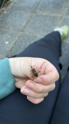
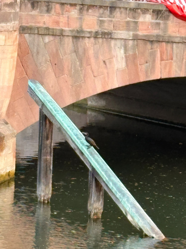
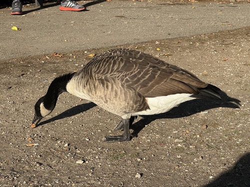
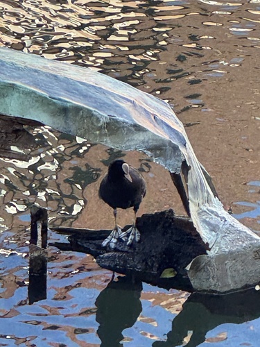
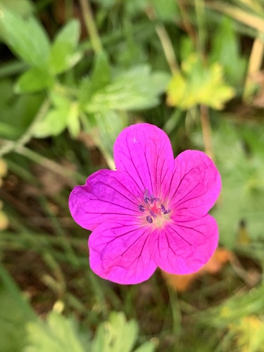
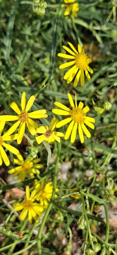
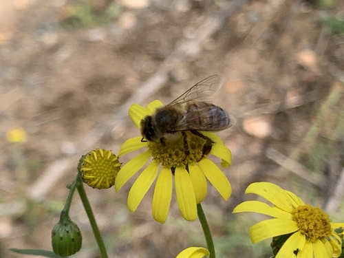
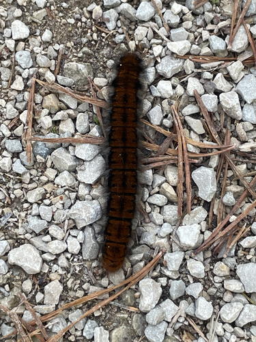
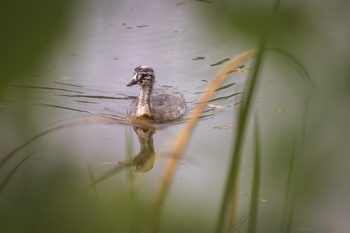
Research-grade observations from iNaturalist (within ~15 mi).
Events
Notable, recurring, and historical events associated with Fürth, sourced from Wikidata.
- Apr 17, 2026
- Traditional Funfair of Fuerthannual event
Festival on the occasion of the anniversary of the consecration of St. Michael's Church in the 12th century
- Long Night of the Sciencesplanned event
Source: Wikidata (CC0).
Gallery
Official Identifiers
Destatis — German Federal Statistical Office
- AGS
- 09274132
- Population (Wikidata)
- 3,647
- Wikidata
- Q537414
Amtlicher Gemeindeschlüssel (AGS) via Wikidata P439
Sources
- • Wikipedia
- • Open-Meteo (ERA5 reanalysis)
- • Wikidata
- • Open-Meteo Air Quality (CAMS)
- • USGS Earthquake Catalog (global feed)
- • GBIF (Global Biodiversity Information Facility)
- • iNaturalist
- • Open-Meteo / sunrise-sunset.org
- • Wikipedia Pageviews API
- • Open Library
- • Wikidata SPARQL (CC0) — population, area, elevation, inception, head of government, Commons image
- • Destatis — German federal statistics, Amtlicher Gemeindeschlüssel (AGS) via Wikidata P439 (state prefix, municipality key)