Browse / Germany / Bayern / Grafenau
Grafenau
Bayerntown

Grafenau
Total population
8,498
Air quality index
Demographic figures from Destatis. Overview below cites Wikipedia and may reference a different year.
City facts
Overview
Grafenau is a town in the Freyung-Grafenau district, in Bavaria, Germany. 32 km north of Passau, the town is situated in the Bavarian Forest and is the base of the Bavarian Forest National Park Authority. Grafenau is a holiday destination with a variety of kinds of accommodation from self-catering apartments to a "holiday village".
Read more on WikipediaHistory & geography
Geography
Coordinates & boundaries from the US Census TIGER/Line shapefiles.
Climate
Air quality
Current readings from Open-Meteo Air Quality API (Copernicus CAMS European reanalysis).
Walkability
Amenities nearby
Wildlife & biodiversity
Earthquake history
Most recent
- M 3.8 — 2008-08-126 km SE of Maria Schmolln, Austria
- M 2.8 — 2008-08-062 km SE of Schalchen, Austria
- M 2.5 — 2007-01-134 km SSW of Krásná Hora nad Vltavou, Czechia
- M 3.8 — 2005-10-061 km S of Ranshofen, Austria
- M 2.5 — 2002-03-102 km NNE of Waldmünchen, Germany
Events from the USGS Earthquake Catalog (global) (FDSN Event Web Service).
Photos
Sights & places nearby
Notable people from here
Geography & sun
Nearby airports
Public attention
Books about this place
Recent natural events nearby
Ground air-quality sensors
Recently spotted species
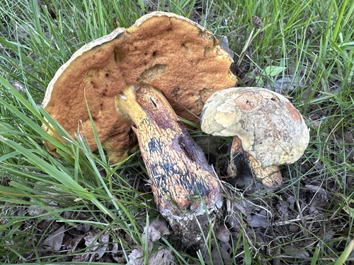
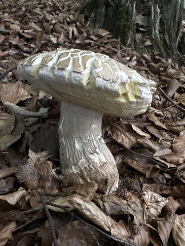
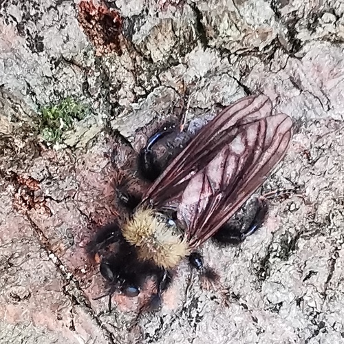
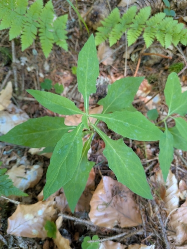
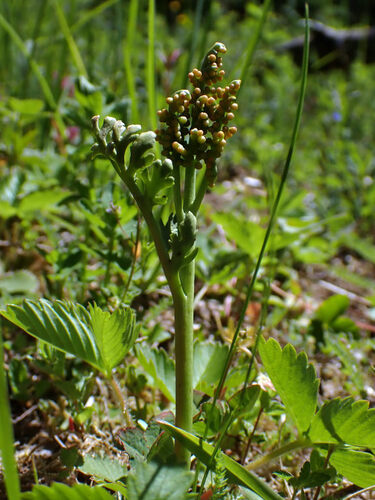
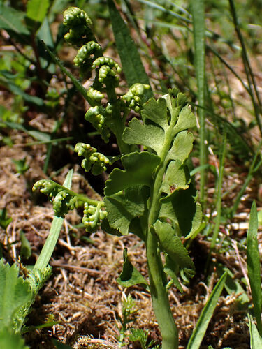
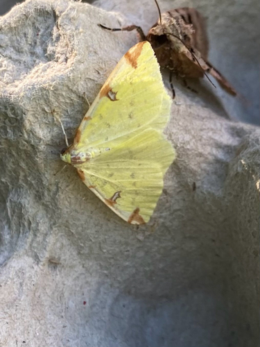
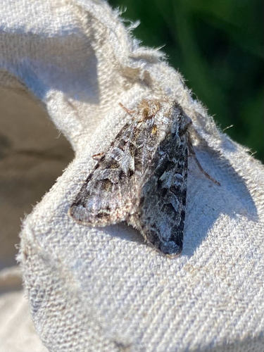

Research-grade observations from iNaturalist (within ~15 mi).
Events
Gallery
Official Identifiers
Destatis — German Federal Statistical Office
- AGS
- 09272120
- Population (Wikidata)
- 8,229
- Wikidata
- Q507945
Amtlicher Gemeindeschlüssel (AGS) via Wikidata P439
Sources
- • Wikipedia
- • Open-Meteo Air Quality (CAMS)
- • USGS Earthquake Catalog (global feed)
- • iNaturalist
- • Destatis — German federal statistics, Amtlicher Gemeindeschlüssel (AGS) via Wikidata P439 (state prefix, municipality key)