Browse / Germany / Baden-Württemberg / Großbottwar
Großbottwar
Baden-Württembergtown

Großbottwar
Total population
8,600
Demographic figures from Destatis. Overview below cites Wikipedia and may reference a different year.
City facts
Sister cities
Facts from Wikidata (CC0).
Overview
Großbottwar is a town in the Ludwigsburg district of Baden-Württemberg, Germany. It sits within the Neckar River basin and is located on a tourist route through the Württemberg wine region. The Großbottwar region has been inhabited since at least the Stone Age and was occupied by the Romans. The town itself was founded sometime during the mid-13th century by an alliance of prominent families. In 1971, Großbottwar incorporated the formerly independent communities of Hof und Lembach and Winzerhausen.
Read more on WikipediaHistory & geography
History
Findings from all of the cultural eras support the view that the Großbottwar area has been inhabited continuously since the Stone Age. The remains of three farms, dated 150–260 CE, of the late Roman period, have been discovered. Around 200 CE, Großbottwar was also the site of a brick factory, referred to as Gaius Longinius Speratus. Bricks formed at this site were stamped with GLSP and examples have been found in Weinsberg and Walheim. The land, documented as "Boteburon", was included in a grant extending the domain of the Fulda monastery in 779. The interpretation of the name Boteburon is unclear. The former village was situated around the church of St Martin and, when first mentioned, was part of the Duchy of Franconia. The town of Großbottwar was probably founded in the mid-13th century, very near the former village, and first described as a city in 1279. An alliance of three noble families of the area founded the town, the Swabian family , the Swabian and Austrian family Hoheneck, and the owners of the nearby Lichtenberg Castle, bearing its name. In 1357 the von Lichtenbergs sold the castle, and the related rule, including the town, to Eberhard II, Count of Württemberg. A school of Latin was established in the town sometime around 1490 and continued teaching until 1925. In April 1525, Großbottwar became involved in insurgency in the German Peasants' War, when two hundred citizens of the town moved to the Wunnenstein mountain and elected Matern Feuerbacher as their leader in the peasants' revolt. The cluster of peasants joining the rebellion increased rapidly as the group marched, increasing Feuerbacher's responsibility, but the resulting battle at Böblingen on 12 May was a critical loss for the peasants, and one of the bloodiest of the whole uprising.…
Geography
Großbottwar is part of the Swabian-Franconian Forest and the Neckar Basin. The city is located in the Bottwar river valley in the north east district of Ludwigsburg. The Bottwar is a tributary of the Neckar River. Thirteen kilometres to the south east is the city of Ludwigsburg, and Heilbronn is sixteen km to the north east. The capital of the Baden-Württemberg region, Stuttgart, is 26 km to the south west. Nearby is Wunnenstein mountain, the highest point of the Großbottwar area, at 394 metres above sea level.
Excerpted from the corresponding Wikipedia article (CC BY-SA).
Geography
Coordinates & boundaries from the US Census TIGER/Line shapefiles.
Climate
Air quality
Walkability
Amenities nearby
Wildlife & biodiversity
Most-observed species
- Great TitParus major Linnaeus, 1758 · Aves7,630
- Carrion CrowCorvus corone Linnaeus, 1758 · Aves6,986
- Eurasian BlackbirdTurdus merula Linnaeus, 1758 · Aves6,591
- Eurasian Blue TitCyanistes caeruleus (Linnaeus, 1758) · Aves6,275
- Common BuzzardButeo buteo (Linnaeus, 1758) · Aves5,592
- Common Wood-PigeonColumba palumbus Linnaeus, 1758 · Aves5,104
- Common ChaffinchFringilla coelebs Linnaeus, 1758 · Aves5,102
- Eurasian MagpiePica pica (Linnaeus, 1758) · Aves4,798
Citizen-science & research observations from the Global Biodiversity Information Facility (GBIF).
Earthquake history
Most recent
- M 3.4 — 2022-10-16Baden-Wurttemberg, Germany
- M 4 — 2022-07-092 km NNE of Grosselfingen, Germany
- M 2.5 — 2008-12-122 km ESE of Nehren, Germany
- M 2.8 — 2008-11-251 km S of Steinmauern, Germany
- M 2.7 — 2008-07-091 km WSW of Dußlingen, Germany
- M 2.5 — 2008-07-032 km W of Dußlingen, Germany
Events from the USGS Earthquake Catalog (global) (FDSN Event Web Service).
Photos
Sights & places nearby
Notable people from here


People born within ~10 km, from Wikidata (CC0). Click any name for their Wikipedia article.
Nearby places in Baden-Württemberg
- Kleinbottwar1.5 mi away
- Gronau3.1 mi away
- Kleinaspach3.2 mi away
- Großaspach5.4 mi away
- Strümpfelbach6.8 mi away · pop. 925
- Erbstetten6.8 mi away
- Löwenstein7.6 mi away · pop. 3,083
- Bittenfeld7.8 mi away · pop. 5,000
- Weiler zum Stein7.8 mi away
- Hochberg7.9 mi away · pop. 3,635
- Maubach8 mi away
- Nellmersbach8.6 mi away
Geography & sun
Nearby airports
Public attention
Books about this place
Recent natural events nearby
Ground air-quality sensors
Recently spotted species
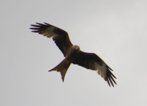
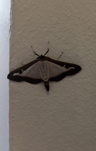
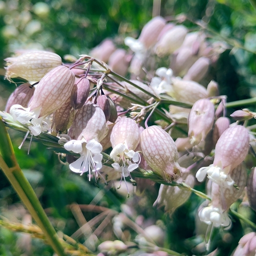
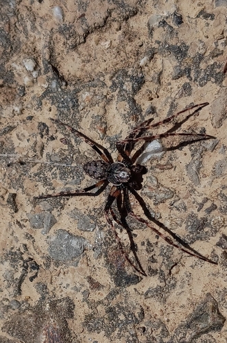
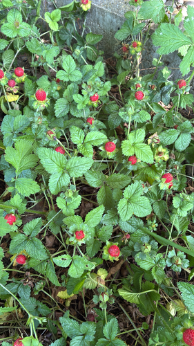
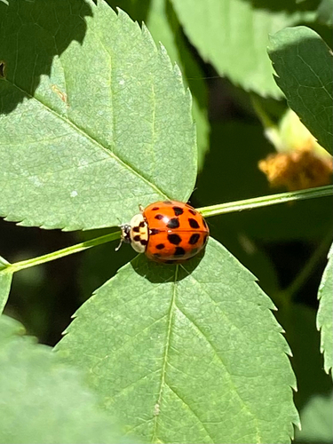
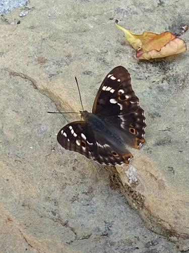
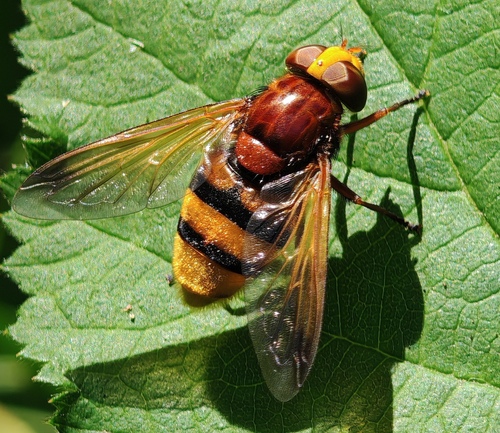
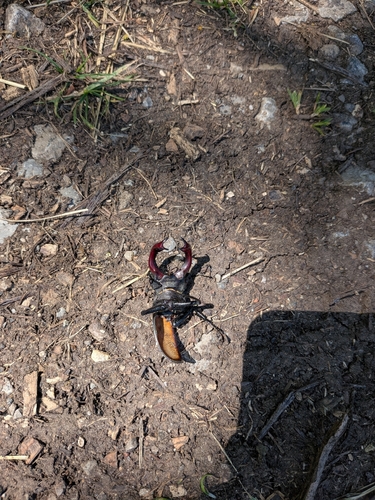
Research-grade observations from iNaturalist (within ~15 mi).
Events
Gallery
Geotagged photos within ~6 miles of Großbottwar, from Wikimedia Commons contributors.
 0 mi
0 mi 0 mi
0 mi 0 mi
0 mi 0 mi
0 mi 0 mi
0 mi 0 mi
0 mi 0 mi
0 mi 0.1 mi
 0.1 mi
 0.1 mi
 0.1 mi
 0.1 mi
.png) 0.1 mi
0.1 mi.png) 0.2 mi
0.2 mi.png) 0.2 mi
0.2 mi 0.3 mi
 0.3 mi
 0.3 mi
 0.3 mi
 0.3 mi
 0.3 mi
 0.4 mi
 0.4 mi
 0.4 mi
Photos via Wikimedia Commons — see each image page for license & attribution.
Official Identifiers
Destatis — German Federal Statistical Office
- AGS
- 08118021
- Population (Wikidata)
- 8,591
- Wikidata
- Q61830
Amtlicher Gemeindeschlüssel (AGS) via Wikidata P439
Sources
- • Wikipedia
- • Wikimedia Commons
- • Wikidata
- • USGS Earthquake Catalog (global feed)
- • GBIF (Global Biodiversity Information Facility)
- • iNaturalist
- • Wikidata SPARQL (CC0) — population, area, elevation, inception, head of government, Commons image
- • Destatis — German Federal Statistical Office — Amtlicher Gemeindeschlüssel (AGS) via Wikidata P439