Browse / Germany / Baden-Württemberg / Heidelberg
Heidelberg
Baden-Württembergcity

Heidelberg
Total population
152,113
Air quality index
Demographic figures from Destatis. Overview below cites Wikipedia and may reference a different year.
City facts
Sister cities
Facts from Wikidata (CC0).
Overview
Heidelberg is the fifth-largest city in the German state of Baden-Württemberg, and with a population of about 163,000, of which roughly a quarter consists of students, it is Germany's 51st-largest city. Located about 78 km (48 mi) south of Frankfurt, Heidelberg is part of the densely populated Rhine-Neckar Metropolitan Region which has its centre in Mannheim.
Read more on WikipediaHistory & geography
History
Between 600,000 and 200,000 years ago, "Heidelberg Man" died at nearby Mauer. His jaw bone was discovered in 1907. Scientific dating determined his remains as the earliest evidence of human life in Europe. In the 5th century BC, a Celtic fortress of refuge and place of worship were built on the , or "Holy Mountain". Both places can still be identified. In 40 AD, a fort was built and occupied by the 24th Roman cohort and the 2nd Cyrenaican cohort (CCG XXIIII and CCH II CYR). The late Roman Emperor Valentinian I, in 369 AD, built new and maintained older castra (permanent camps) and a signal tower on the bank of the Neckar. They built a wooden bridge based on stone pillars across it. The camp protected the first civilian settlements and was eventually captured by Germanic tribes. The local administrative centre in Roman times was the nearby city of Lopodunum, today known as Ladenburg. Modern Heidelberg can trace its beginnings to the fifth century. The village is first mentioned for that period in documents dated to 769 AD. now lies in the middle of modern Heidelberg. The people gradually converted to Christianity. In 870 AD, the monastery of St. Michael was founded on the Heiligenberg inside the double rampart of the Celtic fortress. Around 1130, the Neuburg Monastery was founded in the Neckar valley. At the same time, the bishopric of Worms extended its influence into the valley, founding Schönau Abbey in 1142. Modern Heidelberg can trace its roots to this 12th-century monastery. The first reference to Heidelberg can be found in a document in Schönau Abbey dated to 1196. This is considered to be the town's founding date. In 1156, Heidelberg castle and its neighboring settlement were taken over by the house of Hohenstaufen. Conrad of Hohenstaufen became Count…
Geography
Heidelberg is located on the eastern edge of the Upper Rhine Plain (), at the place where the river Neckar leaves its narrow valley through the Odenwald mountains and begins the last leg of its journey across the plain towards Mannheim, where it merges into the Rhine about 20 kilometers downstream. A part of Heidelberg, including the historical old town and the famous Heidelberg Castle, is located in the narrow Neckar valley. Other parts (mostly quarters from around the 19th century or newer, or originally independent, later incorporated villages) sprawl out into the Rhine Plain and along the Bergstraße (), the narrow strip of characteristic landscape along the sharp border between the plain and the Odenwald mountains. The town is bordered by the Königstuhl (568 m), the Gaisberg (375 m), and the Heiligenberg (445 m) mountains. Heidelberg is on European walking route E1 (Sweden-Umbria). Heidelberg is among the warmest regions of Germany, and plants atypical of the central-European climate flourish there, including almond and fig trees, and many kinds of palm trees and olive trees. Alongside the on the opposite side of the Old Town, winegrowing was restarted in 2000. There is a wild population of African rose-ringed parakeets, and a wild population of Siberian swan geese, which can be seen mainly on the islands in the Neckar near the district of Bergheim. Heidelberg is a unitary authority within the Regierungsbezirk Karlsruhe. The Rhein-Neckar-Kreis rural district surrounds it and has its seat in the town, although the town is not a part of the district. Heidelberg is a part of the Rhine-Neckar Metropolitan Region, often referred to as the Rhein-Neckar Triangle. This region consists of the southern part of the State of Hessen, the southern part of the State of…
Excerpted from the corresponding Wikipedia article (CC BY-SA).
Geography
Coordinates & boundaries from the US Census TIGER/Line shapefiles.
Climate
10-year averages from ERA5 reanalysis (Open-Meteo).
Air quality
Current readings from Open-Meteo Air Quality API (Copernicus CAMS European reanalysis).
Walkability
Amenities nearby
Wildlife & biodiversity
Most-observed species
- Eurasian BlackbirdTurdus merula Linnaeus, 1758 · Aves9,054
- Carrion CrowCorvus corone Linnaeus, 1758 · Aves8,458
- Great TitParus major Linnaeus, 1758 · Aves8,317
- Common Wood-PigeonColumba palumbus Linnaeus, 1758 · Aves8,109
- Eurasian Blue TitCyanistes caeruleus (Linnaeus, 1758) · Aves6,632
- Zoropsid spiderZoropsis spinimana (Dufour, 1820) · Arachnida5,522
- European RobinErithacus rubecula (Linnaeus, 1758) · Aves5,272
- House SparrowPasser domesticus (Linnaeus, 1758) · Aves5,115
Citizen-science & research observations from the Global Biodiversity Information Facility (GBIF).
Earthquake history
Most recent
- M 3.6 — 2014-05-172 km ESE of Pfungstadt, Germany
- M 3.4 — 2010-12-234 km WNW of Mainz, Germany
- M 3.4 — 2010-06-293 km NW of Hochheim am Main, Germany
- M 2.8 — 2008-11-251 km S of Steinmauern, Germany
- M 2.5 — 2008-03-071 km N of Simmersfeld, Germany
- M 3.2 — 2008-02-160 km ESE of Rheinau, Germany
Events from the USGS Earthquake Catalog (global) (FDSN Event Web Service).
Photos
Sights & places nearby
Notable people from here


People born within ~10 km, from Wikidata (CC0). Click any name for their Wikipedia article.
Nearby places in Baden-Württemberg
- Schönau5.5 mi away · pop. 4,449
- Walldorf7.7 mi away · pop. 14,663
- Rotenberg10.5 mi away
- Daisbach11.4 mi away
- Altlußheim11.6 mi away · pop. 5,338
- Waghäusel13.7 mi away · pop. 1,200
- Aglasterhausen13.7 mi away · pop. 4,962
- Rohrbach14.4 mi away
- Weiler16 mi away
- Bargen16.4 mi away
- Reihen16.6 mi away
- Hasselbach16.8 mi away · pop. 309
Geography & sun
Elevation, sunrise/sunset and daylight from Open-Meteo. Solar climatology from NASA POWER.
Nearby airports
Public attention
Pageview totals from the Wikimedia Pageviews API.
Books about Heidelberg

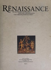
Search results from Open Library.
Recent natural events nearby
Ground air-quality sensors
Recently spotted species
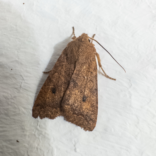

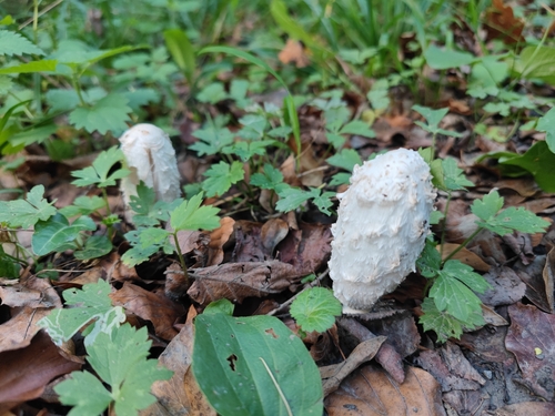

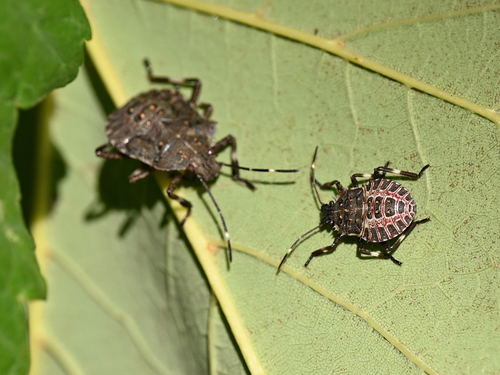
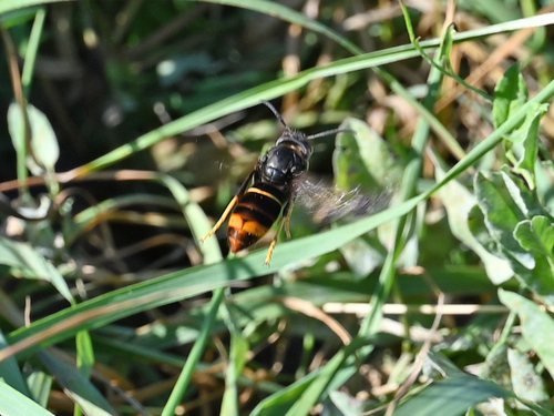
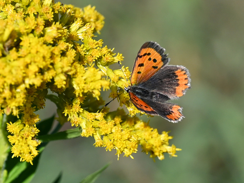
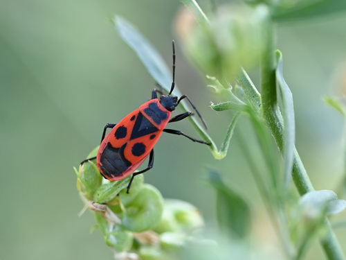
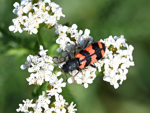
Research-grade observations from iNaturalist (within ~15 mi).
Events
Notable, recurring, and historical events associated with Heidelberg, sourced from Wikidata.
- Aug 20, 1970
- Q123352446planned event
- 1904 International Congress of MathematiciansAug 8, 1904planned event
3rd International Congress of Mathematicians
Source: Wikidata (CC0).
Gallery
Geotagged photos within ~6 miles of Heidelberg, from Wikimedia Commons contributors.


.jpg)


.jpg)

.jpg)
.jpg)
.jpg)
.jpg)
.jpg)
.jpg)

.jpg)

Photos via Wikimedia Commons — see each image page for license & attribution.
Official Identifiers
Destatis — German Federal Statistical Office
- AGS
- 08221000
- Population (Wikidata)
- 162,960
- Wikidata
- Q2966
Amtlicher Gemeindeschlüssel (AGS) via Wikidata P439
Sources
- • Wikipedia
- • Open-Meteo (ERA5 reanalysis)
- • Wikimedia Commons
- • Wikidata
- • Open-Meteo Air Quality (CAMS)
- • USGS Earthquake Catalog (global feed)
- • GBIF (Global Biodiversity Information Facility)
- • iNaturalist
- • Open-Meteo / sunrise-sunset.org
- • Wikipedia Pageviews API
- • Open Library
- • Wikidata SPARQL (CC0) — population, area, elevation, inception, head of government, Commons image
- • Destatis — German Federal Statistical Office — Amtlicher Gemeindeschlüssel (AGS) via Wikidata P439