Browse / Germany / Baden-Württemberg / Heilbronn
Heilbronn
Baden-Württembergcity

Heilbronn
Total population
131,653
Air quality index
Demographic figures from Destatis. Overview below cites Wikipedia and may reference a different year.
City facts
Facts from Wikidata (CC0).
Overview
Heilbronn is a city in northern Baden-Württemberg, Germany.
Read more on WikipediaHistory & geography
History
The oldest traces of humans in and around Heilbronn date back to the Old Stone Age (30,000 BC). The fertile Neckar floodplains in the Heilbronn basin aided early settlement by farmers and ranchers. The city limits of present-day Heilbronn contain many sites of Bronze Age finds. Later on, but still before AD, the Celts already mined here for salt from brine. Under Roman Emperor Domitian (AD 81–96) the Romans pushed east away from the Rhine and the outer boundary of the Roman Empire was set at the Neckar-Odenwald Limes. A castle in today's borough of Böckingen was part of that limes, and nearby numerous Roman villas and plantations were built. Around AD 150, the Neckar-Odenwald Limes became obsolete when the boundary of the Roman Empire was moved approximately to the east, where it was subsequently fortified with the construction of the Upper Germanic Limes complete with parapet and trenches. Around 260, the Romans surrendered the limes, and the Alamanni became rulers of the Neckar basin. Between the 4th and 7th centuries, the area became part of the Frankish Empire, and the first settlement was built in the general vicinity of the present center of town. In 741, Heilbronn is first mentioned in an official document of the Diocese of Würzburg as villa Helibrunna (together with a Michaelsbasilica), and in 841, King Louis the German set up court here for a period of time. The name Heilbrunna (healing well) hints to a well that is located not far from the basilica. In 1050, a significant settlement of Jews is noted in official documents, and the Codex of the monastery in Hirsau documented Heilbronn's right to hold market days and mint coins, mentioning its harbor and vineyards as well. The name of the city became a widespread Jewish surname in many varieties, see…
Geography
Heilbronn is located in the northern corner of the Neckar basin at the bottom of the Wartberg (308 m). It occupies both banks of the Neckar, and the highest spot inside city limits is the Schweinsberg with a height of 372 meters. Heilbronn is adjacent to the Swabian-Franconian Forest Nature Park and is surrounded by vineyards. Heilbronn and its surroundings are located in the northern part of the larger Stuttgart metropolitan area. The city is the economic center of the Heilbronn-Franken region and is one of fourteen such cities in the Baden-Württemberg master plan of 2002. It also serves Abstatt, Bad Rappenau, Bad Wimpfen, Beilstein, Brackenheim, Cleebronn, Eberstatt, Ellhofen, Eppingen, Flein, Gemmingen, Güglingen, Ilsfeld, Ittlingen, Kirchardt, Lauffen am Neckar, Lehrensteinsfeld, Leingarten, Löwenstein, Massenbachhausen, Neckarwestheim, Nordheim, Obersulm, Pfaffenhofen, Schwaigern, Siegelsbach, Talheim, Untergruppenbach, Weinsberg, Wüstenrot, and Zaberfeld as a regional economic centre. Heilbronn shares a border with the following cities and towns, all part of Heilbronn County and listed here clockwise from the North: Bad Wimpfen, Neckarsulm, Erlenbach, Weinsberg, Lehrensteinsfeld, Untergruppenbach, Flein, Talheim, Lauffen am Neckar, Nordheim, Leingarten, Schwaigern, Massenbachhausen and Bad Rappenau. The city is divided into nine boroughs: * 001: Heilbronn itself * 002: Böckingen * 003: Neckargartach * 004: Sontheim * 005: Klingenberg * 006: Frankenbach * 007: Kirchhausen * 008: Biberach * 009: Horkheim
Excerpted from the corresponding Wikipedia article (CC BY-SA).
Geography
Coordinates & boundaries from the US Census TIGER/Line shapefiles.
Climate
10-year averages from ERA5 reanalysis (Open-Meteo).
Air quality
Current readings from Open-Meteo Air Quality API (Copernicus CAMS European reanalysis).
Walkability
Amenities nearby
Wildlife & biodiversity
Most-observed species
- Great TitParus major Linnaeus, 1758 · Aves1,713
- Zoropsid spiderZoropsis spinimana (Dufour, 1820) · Arachnida1,657
- Eurasian BlackbirdTurdus merula Linnaeus, 1758 · Aves1,617
- Common BuzzardButeo buteo (Linnaeus, 1758) · Aves1,541
- Carrion CrowCorvus corone Linnaeus, 1758 · Aves1,451
- Eurasian Blue TitCyanistes caeruleus (Linnaeus, 1758) · Aves1,366
- Eurasian KestrelFalco tinnunculus Linnaeus, 1758 · Aves1,161
- Eurasian MagpiePica pica (Linnaeus, 1758) · Aves1,154
Citizen-science & research observations from the Global Biodiversity Information Facility (GBIF).
Earthquake history
Most recent
- M 3.4 — 2022-10-16Baden-Wurttemberg, Germany
- M 4 — 2022-07-092 km NNE of Grosselfingen, Germany
- M 3.6 — 2014-05-172 km ESE of Pfungstadt, Germany
- M 2.5 — 2008-12-122 km ESE of Nehren, Germany
- M 2.8 — 2008-11-251 km S of Steinmauern, Germany
- M 2.7 — 2008-07-091 km WSW of Dußlingen, Germany
Events from the USGS Earthquake Catalog (global) (FDSN Event Web Service).
Photos
Sights & places nearby
Notable people from here


People born within ~10 km, from Wikidata (CC0). Click any name for their Wikipedia article.
Nearby places in Baden-Württemberg
- Dimbach7.7 mi away · pop. 880
- Löwenstein8 mi away · pop. 3,083
- Gronau9.3 mi away
- Mundelsheim9.9 mi away · pop. 3,188
- Kleinbottwar11.6 mi away
- Kleinaspach12.3 mi away
- Ehrstädt12.8 mi away · pop. 640
- Neckarzimmern12.8 mi away · pop. 1,586
- Ohrnberg13.1 mi away · pop. 636
- Wollenberg13.2 mi away
- Hasselbach13.2 mi away · pop. 309
- Rielingshausen13.4 mi away
Geography & sun
Elevation, sunrise/sunset and daylight from Open-Meteo. Solar climatology from NASA POWER.
Nearby airports
Public attention
Pageview totals from the Wikimedia Pageviews API.
Books about Heilbronn


Search results from Open Library.
Recent natural events nearby
Ground air-quality sensors
Recently spotted species
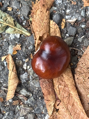
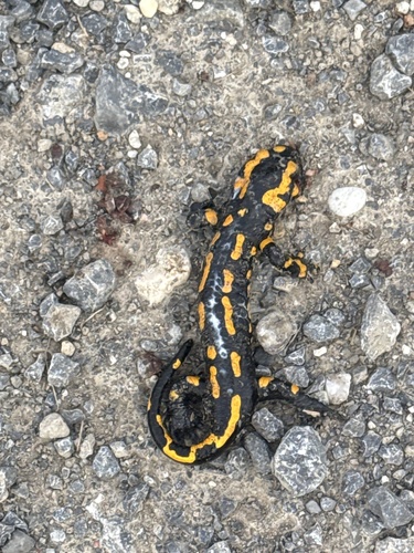
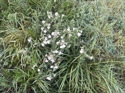
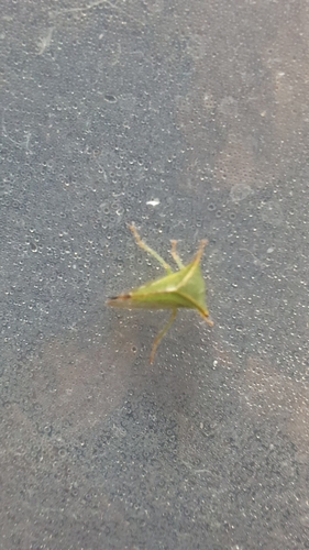
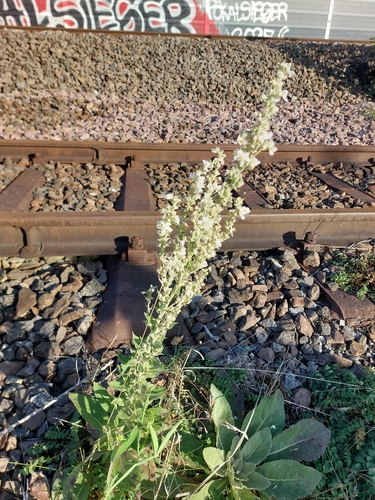
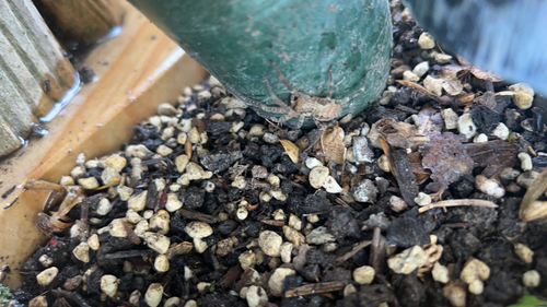
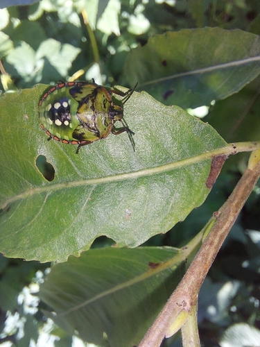
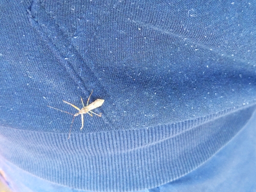
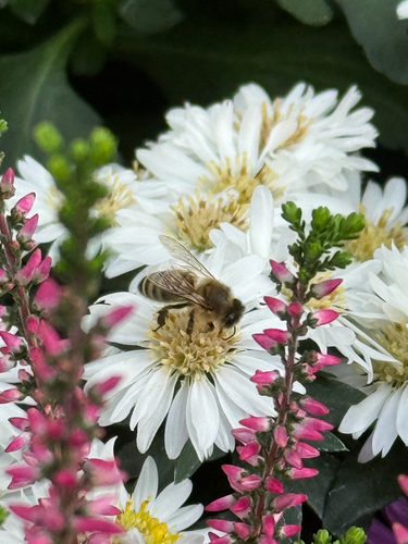
Research-grade observations from iNaturalist (within ~15 mi).
Events
Notable, recurring, and historical events associated with Heilbronn, sourced from Wikidata.
- Q136259574Aug 6, 2023sporting event
- Q135989491Aug 5, 2023sporting event
- Q133092322Oct 5, 1981recurring event edition
Source: Wikidata (CC0).
Gallery
Geotagged photos within ~6 miles of Heilbronn, from Wikimedia Commons contributors.
 0 mi
0 mi 0 mi
0 mi 0 mi
0 mi 0 mi
0 mi 0 mi
0 mi 0 mi
0 mi 0 mi
0 mi 0 mi
0 mi 0 mi
0 mi 0 mi
0 mi 0 mi
0 mi.jpg) 0 mi
0 mi 0 mi
0 mi 0 mi
0 mi 0 mi
0 mi 0 mi
0 mi 0 mi
0 mi 0 mi
0 mi_%E2%80%94_2025-05-25_Mattes.jpg) 0 mi
0 mi.jpg) 0.1 mi
0.1 mi.jpg) 0.1 mi
0.1 mi.jpg) 0.1 mi
0.1 mi.jpg) 0.1 mi
0.1 mi.jpg) 0.1 mi
0.1 miPhotos via Wikimedia Commons — see each image page for license & attribution.
Official Identifiers
Destatis — German Federal Statistical Office
- AGS
- 08121000
- Population (Wikidata)
- 130,093
- Wikidata
- Q715
Amtlicher Gemeindeschlüssel (AGS) via Wikidata P439
Sources
- • Wikipedia
- • Open-Meteo (ERA5 reanalysis)
- • Wikimedia Commons
- • Wikidata
- • Open-Meteo Air Quality (CAMS)
- • USGS Earthquake Catalog (global feed)
- • GBIF (Global Biodiversity Information Facility)
- • iNaturalist
- • Open-Elevation
- • Open-Meteo / sunrise-sunset.org
- • Wikipedia Pageviews API
- • Open Library
- • Wikidata SPARQL (CC0) — population, area, elevation, inception, head of government, Commons image
- • Destatis — German Federal Statistical Office — Amtlicher Gemeindeschlüssel (AGS) via Wikidata P439