Browse / Germany / Brandenburg / Hennigsdorf
Hennigsdorf
Brandenburgtown

Hennigsdorf
Total population
25,800
Demographic figures from Destatis. Overview below cites Wikipedia and may reference a different year.
City facts
Sister cities
Facts from Wikidata (CC0).
Overview
Hennigsdorf is a town in the district of Oberhavel, in Brandenburg, in eastern Germany. It is situated north-west of Berlin, just across the city border, which is formed mainly by the Havel river.
Read more on WikipediaHistory & geography
History
The town was first mentioned in 1375, when it was part of the Bohemian Crown. Afterwards it was part of the Margraviate of Brandenburg, then of the Kingdom of Prussia from 1701, and of the German Empire from 1871. During World War II, in 1944, a subcamp of the Sachsenhausen concentration camp was established, in which some 650 women, mostly Polish, were imprisoned and subjected to forced labour. In April 1945, the subcamp was dissolved and the surviving prisoners were sent on a death march to the Ravensbrück concentration camp. After the war, it formed part of East Germany. The municipality shared its borders with the former West Berlin, and so during the period 1961–1990 it was separated from it by the Berlin Wall. In 1951/2, the Havel Canal was constructed to link Hennigsdorf with Paretz, thus avoiding a passage through the reach of the River Havel, between Spandau and Potsdam, that was under the political control of West Berlin. The canal is still in use, providing a shorter route for shipping from west of Berlin to the Oder–Havel Canal and Poland.
Geography
Hennigsdorf consists of 3 districts: * Hennigsdorf * Nieder Neuendorf (since 1923) * Stolpe-Süd (since May 1, 1998) * Velten * Hohen Neuendorf * Berlin * Schönwalde-Glien * Oberkrämer
Excerpted from the corresponding Wikipedia article (CC BY-SA).
Geography
Coordinates & boundaries from the US Census TIGER/Line shapefiles.
Climate
Air quality
Walkability
Amenities nearby
Wildlife & biodiversity
Earthquake history
Photos
Sights & places nearby
Notable people from here
Geography & sun
Elevation, sunrise/sunset and daylight from Open-Meteo. Solar climatology from NASA POWER.
Nearby airports
Public attention
Pageview totals from the Wikimedia Pageviews API.
Books about Hennigsdorf
Search results from Open Library.
Recent natural events nearby
Ground air-quality sensors
Recently spotted species
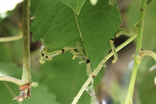

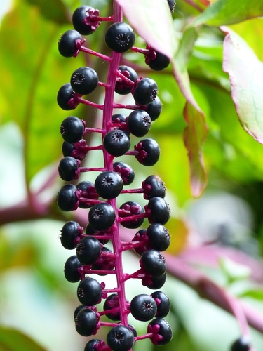
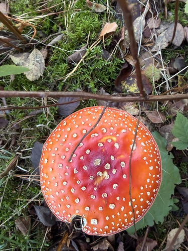



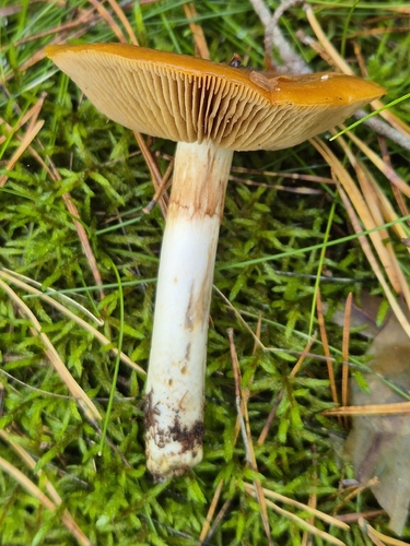
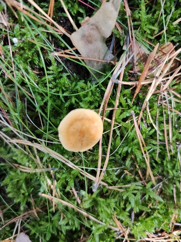
Research-grade observations from iNaturalist (within ~15 mi).
Events
Gallery
Official Identifiers
Destatis — German Federal Statistical Office
- AGS
- 12065136
- Population (Wikidata)
- 26,623
- Wikidata
- Q583462
Amtlicher Gemeindeschlüssel (AGS) via Wikidata P439
Sources
- • Wikipedia
- • Wikidata
- • iNaturalist
- • Open-Meteo / sunrise-sunset.org
- • Wikipedia Pageviews API
- • Open Library
- • Wikidata SPARQL (CC0) — population, area, elevation, inception, head of government, Commons image
- • Destatis — German Federal Statistical Office — Amtlicher Gemeindeschlüssel (AGS) via Wikidata P439