Browse / Germany / Bayern / Hersbruck
Hersbruck
Bayerntown

Hersbruck
Total population
12,470
Demographic figures from Destatis. Overview below cites Wikipedia and may reference a different year.
City facts
Sister cities
Facts from Wikidata (CC0).
Overview
Hersbruck is a small town in Middle Franconia, Bavaria, Germany, belonging to the district Nürnberger Land. It is best known for the late-gothic artwork of the Hersbruck altar, the "Hirtenmuseum" and the landscape of Hersbruck Switzerland.
Read more on WikipediaHistory & geography
History
Hersbruck was founded in 976 when a castle was built there near a bridge. The name probably comes from Haderihesprucga, the bridge of Haderich. In the Middle Ages the Golden Route from Nuremberg to Prague passed through the town, which brought prosperity. In 1297 Hersbruck was given municipal rights, after 1504 the town belonged to the area of the free imperial town Nuremberg and in 1806 became Bavarian. Hersbruck was the birthplace, in 1673, of Jacob Paul von Gundling, the famous and unfortunate historian at the court of Brandenburg-Prussia. During the Nazi regime, Hersbruck contained a subsidiary camp of Flossenbürg concentration camp. The camp had about 10,000 prisoners, about 4,000 of them died in Hersbruck. After World War II, that camp, on the outskirts of town, was converted for housing Latvian Displaced Persons and renamed as Camp Kathann. It was first operated by United Nations Relief and Rehabilitation Administration and later by International Refugee Organization. Today, the whole area where the camp used to be has been completely redeveloped. In 2007 the monument Ohne Namen (Without names) by Vittore Bocchetta has been erected in the Rosengarten close to the camp site. The artist, one of the Italian political deportees, had managed to escape in April 1945 during one of the death marches from Hersbruck to Dachau, when the camp was evacuated by the Nazis with the approach of U.S. forces.
Excerpted from the corresponding Wikipedia article (CC BY-SA).
Geography
Coordinates & boundaries from the US Census TIGER/Line shapefiles.
Climate
Air quality
Walkability
Amenities nearby
Wildlife & biodiversity
Earthquake history
Photos
Sights & places nearby
Notable people from here
Geography & sun
Elevation, sunrise/sunset and daylight from Open-Meteo. Solar climatology from NASA POWER.
Nearby airports
Public attention
Pageview totals from the Wikimedia Pageviews API.
Books about this place
Recent natural events nearby
Ground air-quality sensors
Recently spotted species
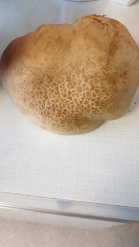
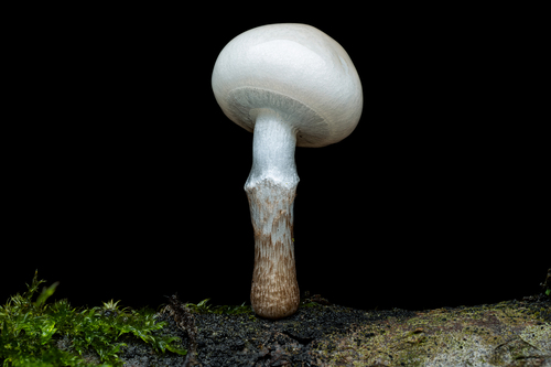
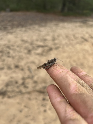
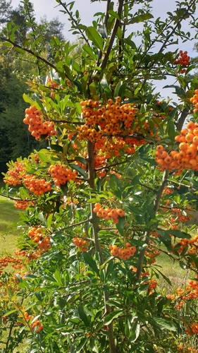
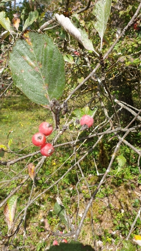
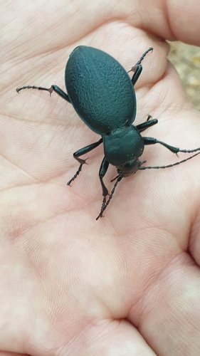
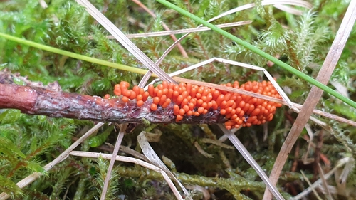
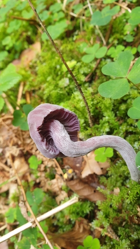
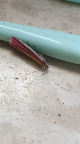
Research-grade observations from iNaturalist (within ~15 mi).
Events
Gallery
Official Identifiers
Destatis — German Federal Statistical Office
- AGS
- 09574132
- Population (Wikidata)
- 12,772
- Wikidata
- Q502865
Amtlicher Gemeindeschlüssel (AGS) via Wikidata P439
Sources
- • Wikipedia
- • Wikidata
- • iNaturalist
- • Open-Meteo / sunrise-sunset.org
- • Wikipedia Pageviews API
- • Wikidata SPARQL (CC0) — population, area, elevation, inception, head of government, Commons image
- • Destatis — German Federal Statistical Office — Amtlicher Gemeindeschlüssel (AGS) via Wikidata P439