Browse / Germany / Baden-Württemberg / Hirrlingen
Hirrlingen
Baden-Württembergvillage

Hirrlingen
Total population
2,974
Demographic figures from Destatis. Overview below cites Wikipedia and may reference a different year.
City facts
Sister cities
Facts from Wikidata (CC0).
Overview
Hirrlingen is a municipality in the district of Tübingen in Baden-Württemberg in Germany. Hirrlingen is located about 15 kilometers southwest from Tübingen.
Read more on WikipediaHistory & geography
History
The first written mention of Hirrlingen was on a document from the All Saints Monastery in Schaffhausen written in the year 1091. Around 1100, the Lords of Hirrlingen first appeared in historical sources. They lived and owned property or rights in and around Hirrlingen in the Duchy of Swabia. After the Lords of Hirrlingen went extinct, their property in Hirrlingen went to the Counts of Hohenberg in the 13th century who in turn enfeoffed the Lords of Ow. Through acquisitions made in the 15th and 16th century, the Ow established local lordship over Hirrlingen, which as a manor was part of the souvereignty of Further Austria. In 1557/1558, the Lords of Ow built the Hirrlingen castle, the St. Martin Church in 1606 and a St.-Sebastianus Brotherhood in the 18th century. In the 14th century, a women's monastery of the Dominican Order developed out of a community of religious women. The Bebenhausen Abbey also held some property in Hirrlingen for some time. In 1709, the line of the Lords of Hirrlingen died out. Between 1749 and 1790, the Counts of Attems ruled over Hirrlingen. In 1789, the Dominican Monastrary was secularized. In 1805, Hirrlingen went to the Electorate of Württemberg, which in 1806 turned into the Kingdom of Württemberg. When a was implemented in 1810, Hirrlingen was assigned to the so-called, an administrative unit. In 1821, the castle was sold to the Municipality of Hirrlingen and was subsequently used as a town hall. During the district reform in Württemberg in the Nazi era, the municipality became part of the district of Tübingen in 1938. In 1945, the village became part of the French occupation zone and thus came to the newly founded state of Württemberg-Hohenzollern, which merged with the state of Baden-Württemberg in 1952.
Geography
Hirrlingen is located roughly nine kilometers south west of Rotteburg am Neckar and around nine kilometers north west of Hechingen at the border of the landscape conservation area Rammert above the Starzel. Parts of the environmental protection zones Kapfhalde and Espenloch-Hintere Halde are located within the municipality Hirrlingen. The total area of the municipality of Hirrlingen amounts to 1281hectare. The cities and municipalities listed below border the municipality Hirrlingen. They are listed in clockwise order beginning in the north. They belong to the district of Tübingen or the district Zollernalbkreis¹ respectively: Rottenburg am Neckar, Bodelshausen, Hechingen¹, Rangendingen¹ and Starzach. The municipality includes the village Hirrlingen and the Houses Obere Mühle and Untere Mühle, which translates to Upper Mill and Lower Mill. The municipality also includes several abandoned villages. Bossenhausen an abandoned village in the East of the municipality was first mentioned as Bossenhusen in 1289 and was likely already abandoned in 1289. In the first half of the 12th century, an Ortschaft called Marpach or Marbach was located in what is today the Flur Harbach. Starzach includes parts of the nature reserve of Espenloch-Hintere Halde as well as the landscape conservation areas Rauher Rammert and Katzenbachtal. Parts of the municipal area belong to the Special Areas of Conservation Rammert and Neckar and side valleys at Rottenburg.
Excerpted from the corresponding Wikipedia article (CC BY-SA).
Geography
Coordinates & boundaries from the US Census TIGER/Line shapefiles.
Climate
Air quality
Walkability
Amenities nearby
Wildlife & biodiversity
Most-observed species
- Eurasian BlackbirdTurdus merula Linnaeus, 1758 · Aves2,710
- Carrion CrowCorvus corone Linnaeus, 1758 · Aves2,642
- Great TitParus major Linnaeus, 1758 · Aves2,525
- Eurasian Blue TitCyanistes caeruleus (Linnaeus, 1758) · Aves2,277
- Eurasian MagpiePica pica (Linnaeus, 1758) · Aves1,863
- Common BuzzardButeo buteo (Linnaeus, 1758) · Aves1,781
- Common ChaffinchFringilla coelebs Linnaeus, 1758 · Aves1,766
- Eurasian KestrelFalco tinnunculus Linnaeus, 1758 · Aves1,574
Citizen-science & research observations from the Global Biodiversity Information Facility (GBIF).
Earthquake history
Most recent
- M 3.4 — 2022-10-16Baden-Wurttemberg, Germany
- M 4 — 2022-07-092 km NNE of Grosselfingen, Germany
- M 4.1 — 2021-06-262 km SE of Hœrdt, France
- M 3.1 — 2008-12-253 km NNW of Saulgau, Germany
- M 2.5 — 2008-12-122 km ESE of Nehren, Germany
- M 2.8 — 2008-11-251 km S of Steinmauern, Germany
Events from the USGS Earthquake Catalog (global) (FDSN Event Web Service).
Photos
Sights & places nearby
Notable people from here


People born within ~10 km, from Wikidata (CC0). Click any name for their Wikipedia article.
Nearby places in Baden-Württemberg
Geography & sun
Elevation, sunrise/sunset and daylight from Open-Meteo. Solar climatology from NASA POWER.
Nearby airports
Public attention
Pageview totals from the Wikimedia Pageviews API.
Books about this place
Recent natural events nearby
Ground air-quality sensors
Recently spotted species
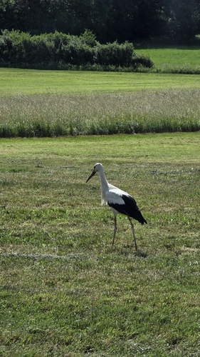
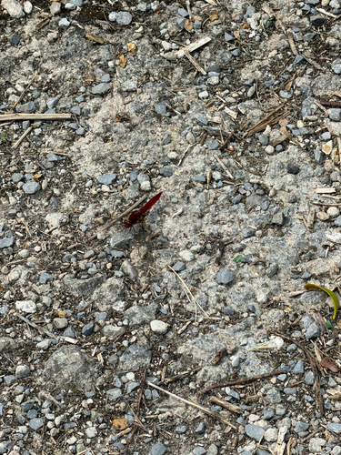
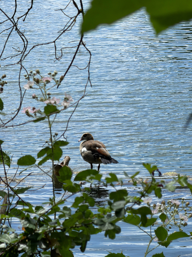
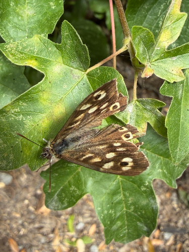
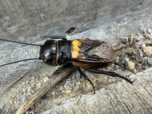
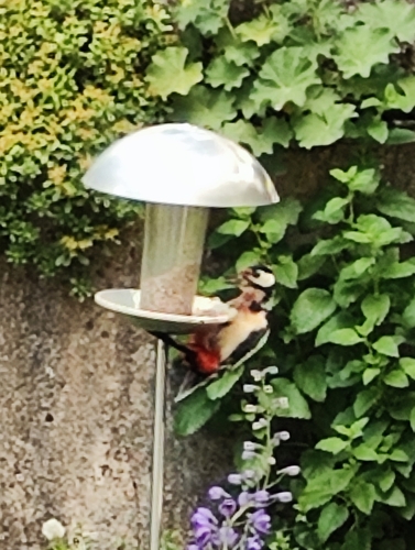
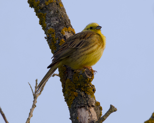
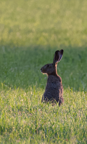
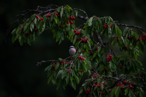
Research-grade observations from iNaturalist (within ~15 mi).
Events
Gallery
Geotagged photos within ~6 miles of Hirrlingen, from Wikimedia Commons contributors.
 0.1 mi
 0.1 mi
 0.1 mi
 0.1 mi
.png) 0.4 mi
0.4 mi.png) 0.4 mi
0.4 mi.png) 0.4 mi
0.4 mi.png) 0.4 mi
0.4 mi.png) 0.4 mi
0.4 mi.png) 0.4 mi
0.4 mi 0.5 mi
.png) 0.5 mi
0.5 mi.png) 0.5 mi
0.5 mi.png) 0.5 mi
0.5 mi.png) 0.5 mi
0.5 mi.png) 0.5 mi
0.5 mi.png) 0.5 mi
0.5 mi 0.9 mi
 0.9 mi
 0.9 mi
.png) 0.9 mi
0.9 mi.png) 0.9 mi
0.9 mi.png) 0.9 mi
0.9 mi.png) 0.9 mi
0.9 miPhotos via Wikimedia Commons — see each image page for license & attribution.
Official Identifiers
Destatis — German Federal Statistical Office
- AGS
- 08416018
- Population (Wikidata)
- 3,202
- Wikidata
- Q507682
Amtlicher Gemeindeschlüssel (AGS) via Wikidata P439
Sources
- • Wikipedia
- • Wikimedia Commons
- • Wikidata
- • USGS Earthquake Catalog (global feed)
- • GBIF (Global Biodiversity Information Facility)
- • iNaturalist
- • Open-Meteo / sunrise-sunset.org
- • Wikipedia Pageviews API
- • Destatis — German Federal Statistical Office — Amtlicher Gemeindeschlüssel (AGS) via Wikidata P439