Browse / Germany / Brandenburg / Hirschfeld
Hirschfeld
Brandenburgvillage

Featured view
Hirschfeld
Total population
1,484
Coordinates51.39°, 13.62°
Demographic figures from Destatis. Overview below cites Wikipedia and may reference a different year.
Loading additional data from public sources…0 / 11
CensusWikipediaWeatherPlacesPeopleEnvironmentHealth & SchoolsRelatedGeography & CultureLive MonitoringEvents & Gallery
0% completeCity facts
Overview
Hirschfeld is a municipality in the Elbe-Elster district, in Brandenburg, Germany.
Read more on WikipediaHistory & geography
Geography
Latitude
51.3892
Longitude
13.6187
Water area
—
Coordinates & boundaries from the US Census TIGER/Line shapefiles.
Climate
Air quality
Walkability
Amenities nearby
Wildlife & biodiversity
Earthquake history
Photos
Sights & places nearby
Notable people from here
E
Ernst von Delius
racecar driver (1912-1937)
W
Wilhelm Braune
German philologist (1850–1926)

Ralf Minge
German footballer and manager
B
Bodo Martin Vogel
German author (1900-1954)

Christian Gottlob Frege
German merchant (1715-1781)
E
Erich Kunisch
German painter (1929-2003)

Ernestine Lutze
German politician (1873-1948)

Jörg Junhold
German veterinarian
G
Georg Müller
German judge (1868-1945)

Heinrich Ludwig Erdmannsdorf
German politician (1776-1853)
H
Heinrich Nicklisch
German economist (1876-1946)
J
Johann Gregor Fuchs
German architect
S
Sieghardt Rydzewski
German politician

Karl-Heinz Kretschmer
German politician

Theodor Zachariae
German indologist (1851-1934)
P
Paul Lindau
German sculptor (1881-1945)
People born within ~10 km, from Wikidata (CC0). Click any name for their Wikipedia article.
Nearby places in Brandenburg
- Großkmehlen4.6 mi away · pop. 1,325
- Tettau5.6 mi away · pop. 915
- Reichenhain9.5 mi away
- Dobra11.4 mi away · pop. 188
- Ruhland11.7 mi away · pop. 3,747
- Theisa12.3 mi away · pop. 365
- Sorno12.6 mi away
- Kostebrau13.1 mi away
- Prestewitz13.7 mi away · pop. 372
- Schwarzbach14.4 mi away · pop. 803
- Lindena14.5 mi away
- Rothstein14.6 mi away · pop. 167
Geography & sun
Avg solar (kWh/m²/day)
2.91
Annual solar (kWh/m²)
1,061
Elevation, sunrise/sunset and daylight from Open-Meteo. Solar climatology from NASA POWER.
Nearby airports
Public attention
Wikipedia views (last 30 days)
0
Avg daily Wikipedia views
0
Attention level
Obscure
Pageview totals from the Wikimedia Pageviews API.
Books about this place
Recent natural events nearby
Ground air-quality sensors
Recently spotted species
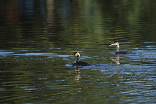
Great Crested Grebe
Podiceps cristatus
Seen 2026-09-26
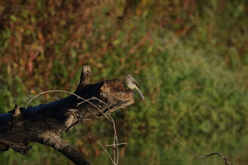
Grey Wagtail
Motacilla cinerea
Seen 2026-09-26
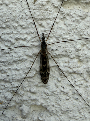
Tipula confusa
Tipula confusa
Seen 2026-09-25

Plantain Leaf Beetle
Chrysolina haemoptera
Seen 2026-09-25
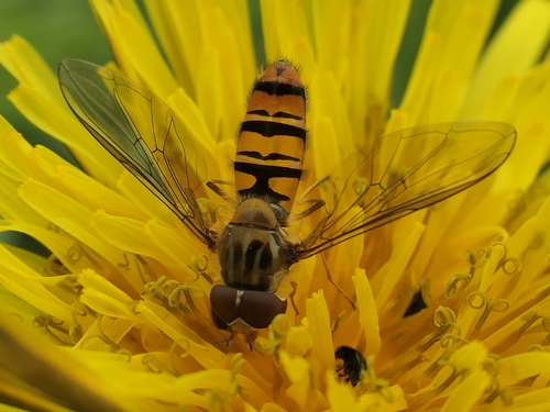
Marmalade Hover Fly
Episyrphus balteatus
Seen 2026-09-25
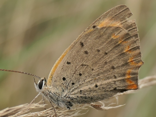
Small Copper
Lycaena phlaeas
Seen 2026-09-25
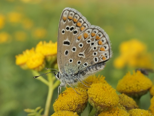
Common Blue
Polyommatus icarus
Seen 2026-09-23
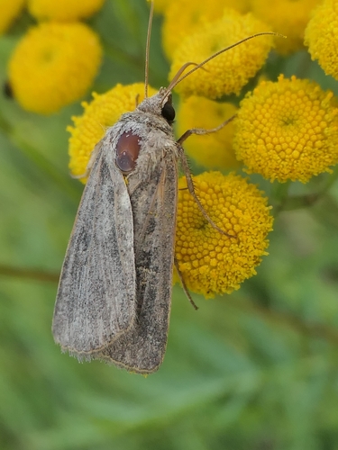
Square-spot Rustic
Xestia xanthographa
Seen 2026-09-23
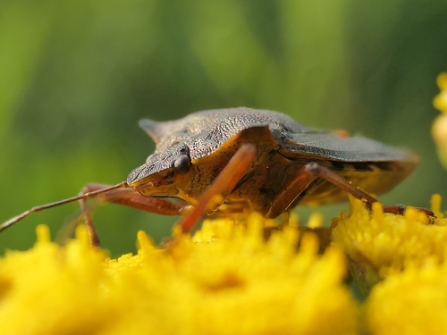
Forest Bug
Pentatoma rufipes
Seen 2026-09-23
Research-grade observations from iNaturalist (within ~15 mi).
Events
Gallery
Official Identifiers
Destatis — German Federal Statistical Office
- AGS
- 12062232
- Population (Wikidata)
- 1,183
- Wikidata
- Q178656
Amtlicher Gemeindeschlüssel (AGS) via Wikidata P439
Sources
- • Wikipedia
- • Wikidata
- • iNaturalist
- • Open-Meteo / sunrise-sunset.org
- • Wikipedia Pageviews API
- • Destatis — German federal statistics, Amtlicher Gemeindeschlüssel (AGS) via Wikidata P439 (state prefix, municipality key)