Browse / Germany / Baden-Württemberg / Holzgerlingen
Holzgerlingen
Baden-Württembergtown

Holzgerlingen
Total population
11,689
Demographic figures from Destatis. Overview below cites Wikipedia and may reference a different year.
City facts
Sister cities
Facts from Wikidata (CC0).
Overview
Holzgerlingen is a municipality in the German Federal State of Baden-Württemberg. It is located in district of Böblingen.
Read more on WikipediaHistory & geography
History
The history of the settlement goes back to Neolithic times, and it is thought that the city was founded by Celts sometime in the period between 550 BC and 50 BC. Sometime around 100 AD, the Romans conquered the area around the city, although they were in turn overthrown by Alemannic tribes in the vicinity of 300 AD. In Germany, because many cities are extremely old and dating is inexact, a city's official history is considered to begin at the first time it is mentioned in writing. Holzgerlingen was first mentioned in the year 1007 in a history written by the Bishop of Bamberg during the reign of Henry II of the Holy Roman Empire. The city was in the possession of the Palatinate of Tübingen from approximately 1100 until 1348, when the city was sold to the state of Württemberg. The city was deeply affected by the German Peasants' War, a popular revolt which took place in 1525. The Protestant Reformation reached the city in 1534, and the city has remained Lutheran ever since. In 1735, during the War of the Polish Succession, Russian troops were quartered in the city as they marched on France. Just eight years later, in 1743, the city was used to quarter troops for Franz Freiherr von der Trenck during the War of the Austrian Succession. In 1812 fifteen people from Holzgerlingen joined the troops of Napoleon for his war against Russia so their families would be guaranteed safety, but never returned. The first post office was constructed in 1865, and in 1907, the city was connected to the electric power grid. In 1945, during World War II, French troops burned down the city hall. It was rebuilt in 1950. The city obtained home-rule rights from the German government in 1993.
Geography
Holzgerlingen, with its population of around 14,600, lies in a clearing in the Schönbuch, a large forest in the state of Baden-Württemberg and it is located between the Black Forest and the Swabian Jura. It is south of the city of Böblingen. The old city center lies about above mean sea level on a watershed. The source of the Aich River is located in the southeast of Holzgerlingen, the Aich is flowing east and feeding the Neckar River at Nürtingen. The source of the Würm River is located west of the city on administrative area of Altdorf, the Würm is flowing westwards merging with the Nagold River and Enz River in Pforzheim. Holzgerlingen, like many cities in southern Germany, and the Schönbuch region particularly, possess a temperate climate with four distinct seasons. Throughout the year, minimal temperatures range from between during the night in January and February, the coldest months of the year, to between during July and August afternoons. The wettest month of the year is November, when frequent storm systems blowing in off of both the North Sea and the Atlantic Ocean. During November, of precipitation falls, mostly as rain. Snow does fall in the region, but because daytime temperatures even in Winter are frequently above , long-lasting snow cover is unusual. The driest month of the year is September, when only of precipitation occurs. In a normal year, precipitation totals .
Excerpted from the corresponding Wikipedia article (CC BY-SA).
Geography
Coordinates & boundaries from the US Census TIGER/Line shapefiles.
Climate
10-year averages from ERA5 reanalysis (Open-Meteo).
Air quality
Walkability
Amenities nearby
Wildlife & biodiversity
Most-observed species
- Eurasian BlackbirdTurdus merula Linnaeus, 1758 · Aves4,566
- Great TitParus major Linnaeus, 1758 · Aves4,120
- Carrion CrowCorvus corone Linnaeus, 1758 · Aves3,890
- Eurasian Blue TitCyanistes caeruleus (Linnaeus, 1758) · Aves3,747
- Common Wood-PigeonColumba palumbus Linnaeus, 1758 · Aves2,647
- European RobinErithacus rubecula (Linnaeus, 1758) · Aves2,643
- Common ChaffinchFringilla coelebs Linnaeus, 1758 · Aves2,622
- Common BuzzardButeo buteo (Linnaeus, 1758) · Aves2,485
Citizen-science & research observations from the Global Biodiversity Information Facility (GBIF).
Earthquake history
Most recent
- M 3.4 — 2022-10-16Baden-Wurttemberg, Germany
- M 4 — 2022-07-092 km NNE of Grosselfingen, Germany
- M 4.1 — 2021-06-262 km SE of Hœrdt, France
- M 3.1 — 2008-12-253 km NNW of Saulgau, Germany
- M 2.5 — 2008-12-122 km ESE of Nehren, Germany
- M 2.8 — 2008-11-251 km S of Steinmauern, Germany
Events from the USGS Earthquake Catalog (global) (FDSN Event Web Service).
Photos
Sights & places nearby
Notable people from here


People born within ~10 km, from Wikidata (CC0). Click any name for their Wikipedia article.
Geography & sun
Elevation, sunrise/sunset and daylight from Open-Meteo. Solar climatology from NASA POWER.
Nearby airports
Public attention
Pageview totals from the Wikimedia Pageviews API.
Books about this place
Recent natural events nearby
Ground air-quality sensors
Recently spotted species
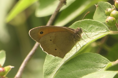
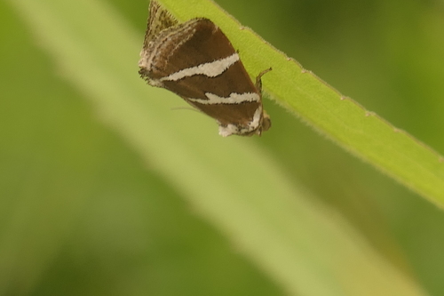
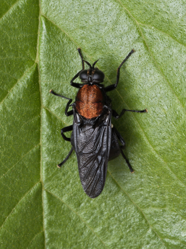
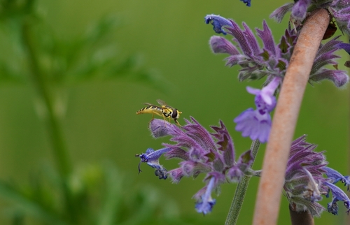
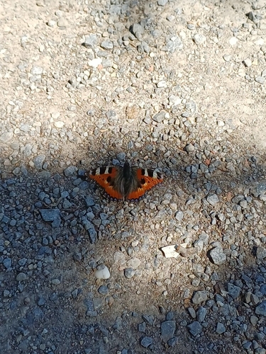
Research-grade observations from iNaturalist (within ~15 mi).
Events
Gallery
Official Identifiers
Destatis — German Federal Statistical Office
- AGS
- 08115024
- Population (Wikidata)
- 13,841
- Wikidata
- Q527883
Amtlicher Gemeindeschlüssel (AGS) via Wikidata P439
Sources
- • Wikipedia
- • Open-Meteo (ERA5 reanalysis)
- • Wikidata
- • USGS Earthquake Catalog (global feed)
- • GBIF (Global Biodiversity Information Facility)
- • iNaturalist
- • Open-Meteo / sunrise-sunset.org
- • Wikipedia Pageviews API
- • Wikidata SPARQL (CC0) — population, area, elevation, inception, head of government, Commons image
- • Destatis — German Federal Statistical Office — Amtlicher Gemeindeschlüssel (AGS) via Wikidata P439