Browse / Germany / Baden-Württemberg / Immendingen
Immendingen
Baden-Württembergvillage

Immendingen
Total population
5,891
Air quality index
Demographic figures from Destatis. Overview below cites Wikipedia and may reference a different year.
City facts
Facts from Wikidata (CC0).
Overview
Immendingen is a municipality in the district of Tuttlingen in Baden-Württemberg in Germany located on the Upper Danube. It is famous for the Danube Sinkhole.
Read more on WikipediaHistory & geography
History
Immendingen was built at the crossroads of ancient trade routes. As the name suggests, it was a settlement of the alemannic period. The name goes back to an Alemannic patriarch, who settled with his family in the valley of the Danube. The first documentary evidence dates back to 1101. In the Carolingian period, the village belonged to the Aitrach to Hegau and was assigned to the Baar in the 12th century. Originally owned by the Counts of Zollern the area eventually became part of the Zähringers. In 1250 it was taken over by the Count of Fürstenberg. Many centuries are dominated by local lords living in the community. Significant gender of the local lords were the lords of Schreckenstein (on the „Upper Castle“) and the lords of Reischach (on the „Lower Castle“). In the course of municipal reform in Baden-Württemberg, the hitherto separate municipality Zimmern was incorporated on 1 January 1971. On 1 December 1971, the incorporation of Mauenheim was. Hattingen, Hintschingen and Ippingen were incorporated on December 1, 1974. In December 1958 the barracks „Oberfeldwebel-Schreiber-Kaserne“ was built. According to the current stationing concept of the Bundeswehr the barracks will be closed in the third quarter of 2016. The 3rd French hussar regiment of the Franco-German Brigade was based in barracks from 1996 to 2011.
Geography
Immendingen is located on the Upper Danube. On the municipal area are parts of the Danube Sinkhole. With the mountain Höwenegg in Immendingen begins the extinct volcanic landscape of Hegau. Archaeological excavations at the Höwenegg recover saber-toothed tigers, antelopes and one of the few well preserved ancestral horses. The municipality borders Talheim to the north, Tuttlingen to the east, Emmingen-Liptingen to the southeast, Engen to the south, and Geisingen and Bad Durrheim to the west. The whole municipality with the previously independent municipalities Hattingen, Hintschingen, Ippingen, Mauenheim and Zimmern include 22 villages, hamlets, farms and houses. Coat of arms of several incorporated municipalities {| class="wikitable" style="font-size:85%" |- align="center" |Hattingen |Hintschingen |Ippingen |Mauenheim |Zimmern |}
Excerpted from the corresponding Wikipedia article (CC BY-SA).
Geography
Coordinates & boundaries from the US Census TIGER/Line shapefiles.
Climate
10-year averages from ERA5 reanalysis (Open-Meteo).
Air quality
Current readings from Open-Meteo Air Quality API (Copernicus CAMS European reanalysis).
Walkability
Amenities nearby
Wildlife & biodiversity
Most-observed species
- Eurasian BlackbirdTurdus merula Linnaeus, 1758 · Aves1,234
- Carrion CrowCorvus corone Linnaeus, 1758 · Aves1,182
- Great TitParus major Linnaeus, 1758 · Aves1,088
- Eurasian Blue TitCyanistes caeruleus (Linnaeus, 1758) · Aves983
- Eurasian MagpiePica pica (Linnaeus, 1758) · Aves910
- House SparrowPasser domesticus (Linnaeus, 1758) · Aves848
- Common ChaffinchFringilla coelebs Linnaeus, 1758 · Aves783
- Red KiteMilvus milvus (Linnaeus, 1758) · Aves674
Citizen-science & research observations from the Global Biodiversity Information Facility (GBIF).
Earthquake history
Most recent
- M 4.2 — 2026-04-264 km NNW of Quarten, Switzerland
- M 3.5 — 2024-06-271 km SSW of Todtmoos, Germany
- M 4.2 — 2024-06-042 km NNW of Unteriberg, Switzerland
- M 3.4 — 2022-10-16Baden-Wurttemberg, Germany
- M 4 — 2022-07-092 km NNE of Grosselfingen, Germany
- M 3.1 — 2018-05-042 km W of Schliengen, Germany
Events from the USGS Earthquake Catalog (global) (FDSN Event Web Service).
Photos
Sights & places nearby
Notable people from here
Geography & sun
Nearby airports
Public attention
Books about this place
Recent natural events nearby
Ground air-quality sensors
Recently spotted species
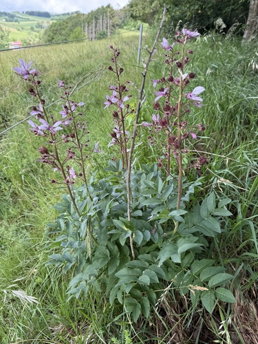
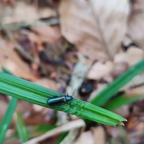
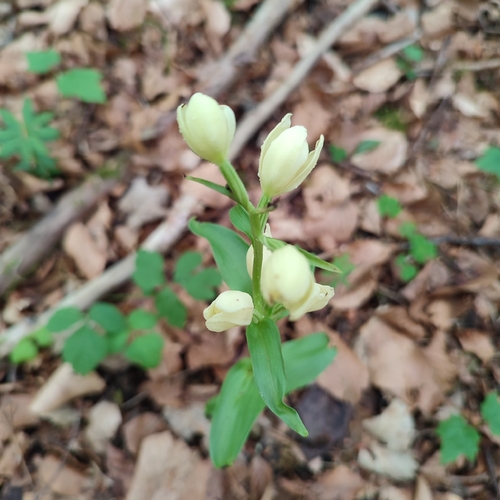
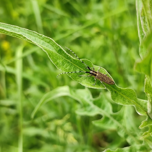
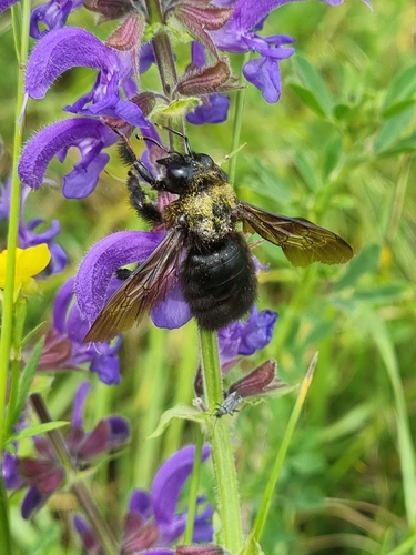
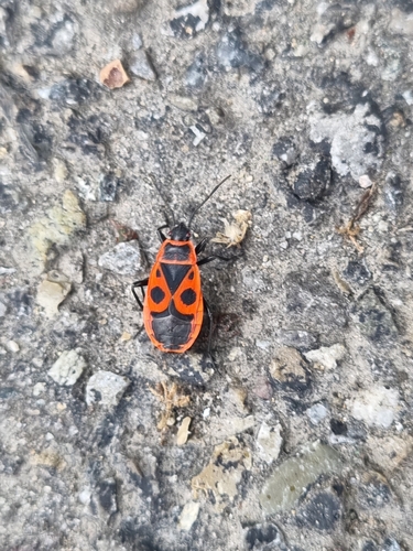
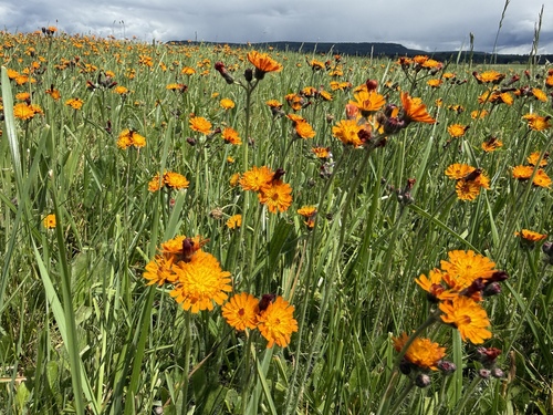
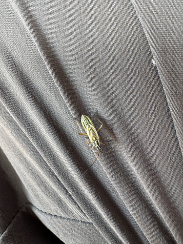
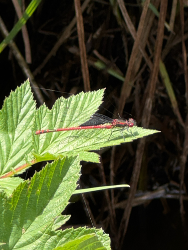
Research-grade observations from iNaturalist (within ~15 mi).
Events
Gallery
Official Identifiers
Destatis — German Federal Statistical Office
- AGS
- 08327025
- Population (Wikidata)
- 6,601
- Wikidata
- Q520808
Amtlicher Gemeindeschlüssel (AGS) via Wikidata P439
Sources
- • Wikipedia
- • Open-Meteo (ERA5 reanalysis)
- • Wikidata
- • Open-Meteo Air Quality (CAMS)
- • USGS Earthquake Catalog (global feed)
- • GBIF (Global Biodiversity Information Facility)
- • iNaturalist
- • Wikidata SPARQL (CC0) — population, area, elevation, inception, head of government, Commons image
- • Destatis — German Federal Statistical Office — Amtlicher Gemeindeschlüssel (AGS) via Wikidata P439