Browse / Germany / Bayern / Ingolstadt
Ingolstadt
Bayerncity
Total population
127,886
Founded
1200
Demographic figures from Destatis. Overview below cites Wikipedia and may reference a different year.
City facts
Facts from Wikidata (CC0).
Overview
Ingolstadt is an independent city on the Danube, in Upper Bavaria, Germany, with 142,308 inhabitants. Around half a million people live in the metropolitan area. Ingolstadt is the second largest city in Upper Bavaria after Munich and the fifth largest city in Bavaria after Munich, Nuremberg, Augsburg and Regensburg. The city passed the mark of 100,000 inhabitants in 1989 and has since been one of the major cities in Germany. After Regensburg, Ingolstadt is the second largest German city on the Danube.
Read more on WikipediaHistory & geography
History
Ingolstadt was first mentioned in a document of Charlemagne on 6 February 806 as "Ingoldes stat", i.e. "the place of [a person named] Ingold". , Ingolstadt was granted city status. Ingolstadt was the capital of the Duchy of Bavaria-Ingolstadt between 1392 and 1447. Ingolstadt was then united with Bavaria-Landshut. Louis VII, Duke of Bavaria ordered the building of the New Castle as well as the (, also ), also known as "Upper Parish" (Obere Pfarr), whose form was strongly influenced by French Gothic architecture. In 1472, Louis IX, Duke of Bavaria founded the University of Ingolstadt, which became LMU Munich. In 1800, it was moved to Landshut and in 1826 eventually to Munich. The University of Ingolstadt was an influential defender of the Catholic Church during the Reformation era, led by such notable scholars as Johann Eck. Ingolstadt is where William IV, Duke of Bavaria wrote and signed the Bavarian Reinheitsgebot in 1516. On 30 April 1632, the German field marshal Johann Tserclaes, Count of Tilly died at Ingolstadt during a Swedish siege of the city. The field marshal had been badly wounded in a previous engagement with the Swedes under King Gustavus Adolphus. Ingolstadt proved to be the first fortress in Germany that held out for the entire length of the Swedish siege, and the Swedes eventually withdrew. Gustavus Adolphus' horse's remains can be seen in the City Museum. The horse was shot from under the king by one of the cannons inside the fortress, a cannon known as "The Fig". When the Swedes withdrew, the city preserved the remains of the king's horse, eventually putting the on display. It has remained thus for almost 400 years. In 1748, Adam Weishaupt, the founder of the Order of Illuminati, was born in Ingolstadt. After the French invasion in 1799, the…
Geography
Covering an urban area of , Ingolstadt is geographically Bavaria's fourth-largest city after Munich, Nuremberg, and Augsburg. At its largest point, the city is about from east to west and from north to south about . The city boundary has a length of . The city boundary is about away from the geographic centre of Bavaria in Kipfenberg. The old town is approximately above sea level and the highest point, located in the district of Pettenhofen, is . The lowest point of the Schutter confluence with the Danube is at above sea level. Ingolstadt uses Central European Time throughout Germany; the average time lag is 14 minutes. The city is expanding at the northern and southern banks of the Danube in a wide, flat bowl. The Ingolstadt basin borders the Franconian Jura foothills, located south and to the north of the . In the southwest is the Old Bavarian Donaumoos, while in the east, the lowland forests of the Danube reach into the urban area. It is the second-largest hardwood floodplain on the Danube. The Sandrach, the former southern main branch of the Danube, partly forms the southern city border. In the north, the Schutter flows through from the west, reaching the Danube near the old town.
Excerpted from the corresponding Wikipedia article (CC BY-SA).
Geography
Coordinates & boundaries from the US Census TIGER/Line shapefiles.
Climate
Air quality
Walkability
Amenities nearby
Wildlife & biodiversity
Earthquake history
Photos
Sights & places nearby
Notable people from here


People born within ~10 km, from Wikidata (CC0). Click any name for their Wikipedia article.
Nearby places in Bayern
- Reichertshofen7.5 mi away · pop. 5,000
- Rohrbach an der Ilm12.1 mi away · pop. 5,818
- Gelbelsee12.6 mi away
- Rudertshausen17.8 mi away
- Osterwaal18.5 mi away
- Siegenburg19.3 mi away · pop. 1,783
- Kirchdorf19.5 mi away
- Entrischenbrunn19.6 mi away
- Sünzhausen19.9 mi away
- Dietfurt an der Altmühl20.2 mi away · pop. 2,398
- Kleingundertshausen20.3 mi away
- Holzhausen20.6 mi away
Geography & sun
Elevation, sunrise/sunset and daylight from Open-Meteo. Solar climatology from NASA POWER.
Nearby airports
Public attention
Pageview totals from the Wikimedia Pageviews API.
Books about Ingolstadt

Search results from Open Library.
Recent natural events nearby
Ground air-quality sensors
Recently spotted species
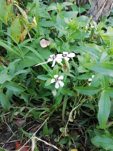
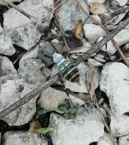
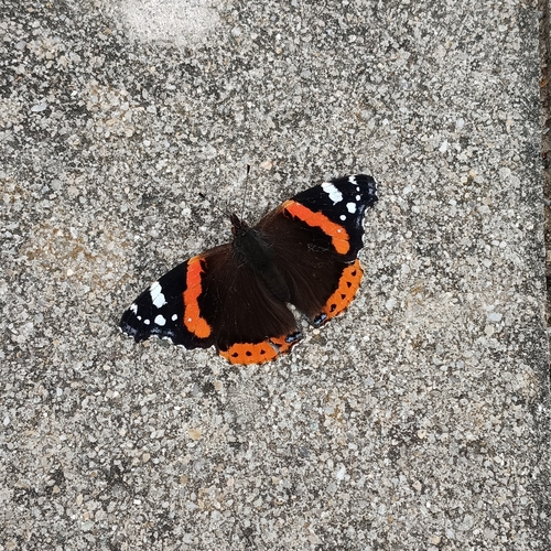
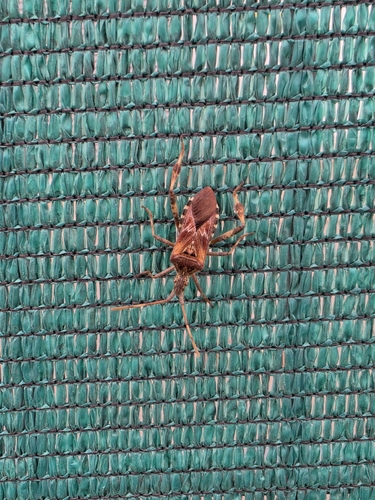
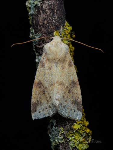
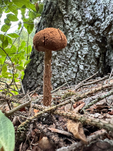
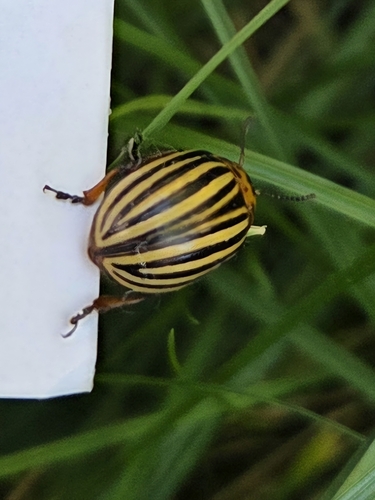
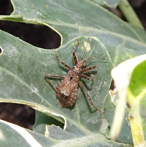
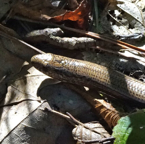
Research-grade observations from iNaturalist (within ~15 mi).
Events
Notable, recurring, and historical events associated with Ingolstadt, sourced from Wikidata.
- Q218560Jan 1, 2008recurring event edition
Source: Wikidata (CC0).
Gallery
Official Identifiers
Destatis — German Federal Statistical Office
- AGS
- 09161000
- Population (Wikidata)
- 142,308
- Wikidata
- Q3004
Amtlicher Gemeindeschlüssel (AGS) via Wikidata P439
Sources
- • Wikipedia
- • Wikidata
- • iNaturalist
- • Open-Meteo / sunrise-sunset.org
- • Wikipedia Pageviews API
- • Open Library
- • Wikidata SPARQL (CC0) — population, area, elevation, inception, head of government, Commons image
- • Destatis — German Federal Statistical Office — Amtlicher Gemeindeschlüssel (AGS) via Wikidata P439