Browse / Germany / Brandenburg / Jüterbog
Jüterbog
Brandenburgtown

Jüterbog
Total population
12,830
Demographic figures from Destatis. Overview below cites Wikipedia and may reference a different year.
City facts
Facts from Wikidata (CC0).
Overview
Jüterbog is a historic town in north-eastern Germany, in the Teltow-Fläming district of Brandenburg. It is on the Nuthe river at the northern slope of the Fläming hill range, about 65 km (40 mi) southwest of Berlin.
Read more on WikipediaHistory & geography
History
The Slavic settlement of Jutriboc in the Saxon Eastern March was first mentioned in 1007 by Thietmar of Merseburg, chronicler of Archbishop Tagino of Magdeburg. However, it was not incorporated into the Magdeburg diocese until 1157, when Archbishop Wichmann von Seeburg in the train of Albert the Bear established a burgward here. In 1170 Wichmann also founded the neighbouring Zinna Abbey and granted Jüterbog town privileges in 1174. The area remained a Magdeburg exclave between the Duchy of Saxe-Wittenberg and the Margraviate of Brandenburg throughout the Middle Ages. In March 1611 a treaty was signed in Jüterbog between Brandenburg and the Electorate of Saxony in a failed attempt to end the War of the Jülich succession. In November 1644, during the Thirty Years' War, Swedish troops defeated an Imperial army nearby. While the Magdeburg Archbishopric was promised to Brandenburg-Prussia by the 1648 Peace of Westphalia, the town of Jüterbog passed to Saxony. The Battle of Dennewitz occurred two miles (3 km) southwest of Jüterbog on 6 September 1813 during the Napoleonic Wars. The Final Act of the 1815 Congress of Vienna finally adjudicated the town to the Kingdom of Prussia, it was subsequently administered within the Province of Brandenburg and became a garrison town of the Prussian Army. In 1871 it became part of the German Empire during the unification of Germany. Under Nazi rule, Jüterbog's army base was greatly expanded and three surrounding villages were razed to make space for training areas. During the partition of Germany from 1945 to 1990, Jüterbog was part of East Germany and remained an important garrison town, but then for the Red Army. Up to 40,000 Soviet soldiers were garrisoned in imposing Nazi-era barracks and in new buildings in the countryside.…
Excerpted from the corresponding Wikipedia article (CC BY-SA).
Geography
Coordinates & boundaries from the US Census TIGER/Line shapefiles.
Climate
Air quality
Walkability
Amenities nearby
Wildlife & biodiversity
Earthquake history
Photos
Sights & places nearby
Notable people from here
Nearby places in Brandenburg
- Markendorf4 mi away · pop. 360
- Fröhden4.1 mi away · pop. 273
- Gölsdorf4.8 mi away · pop. 190
- Welsickendorf6.5 mi away · pop. 217
- Klausdorf7.1 mi away
- Bardenitz8.1 mi away · pop. 354
- Danna9.3 mi away · pop. 90
- Wergzahna12.6 mi away · pop. 86
- Ihlow13.9 mi away · pop. 828
- Sperenberg15.9 mi away · pop. 1,600
- Lüdersdorf16.1 mi away · pop. 470
- Trebbin16.4 mi away · pop. 9,250
Geography & sun
Elevation, sunrise/sunset and daylight from Open-Meteo. Solar climatology from NASA POWER.
Nearby airports
Public attention
Pageview totals from the Wikimedia Pageviews API.
Books about Jüterbog
Search results from Open Library.
Recent natural events nearby
Ground air-quality sensors
Recently spotted species
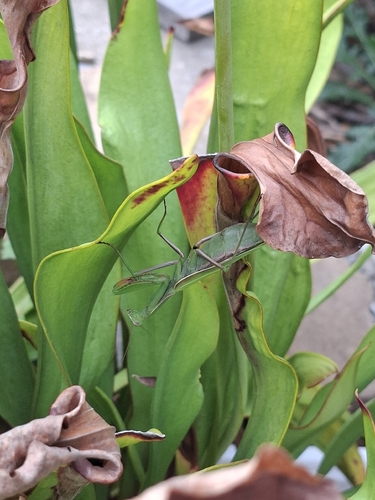
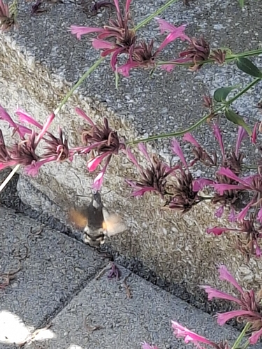
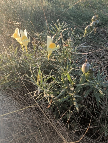
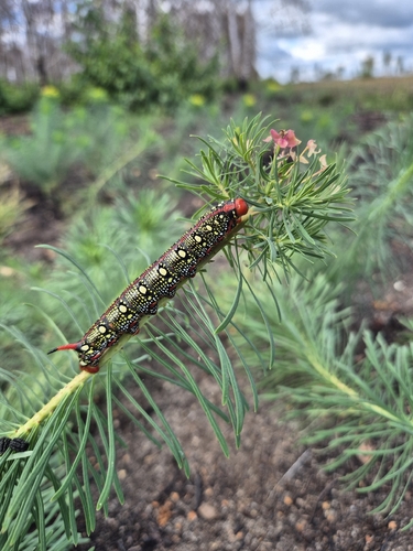
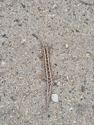
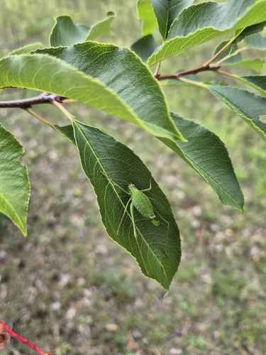
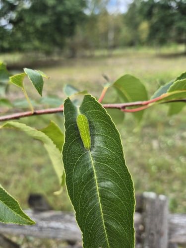
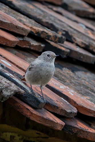
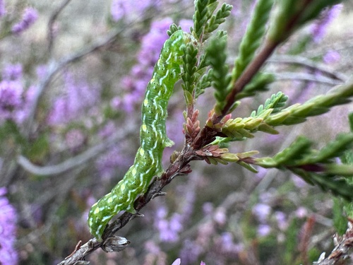
Research-grade observations from iNaturalist (within ~15 mi).
Events
Gallery
Official Identifiers
Destatis — German Federal Statistical Office
- AGS
- 12072169
- Population (Wikidata)
- 12,661
- Wikidata
- Q486541
Amtlicher Gemeindeschlüssel (AGS) via Wikidata P439
Sources
- • Wikipedia
- • Wikidata
- • iNaturalist
- • Open-Meteo / sunrise-sunset.org
- • Wikipedia Pageviews API
- • Open Library
- • Wikidata SPARQL (CC0) — population, area, elevation, inception, head of government, Commons image
- • Destatis — German Federal Statistical Office — Amtlicher Gemeindeschlüssel (AGS) via Wikidata P439