Browse / Germany / Baden-Württemberg / Karlsruhe
Karlsruhe
Baden-Württembergcity

Karlsruhe
Total population
283,959
Founded
1715
Air quality index
Demographic figures from Destatis. Overview below cites Wikipedia and may reference a different year.
City facts
Sister cities
Facts from Wikidata (CC0).
Overview
Karlsruhe is the third-largest city of the German state of Baden-Württemberg, after its capital Stuttgart and Mannheim, and the 22nd-largest city in the nation, with 308,436 inhabitants. It is also a former capital of Baden, a historic region named after Hohenbaden Castle in the city of Baden-Baden. Located on the right bank of the Rhine near the French border, between the Mannheim-Ludwigshafen conurbation to the north and Strasbourg to the south, Karlsruhe is Germany's legal center, being home to the Federal Constitutional Court, the Federal Court of Justice and the Public Prosecutor General.
Read more on WikipediaHistory & geography
History
According to legend, the name Karlsruhe, which translates as "Charles' repose" or "Charles' peace", was given to the new city after a hunting trip when Margrave Charles III William of Baden-Durlach woke from a dream in which he dreamt of founding his new city. A variation of this story claims that he built the new palace to find peace from his wife. Charles William founded the city on 17 June 1715 after a dispute with the citizens of his previous capital, Durlach. The founding of the city is closely linked to the construction of the palace. Karlsruhe became the capital of Baden-Durlach, and, in 1771, of the united Baden until 1945. Built in 1822, the Ständehaus was the first parliament building in a German state. In the aftermath of the democratic revolution of 1848, a republican government was elected there. Karlsruhe was visited by Thomas Jefferson during his time as the American envoy to France; when Pierre Charles L'Enfant was planning the layout of Washington, D.C., Jefferson passed to him maps of 12 European towns to consult, one of which was a sketch he had made of Karlsruhe during his visit. In 1860, the first-ever international professional convention of chemists, the Karlsruhe Congress, was held in the city. In 1907 the town was site of the Hau Riot where large crowds caused disturbance during the trial of murderer Carl Hau. During World War I, Karlsruhe was a target of French air raids. On 15 June 1915, 23 French aircraft bombed Karlsruhe, dropping 107 bombs that killed 30 people and injured 68 others. A more devastating air raid followed on 22 June 1916, when French aircraft bombed the city again. The attack, the deadliest air raid on Germany during the war, killed or injured more than 260 people. On Kristallnacht in 1938, the Adass Jeshurun synagogue…
Geography
Karlsruhe lies completely to the east of the Rhine, and almost completely on the Upper Rhine Plain. It contains the Turmberg in the east, and also lies on the borders of the Kraichgau leading to the Northern Black Forest. The Rhine river, one of the world's most important shipping routes, forms the western limits of the city, beyond which lie the towns of Maximiliansau and Wörth am Rhein in the German state of Rhineland-Palatinate. The city centre is about from the river, as measured from the Marktplatz (Market Square). Two tributaries of the Rhine, the Alb and the Pfinz, flow through the city from the Kraichgau to eventually join the Rhine. The city lies at an altitude of between , the higher figure being near the communications tower in the suburb of Grünwettersbach. Its geographical coordinates are ; the 49th parallel runs through the city centre, which puts it at the same latitude as much of the Canada–United States border and the cities of Vancouver (Canada), Paris (France), Regensburg (Germany), and Hulunbuir (China). Its course is marked by a stone and painted line in the Stadtgarten (municipal park). The total area of the city is , hence it is the 30th largest city in Germany measured by land area. The longest north–south distance is and in the east–west direction. Karlsruhe is part of the urban area of Karlsruhe/Pforzheim, to which certain other towns in the district of Karlsruhe, such as Bruchsal, Ettlingen, Stutensee, and Rheinstetten, as well as the city of Pforzheim, belong. The city was planned with the palace tower (Schloss) at the center and 32 streets radiating out from it like the spokes of a wheel, or the ribs of a folding fan, so that one nickname for Karlsruhe in German is the "fan city" (Fächerstadt). Almost all of these streets…
Excerpted from the corresponding Wikipedia article (CC BY-SA).
Geography
Coordinates & boundaries from the US Census TIGER/Line shapefiles.
Climate
Air quality
Current readings from Open-Meteo Air Quality API (Copernicus CAMS European reanalysis).
Walkability
Amenities nearby
Wildlife & biodiversity
Most-observed species
- Eurasian BlackbirdTurdus merula Linnaeus, 1758 · Aves4,747
- Zoropsid spiderZoropsis spinimana (Dufour, 1820) · Arachnida4,386
- Carrion CrowCorvus corone Linnaeus, 1758 · Aves4,256
- Common Wood-PigeonColumba palumbus Linnaeus, 1758 · Aves4,162
- Great TitParus major Linnaeus, 1758 · Aves4,052
- House SparrowPasser domesticus (Linnaeus, 1758) · Aves3,325
- Eurasian Blue TitCyanistes caeruleus (Linnaeus, 1758) · Aves3,162
- Eurasian MagpiePica pica (Linnaeus, 1758) · Aves3,017
Citizen-science & research observations from the Global Biodiversity Information Facility (GBIF).
Earthquake history
Most recent
- M 3.4 — 2022-10-16Baden-Wurttemberg, Germany
- M 4 — 2022-07-092 km NNE of Grosselfingen, Germany
- M 4.1 — 2021-06-262 km SE of Hœrdt, France
- M 3.6 — 2014-05-172 km ESE of Pfungstadt, Germany
- M 2.5 — 2008-12-122 km ESE of Nehren, Germany
- M 2.8 — 2008-11-251 km S of Steinmauern, Germany
Events from the USGS Earthquake Catalog (global) (FDSN Event Web Service).
Photos
Sights & places nearby
Notable people from here


People born within ~10 km, from Wikidata (CC0). Click any name for their Wikipedia article.
Nearby places in Baden-Württemberg
Geography & sun
Elevation, sunrise/sunset and daylight from Open-Meteo. Solar climatology from NASA POWER.
Nearby airports
Public attention
Pageview totals from the Wikimedia Pageviews API.
Books about Karlsruhe
Search results from Open Library.
Recent natural events nearby
Ground air-quality sensors
Recently spotted species
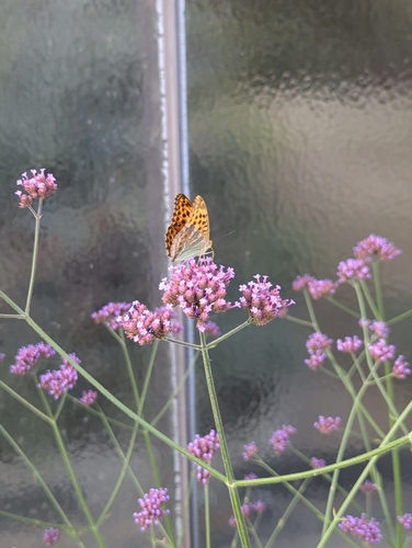
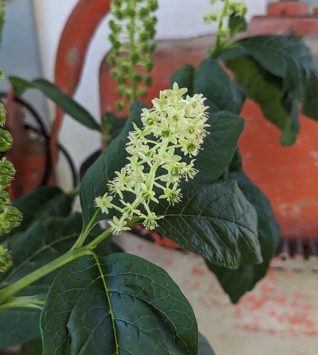
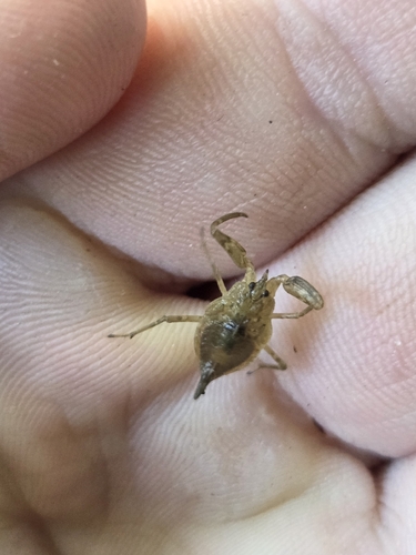
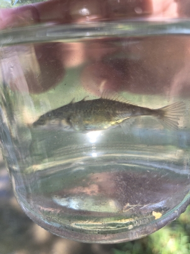
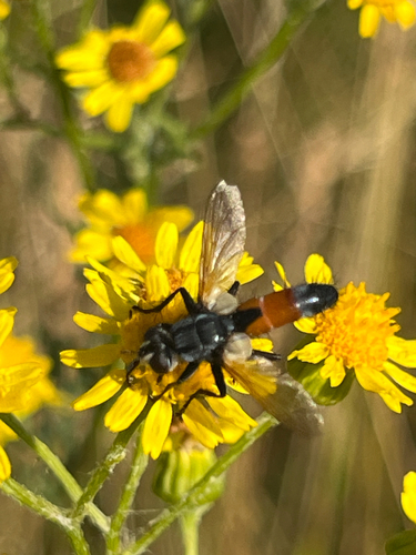
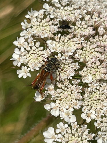
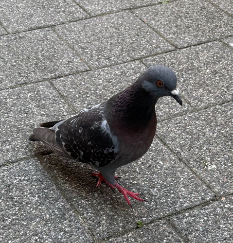
Research-grade observations from iNaturalist (within ~15 mi).
Events
Notable, recurring, and historical events associated with Karlsruhe, sourced from Wikidata.
- 24rd Goulash Programming NightsJun 4, 2026recurring event edition
24th iteration of the Goulash Programming Nights
- Q113505469Jan 1, 2022planned event
- Q133092423Sep 30, 2015recurring event edition
- Bambi Award 1998Nov 7, 1998award ceremony
- Q133092347Oct 1, 1990recurring event edition
- FDP-Bundesparteitag 1983Nov 18, 1983planned event
- Bambi Award 1964Apr 19, 1964award ceremony
- Bambi Award 1963Apr 28, 1963award ceremony
- Bambi Award 1962May 13, 1962award ceremony
- Bambi Award 1961Apr 23, 1961award ceremony
- Bambi Award 1960Mar 27, 1960award ceremony
- Bambi Award 1959Mar 15, 1959award ceremony
- Bambi Award 1958Mar 16, 1958award ceremony
- Bambi Award 1957Mar 17, 1957award ceremony
- Bambi Award 1956Mar 18, 1956award ceremony
- Bambi Award 1955Mar 6, 1955award ceremony
- Q133092236Sep 18, 1936recurring event edition
- Q133092173Sep 14, 1907recurring event edition
- 4th International Conference of the Red CrossJan 1, 1887recurring event edition
1887 international conference in Karlsruhe
Source: Wikidata (CC0).
Gallery
Geotagged photos within ~6 miles of Karlsruhe, from Wikimedia Commons contributors.
.jpg)
_4.jpeg)


.jpg)


.jpg)

.jpg)
.jpg)
.jpg)
.jpg)


.jpg)
.jpg)
.jpg)
.jpg)
Photos via Wikimedia Commons — see each image page for license & attribution.
Official Identifiers
Destatis — German Federal Statistical Office
- AGS
- 08212000
- Population (Wikidata)
- 309,964
- Wikidata
- Q1040
Amtlicher Gemeindeschlüssel (AGS) via Wikidata P439
Sources
- • Wikipedia
- • Wikimedia Commons
- • Wikidata
- • Open-Meteo Air Quality (CAMS)
- • USGS Earthquake Catalog (global feed)
- • GBIF (Global Biodiversity Information Facility)
- • iNaturalist
- • Open-Meteo / sunrise-sunset.org
- • Wikipedia Pageviews API
- • Open Library
- • Wikidata SPARQL (CC0) — population, area, elevation, inception, head of government, Commons image
- • Destatis — German Federal Statistical Office — Amtlicher Gemeindeschlüssel (AGS) via Wikidata P439