Browse / Germany / Baden-Württemberg / Kehl
Kehl
Baden-Württembergtown

Kehl
Total population
33,991
Demographic figures from Destatis. Overview below cites Wikipedia and may reference a different year.
City facts
Sister cities
Facts from Wikidata (CC0).
Overview
Kehl is a city with around 38,000 inhabitants in the southwestern German state of Baden-Württemberg. It lies in the region of Baden on the Rhine River, at the confluence with the smaller Kinzig River, directly opposite the French and Alsatian city of Strasbourg. It is the third-largest city of the Ortenaukreis after Offenburg and Lahr/Schwarzwald.
Read more on WikipediaHistory & geography
History
The village of Kehl was first mentioned in 1038. In 1338, the first permanent bridge between Kehl and Strasbourg was completed. In 1678, the city was taken over by France, as it was considered to be part of the defense system of Strasbourg. Hence the village was transformed into a fortress in 1683 by the French architect Vauban. In 1681, the Imperial City of Strasbourg, a territory of the Holy Roman Empire that included Kehl, was annexed by Louis XIV, King of France. This annexation was recognized by the Treaty of Ryswick in 1697, but all right-bank territories were restored to the Empire, During World War II Kehl was located in the so-called "Red Zone" on the western wall, which was cleared when the war broke out: in the night from 3 to 4 September 1939, the population was evacuated to the Black Forest by special trains and was only allowed to return after German troops occupied France. On November 10, 1938, the Jewish synagogue of Kehl was broken into by Kehl supporters of the SS and members of the Gestapo and all ritual objects were destroyed. All Jewish men from Kehl and the surrounding area were taken to the city hall, abused and then deported to the Dachau. After this night, the Jewish community had to sell the synagogue to the city, after which it was demolished in 1939. Kehl then became a suburb of Strasbourg. This status was retained even after the war. Kehl was released in accordance with the Washington Agreement on the Clearance of the City of Kehl by France from April 8, 1949, in 42 partial releases from July 29, 1949, to April 8, 1953. At that time (1945 to 1953) Sondheim was an independent municipality, which was then reunited with the city of Kehl. The city and the entire district of Kehl then belonged to the administrative district of South Baden…
Excerpted from the corresponding Wikipedia article (CC BY-SA).
Geography
Coordinates & boundaries from the US Census TIGER/Line shapefiles.
Climate
10-year averages from ERA5 reanalysis (Open-Meteo).
Air quality
Walkability
Amenities nearby
Wildlife & biodiversity
Most-observed species
- Great TitParus major Linnaeus, 1758 · Aves2,136
- Eurasian BlackbirdTurdus merula Linnaeus, 1758 · Aves2,097
- Carrion CrowCorvus corone Linnaeus, 1758 · Aves1,940
- Common ChaffinchFringilla coelebs Linnaeus, 1758 · Aves1,638
- House SparrowPasser domesticus (Linnaeus, 1758) · Aves1,625
- Eurasian Blue TitCyanistes caeruleus (Linnaeus, 1758) · Aves1,617
- Common Wood-PigeonColumba palumbus Linnaeus, 1758 · Aves1,527
- Mute SwanCygnus olor (J.F.Gmelin, 1789) · Aves1,386
Citizen-science & research observations from the Global Biodiversity Information Facility (GBIF).
Earthquake history
Most recent
- M 3.5 — 2024-06-271 km SSW of Todtmoos, Germany
- M 3.4 — 2022-10-16Baden-Wurttemberg, Germany
- M 4 — 2022-07-092 km NNE of Grosselfingen, Germany
- M 4.1 — 2021-06-262 km SE of Hœrdt, France
- M 3.1 — 2018-05-042 km W of Schliengen, Germany
- M 2.7 — 2008-12-251 km NNW of Blodelsheim, France
Events from the USGS Earthquake Catalog (global) (FDSN Event Web Service).
Photos
Sights & places nearby
Notable people from here


People born within ~10 km, from Wikidata (CC0). Click any name for their Wikipedia article.
Nearby places in Baden-Württemberg
Geography & sun
Elevation, sunrise/sunset and daylight from Open-Meteo. Solar climatology from NASA POWER.
Nearby airports
Public attention
Pageview totals from the Wikimedia Pageviews API.
Books about Kehl
Search results from Open Library.
Recent natural events nearby
Ground air-quality sensors
Recently spotted species
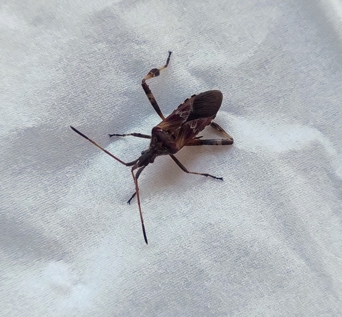
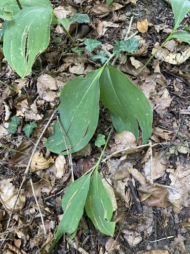
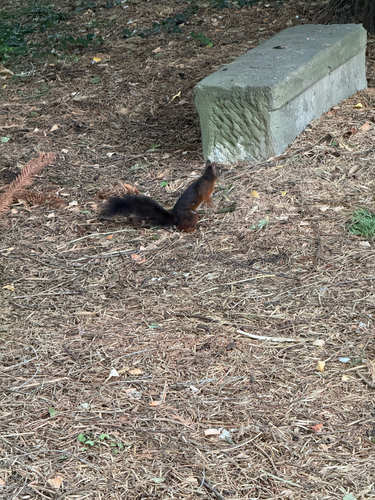
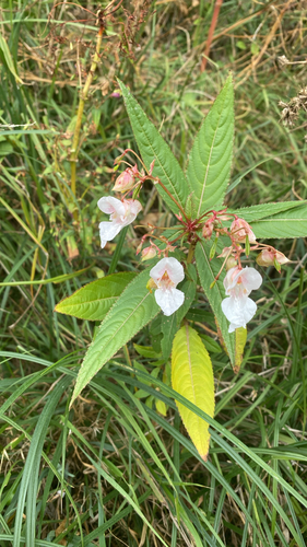
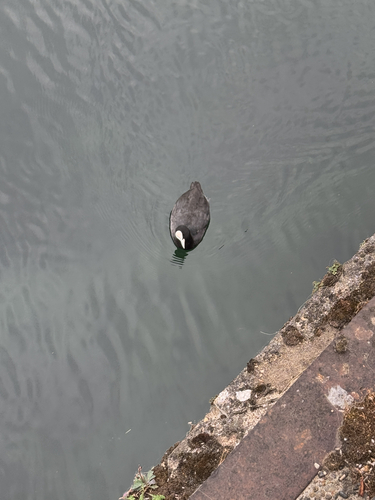
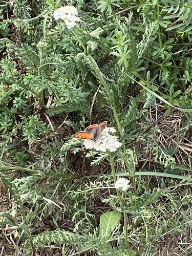
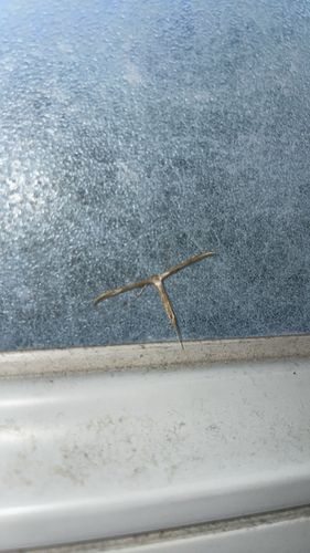
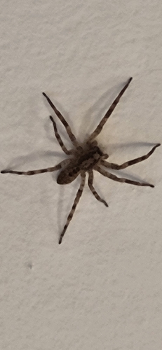
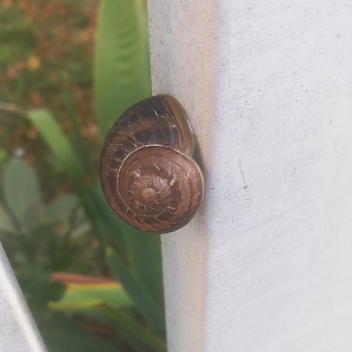
Research-grade observations from iNaturalist (within ~15 mi).
Events
Gallery
Geotagged photos within ~6 miles of Kehl, from Wikimedia Commons contributors.
.jpg) 0 mi
0 mi 0 mi
0 mi 0 mi
0 mi.jpg) 0 mi
0 mi.jpg) 0 mi
0 mi.jpg) 0 mi
0 mi.jpg) 0 mi
0 mi.jpg) 0 mi
0 mi 0 mi
0 mi.jpg) 0 mi
0 mi.jpg) 0 mi
0 mi.jpg) 0 mi
0 mi 0 mi
0 mi 0 mi
0 mi.jpg) 0 mi
0 mi.jpg) 0 mi
0 mi 0 mi
0 mi 0 mi
0 mi 0 mi
0 mi.jpg) 0 mi
0 mi.jpg) 0 mi
0 mi 0 mi
0 mi 0.1 mi
 0.1 mi
Photos via Wikimedia Commons — see each image page for license & attribution.
Official Identifiers
Destatis — German Federal Statistical Office
- AGS
- 08317057
- Population (Wikidata)
- 38,721
- Wikidata
- Q15979
Amtlicher Gemeindeschlüssel (AGS) via Wikidata P439
Sources
- • Wikipedia
- • Open-Meteo (ERA5 reanalysis)
- • Wikimedia Commons
- • Wikidata
- • USGS Earthquake Catalog (global feed)
- • GBIF (Global Biodiversity Information Facility)
- • iNaturalist
- • Open-Meteo / sunrise-sunset.org
- • Wikipedia Pageviews API
- • Open Library
- • Wikidata SPARQL (CC0) — population, area, elevation, inception, head of government, Commons image
- • Destatis — German Federal Statistical Office — Amtlicher Gemeindeschlüssel (AGS) via Wikidata P439