Browse / Germany / Bayern / Kemmern
Kemmern
Bayernvillage

Kemmern
Total population
2,577
Air quality index
Demographic figures from Destatis. Overview below cites Wikipedia and may reference a different year.
City facts
Facts from Wikidata (CC0).
Overview
Kemmern is a municipality in the Upper Franconian district of Bamberg in Bavaria, southern Germany.
Read more on WikipediaHistory & geography
History
Kemmern's settlement history is very old and reaches far back into the first millennium BC, as shown by the origins of the Helenenkapelle (chapel) on the Semberg, which was a worshipping place as far back as Celtic times. In the Early Middle Ages, the border between the Germanic- and Slavic-settled areas ran through what is now known as Kemmern. Bearing witness to the Germanic-Frankish presence are the Germanic townsites – now forsaken – of Dertheim and Schiring. The earlier Bürg may have had Slavic beginnings as an important refuge and worshipping place for the Main Wends. The first time that Kemmern was mentioned in writing was in a document from 26 October 1017 AD as Camerin in the Radenzgau (a county roughly corresponding to today's Upper Franconia). In this document, Emperor Heinrich II acknowledges an exchange agreement whereby, along with Erlangen and Forchheim also, among other things, four fishermen at Kemmern were transferred by Bishop Heinrich of Würzburg to Bishop Eberhard of Bamberg. In the centuries that followed up until Secularization in 1803, Kemmern remained an Obleidorf (from Mediaeval Latin oblaia, an old term for things donated to spiritual institutions or monasteries; Dorf is "village" in German) of the Bamberg Cathedral Chapter, but it nevertheless had at its disposal quite early on a definite measure of autonomy. So Kemmern could deal with its local business under a regulation, the village charter, which required no lordly sanction. For its protection, Kemmern had at its disposal a water-filled moat and three gatehouses. In the German Peasants' War in 1525, Kemmerners actively fought on the rebels' sides. In the winter of 1631-1632, Kemmern was beset by Swedish troops. How much suffering the Thirty Years' War brought Kemmern can be seen in…
Geography
The municipality of Kemmern is situated at an elevation of approximately 245 meters on the Main River, seven kilometers north of Bamberg at the foot of the Haßberge range. It belongs to the Upper Franconia-West region in the Upper Main Valley. Kemmern is nestled in an historic cultural landscape with a path system from the High Middle Ages. Many hiking and cycling paths connect Kemmern to places of interest to visitors (such as the Main Valley, the Haßberge, the Steigerwald [forest], the "Franconian Switzerland" and the world heritage city of Bamberg). Although the municipality is not beset with heavy through traffic, the residential municipality of Kemmern is connected to the long-distance road network (Bundesstraßen 4 and 173). The municipality has one of the traditional rural land units, known in German as Gemarkungen, also named Kemmern (it is traditional for a Gemarkung to be named after a town or village lying nearby).
Excerpted from the corresponding Wikipedia article (CC BY-SA).
Geography
Coordinates & boundaries from the US Census TIGER/Line shapefiles.
Climate
10-year averages from ERA5 reanalysis (Open-Meteo).
Air quality
Current readings from Open-Meteo Air Quality API (Copernicus CAMS European reanalysis).
Walkability
Amenities nearby
Wildlife & biodiversity
Most-observed species
- Eurasian BlackbirdTurdus merula Linnaeus, 1758 · Aves829
- Great TitParus major Linnaeus, 1758 · Aves755
- MallardAnas platyrhynchos Linnaeus, 1758 · Aves727
- Eurasian Blue TitCyanistes caeruleus (Linnaeus, 1758) · Aves692
- Carrion CrowCorvus corone Linnaeus, 1758 · Aves653
- Common Wood-PigeonColumba palumbus Linnaeus, 1758 · Aves643
- Gray/Purple HeronArdea cinerea Linnaeus, 1758 · Aves582
- European RobinErithacus rubecula (Linnaeus, 1758) · Aves544
Citizen-science & research observations from the Global Biodiversity Information Facility (GBIF).
Earthquake history
Most recent
- M 3.4 — 2001-07-023 km E of Bad Bocklet, Germany
Events from the USGS Earthquake Catalog (global) (FDSN Event Web Service).
Photos
Sights & places nearby
Notable people from here


People born within ~10 km, from Wikidata (CC0). Click any name for their Wikipedia article.
Nearby places in Bayern
- Dörfleins1.7 mi away · pop. 1,400
- Baunach2.4 mi away · pop. 4,013
- Wernsdorf8.8 mi away · pop. 480
- Rattelshof8.9 mi away
- Paßmühle r. d. Baches9.9 mi away
- Seigendorf11.2 mi away · pop. 775
- Sambach12 mi away · pop. 590
- Oberndorf12.3 mi away · pop. 89
- Stolzenroth13.6 mi away · pop. 58
- Lahm14.6 mi away
- Schirnsdorf15.1 mi away
- Klosterlangheim15.2 mi away · pop. 380
Geography & sun
Nearby airports
Public attention
Books about this place
Recent natural events nearby
Ground air-quality sensors
Recently spotted species
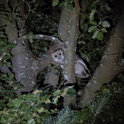

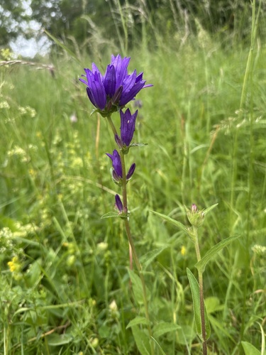
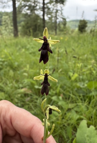
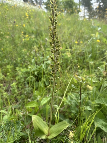

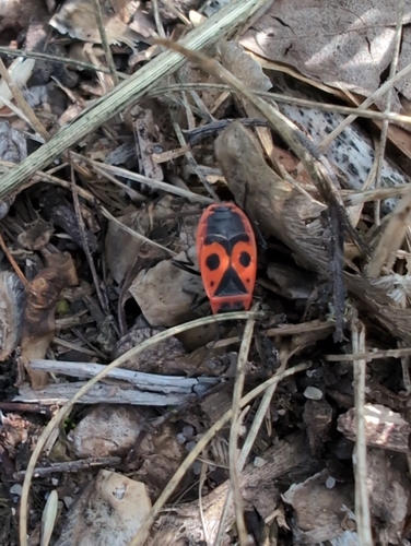


Research-grade observations from iNaturalist (within ~15 mi).
Events
Gallery
Official Identifiers
Destatis — German Federal Statistical Office
- AGS
- 09471150
- Population (Wikidata)
- 2,545
- Wikidata
- Q529400
Amtlicher Gemeindeschlüssel (AGS) via Wikidata P439
Sources
- • Wikipedia
- • Open-Meteo (ERA5 reanalysis)
- • Wikidata
- • Open-Meteo Air Quality (CAMS)
- • USGS Earthquake Catalog (global feed)
- • GBIF (Global Biodiversity Information Facility)
- • iNaturalist
- • Destatis — German Federal Statistical Office — Amtlicher Gemeindeschlüssel (AGS) via Wikidata P439