Browse / Germany / Bayern / Kemnath
Kemnath
Bayerntown

Kemnath
Total population
4,000
Air quality index
Demographic figures from Destatis. Overview below cites Wikipedia and may reference a different year.
City facts
Sister cities
Facts from Wikidata (CC0).
Overview
Kemnath is a small town in the district of Tirschenreuth, in Bavaria, Germany. It is situated near the Fichtel Mountains, 24 km southeast of Bayreuth.
Read more on WikipediaHistory & geography
History
Kemnath was first referenced in historical documents on 6 July 1008 by the Holy Roman Emperor Henry II when he donated Keminata to the Diocese of Bamberg. In 2008, Kemnath celebrated its 1000th anniversary with a series of special events throughout the town culminating in a major celebration in August 2008.
Geography
The town is in the foothills of the Fichtel Mountains of northeast Bavaria and is approximately 55 km from the Czech border at Mähring. It is located in a valley formed by three streams, the Mühlbach, Flötzbach, and Schirnitzbach. The Steinwald Nature Park abuts the edge of the town as well and stretches from Kemnath to the Czech border. The town's motto is "das Tor zur Oberpfalz," which translates into English as "The Door to the Upper Palatinate."
Excerpted from the corresponding Wikipedia article (CC BY-SA).
Geography
Coordinates & boundaries from the US Census TIGER/Line shapefiles.
Climate
Air quality
Current readings from Open-Meteo Air Quality API (Copernicus CAMS European reanalysis).
Walkability
Amenities nearby
Wildlife & biodiversity
Most-observed species
- Great TitParus major Linnaeus, 1758 · Aves367
- Eurasian BlackbirdTurdus merula Linnaeus, 1758 · Aves354
- Eurasian Blue TitCyanistes caeruleus (Linnaeus, 1758) · Aves352
- Great Spotted WoodpeckerDendrocopos major (Linnaeus, 1758) · Aves298
- Common ChaffinchFringilla coelebs Linnaeus, 1758 · Aves255
- European RobinErithacus rubecula (Linnaeus, 1758) · Aves243
- Eurasian JayGarrulus glandarius (Linnaeus, 1758) · Aves240
- Eurasian NuthatchSitta europaea Linnaeus, 1758 · Aves233
Citizen-science & research observations from the Global Biodiversity Information Facility (GBIF).
Earthquake history
Most recent
- M 3.2 — 2018-05-222 km ENE of Luby, Czechia
- M 4.1 — 2018-05-212 km SSE of Erlbach, Germany
- M 3.8 — 2014-05-314 km NE of Skalná, Czechia
- M 4 — 2011-09-045 km WSW of Habartov, Czechia
- M 2.9 — 2008-11-234 km SW of Oloví, Czechia
- M 2.9 — 2008-10-313 km NW of Zwota, Germany
Events from the USGS Earthquake Catalog (global) (FDSN Event Web Service).
Photos
Sights & places nearby
Notable people from here


People born within ~10 km, from Wikidata (CC0). Click any name for their Wikipedia article.
Nearby places in Bayern
- Neustadt am Kulm3.9 mi away · pop. 1,318
- Pressath7.3 mi away · pop. 4,670
- Eschenbach in der Oberpfalz8.5 mi away · pop. 4,015
- Waldershof11.1 mi away · pop. 2,830
- Sand11.6 mi away
- Goldkronach13.2 mi away · pop. 3,698
- Bad Berneck15.6 mi away · pop. 3,047
- Gressenwöhr16.8 mi away
- Elbart17.8 mi away · pop. 185
- Maierhof18.8 mi away
- Reisach18.9 mi away
- Horlach18.9 mi away
Geography & sun
Elevation, sunrise/sunset and daylight from Open-Meteo. Solar climatology from NASA POWER.
Nearby airports
Public attention
Pageview totals from the Wikimedia Pageviews API.
Books about Kemnath
Search results from Open Library.
Recent natural events nearby
Ground air-quality sensors
Recently spotted species

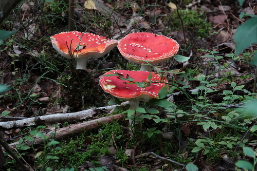
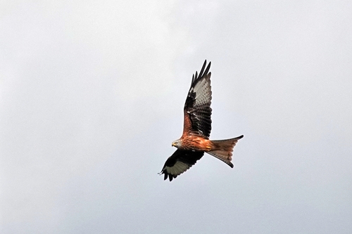
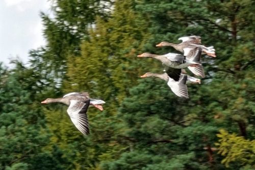
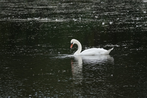
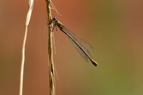
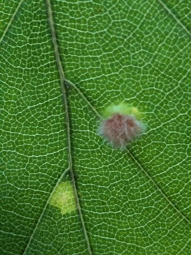
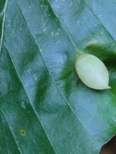
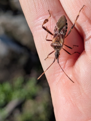
Research-grade observations from iNaturalist (within ~15 mi).
Events
Gallery
Official Identifiers
Destatis — German Federal Statistical Office
- AGS
- 09377129
- Population (Wikidata)
- 5,714
- Wikidata
- Q516262
Amtlicher Gemeindeschlüssel (AGS) via Wikidata P439
Sources
- • Wikipedia
- • Wikidata
- • Open-Meteo Air Quality (CAMS)
- • USGS Earthquake Catalog (global feed)
- • GBIF (Global Biodiversity Information Facility)
- • iNaturalist
- • Open-Meteo / sunrise-sunset.org
- • Wikipedia Pageviews API
- • Open Library
- • Destatis — German Federal Statistical Office — Amtlicher Gemeindeschlüssel (AGS) via Wikidata P439