Browse / Germany / Baden-Württemberg / Kirchardt
Kirchardt
Baden-Württembergvillage

Kirchardt
Total population
5,536
Air quality index
Demographic figures from Destatis. Overview below cites Wikipedia and may reference a different year.
City facts
Facts from Wikidata (CC0).
Overview
Kirchardt is a town in the district of Heilbronn in Baden-Württemberg, Germany.
Read more on WikipediaHistory & geography
History
The first signs of human activity in the area date from the Bronze Age, but the earliest settlement to be detected so far was Celtic, from the sixth century B.C.E. From 90 to 260 C.E., the occupying Romans constructed streets and buildings in various parts of civitas alisinensis (the area which would later become Elsenzgau) to support the Neckar-Odenwald limes. A villa rustica from that era was uncovered in Kirchardt in 1832, as well as a farmstead with a deep well. An important Roman road ran through what is now Berwangen, where a Jupiter Column was also found. With the withdrawal of the Romans from the east of Rhine and the concurrent arrival of the Alemanni, the buildings crumbled completely. Kirchardt and its constituent communities, like many cities and towns in Northern Württemberg and North Baden, was first mentioned by name in the Codex Aureus of Lorsch in 791. A nun by the name of Egilrat recorded the transfer of a farm with associated land in villa Kyrih-Hart to the ownership of Lorsch Abbey. The name is a unique one for an uninhabited area, and means perhaps "church in the wood" or "forest belonging to a church", but more likely indicates "the forest where the red kites live". The first mentions of the other two communities in modern-day Kirchardt also occur in the codex, both in connection with donations to the abbey, Berwangen being recorded in 793, and Bockschaft in 829. The appellation villa denoted that Kirchardt was then a small community not long settled. As the earliest settled areas in Kirchardt lie on the old northern boundary with the district of Berwangen as well as the source of the Birkenbach stream, it is likely that Kirchardt was settled from the older and formerly more significant Berwangen. In the Early Middle Ages there was a road (then…
Geography
Kirchardt is in the north-west of Heilbronn and belongs to the outskirts of the Stuttgart Metropolitan Region. Starting in the north and proceeding in a clockwise direction, the neighbouring towns and cities of Kirchardt are Bad Rappenau, Massenbachhausen, Gemmingen, Eppingen, Ittlingen (all in the Heilbronn region) and Sinsheim (in the Rhein-Neckar region). Kirchardt is part of a unified community authority which also consists of Bad Rappenau and Siegelsbach. The town of Kirchardt has approximately 5,500 inhabitants, of which 3,700 live in Kirchardt itself, with 1,400 in Berwangen and 400 people in Bockschaft.
Excerpted from the corresponding Wikipedia article (CC BY-SA).
Geography
Coordinates & boundaries from the US Census TIGER/Line shapefiles.
Climate
10-year averages from ERA5 reanalysis (Open-Meteo).
Air quality
Current readings from Open-Meteo Air Quality API (Copernicus CAMS European reanalysis).
Walkability
Amenities nearby
Wildlife & biodiversity
Most-observed species
- Zoropsid spiderZoropsis spinimana (Dufour, 1820) · Arachnida1,718
- Common BuzzardButeo buteo (Linnaeus, 1758) · Aves1,301
- Eurasian BlackbirdTurdus merula Linnaeus, 1758 · Aves1,270
- Great TitParus major Linnaeus, 1758 · Aves1,240
- Carrion CrowCorvus corone Linnaeus, 1758 · Aves1,111
- Eurasian Blue TitCyanistes caeruleus (Linnaeus, 1758) · Aves1,012
- Eurasian KestrelFalco tinnunculus Linnaeus, 1758 · Aves957
- Eurasian MagpiePica pica (Linnaeus, 1758) · Aves938
Citizen-science & research observations from the Global Biodiversity Information Facility (GBIF).
Earthquake history
Most recent
- M 3.4 — 2022-10-16Baden-Wurttemberg, Germany
- M 4 — 2022-07-092 km NNE of Grosselfingen, Germany
- M 3.6 — 2014-05-172 km ESE of Pfungstadt, Germany
- M 2.5 — 2008-12-122 km ESE of Nehren, Germany
- M 2.8 — 2008-11-251 km S of Steinmauern, Germany
- M 2.7 — 2008-07-091 km WSW of Dußlingen, Germany
Events from the USGS Earthquake Catalog (global) (FDSN Event Web Service).
Photos
Sights & places nearby
Notable people from here
Geography & sun
Elevation, sunrise/sunset and daylight from Open-Meteo. Solar climatology from NASA POWER.
Nearby airports
Public attention
Pageview totals from the Wikimedia Pageviews API.
Books about this place
Recent natural events nearby
Ground air-quality sensors
Recently spotted species
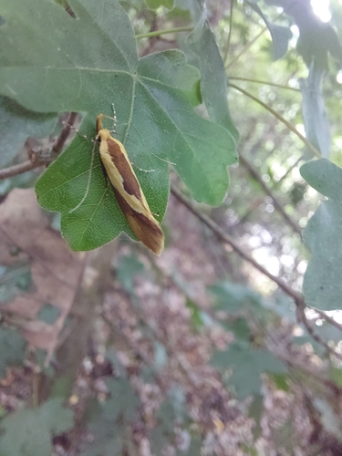
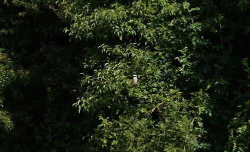


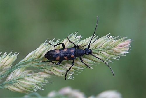

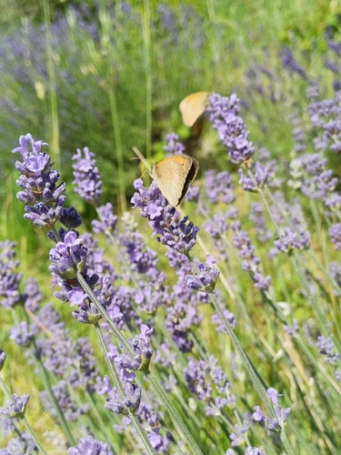
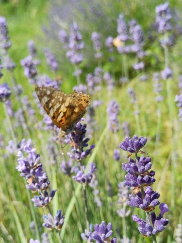
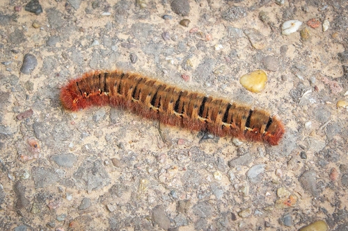
Research-grade observations from iNaturalist (within ~15 mi).
Events
Gallery
Geotagged photos within ~6 miles of Kirchardt, from Wikimedia Commons contributors.
.png) 0 mi
0 mi.png) 0 mi
0 mi 0.2 mi
 0.2 mi
 0.2 mi
 0.6 mi
 0.6 mi
 0.6 mi
 0.6 mi
 0.6 mi
 0.6 mi
.png) 0.6 mi
0.6 mi.png) 0.6 mi
0.6 mi.png) 0.6 mi
0.6 mi.png) 0.6 mi
0.6 mi.png) 0.6 mi
0.6 mi.png) 0.6 mi
0.6 mi.png) 0.6 mi
0.6 mi.png) 0.9 mi
0.9 mi.png) 0.9 mi
0.9 mi.png) 0.9 mi
0.9 mi.png) 0.9 mi
0.9 mi.png) 0.9 mi
0.9 mi.png) 0.9 mi
0.9 miPhotos via Wikimedia Commons — see each image page for license & attribution.
Official Identifiers
Destatis — German Federal Statistical Office
- AGS
- 08125049
- Population (Wikidata)
- 6,068
- Wikidata
- Q539754
Amtlicher Gemeindeschlüssel (AGS) via Wikidata P439
Sources
- • Wikipedia
- • Open-Meteo (ERA5 reanalysis)
- • Wikimedia Commons
- • Wikidata
- • Open-Meteo Air Quality (CAMS)
- • USGS Earthquake Catalog (global feed)
- • GBIF (Global Biodiversity Information Facility)
- • iNaturalist
- • Open-Elevation
- • Open-Meteo / sunrise-sunset.org
- • Wikipedia Pageviews API
- • Wikidata SPARQL (CC0) — population, area, elevation, inception, head of government, Commons image
- • Destatis — German Federal Statistical Office — Amtlicher Gemeindeschlüssel (AGS) via Wikidata P439