Browse / Germany / Brandenburg / Kleinmachnow
Kleinmachnow
Brandenburgtown

Kleinmachnow
Total population
19,777
Demographic figures from Destatis. Overview below cites Wikipedia and may reference a different year.
City facts
Sister cities
Facts from Wikidata (CC0).
Overview
Kleinmachnow is a municipality in the Potsdam-Mittelmark district, in Brandenburg, Germany. It is situated south-west of the borough of Steglitz-Zehlendorf and east of Potsdam.
Read more on WikipediaHistory & geography
History
Kleinmachnow arose at the former Bäke creek, today replaced by the Teltow Canal built in 1906. Parvo Machenow was first mentioned in the 1375 land registry (Landbuch) of Emperor Charles IV, then also Brandenburg Elector. In medieval times the ford was controlled by a castle, recently held by the Hake noble family. Together with the canal the Kleinmachnow lock was erected, soon becoming a landmark. From the early 20th century, the former village developed to an affluent suburb of Berlin. In 1937 Wilhelm Ohnesorge, minister of the Reichspost, acquired the Hakeburg mansion as his residence and established a large research facility of communications-electronics here. In World War II Kleinmachnow was the site of a labour camp with about 5,000 inmates, including a subcamp of Sachsenhausen. On the night of 2–3 December 1943, a Lancaster plane of the Royal Australian Air Force (flight LM 316) was shot down over Kleinmachnow, one of those killed being the well-known Norwegian writer and poet Nordahl Grieg, at the time serving as a war correspondent. (A memorial stone was unveiled at the site () in November 2003.) In 1946, the Socialist Unity Party of Germany (SED) seized the Hakeburg, which hosted the party's academy in the following years. From 1961 to 1989 the municipality was girded by the Berlin Wall on three sides and the motorway near Dreilinden (today Bundesautobahn 115) was the site of a major border crossing, counterpart of the Allied Checkpoint Bravo in West Berlin. Since German reunification Kleinmachnow has seen a major increase of population, while the restitution of numerous plots in favour of those owners who had fled from the GDR led to fierce conflicts.
Geography
Kleinmachnow is bordered by the Teltow Canal in the south and by the city boundary of Berlin in the north, west and east, forming a kind of indentation in the district of Steglitz-Zehlendorf, which is a neighbouring borough. The municipality encompasses the settlement of Dreilinden. During the Cold War period, the area could only be accessed from Teltow and Stahnsdorf via three bridges across the Teltow Canal, and access from Berlin-Zehlendorf was once again granted after 1990. Since 1996, Kleinmachnow has a separate motorway connection to the German federal motorway 115 in the west. The centre of Berlin is situated north-east of the town, and Potsdam east of the town.
Excerpted from the corresponding Wikipedia article (CC BY-SA).
Geography
Coordinates & boundaries from the US Census TIGER/Line shapefiles.
Climate
Air quality
Walkability
Amenities nearby
Wildlife & biodiversity
Earthquake history
Photos
Sights & places nearby
Notable people from here


People born within ~10 km, from Wikidata (CC0). Click any name for their Wikipedia article.
Nearby places in Brandenburg
- Kleinbeeren5.4 mi away
- Philippsthal6.2 mi away · pop. 190
- Ahrensdorf6.4 mi away · pop. 1,043
- Groß Glienicke6.5 mi away
- Genshagen7.4 mi away · pop. 1,365
- Fahlhorst7.5 mi away
- Siethen8.5 mi away · pop. 791
- Mahlow8.6 mi away
- Löwenbruch8.7 mi away · pop. 275
- Wilhelmshorst8.7 mi away · pop. 3,199
- Blankenfelde9 mi away
- Jütchendorf9.4 mi away · pop. 107
Geography & sun
Elevation, sunrise/sunset and daylight from Open-Meteo. Solar climatology from NASA POWER.
Nearby airports
Public attention
Pageview totals from the Wikimedia Pageviews API.
Books about Kleinmachnow

Search results from Open Library.
Recent natural events nearby
Ground air-quality sensors
Recently spotted species
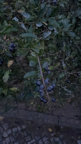
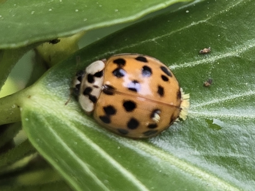
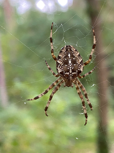
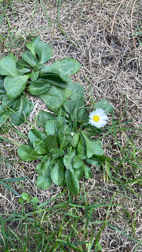
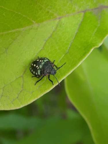
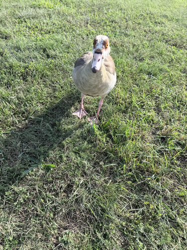
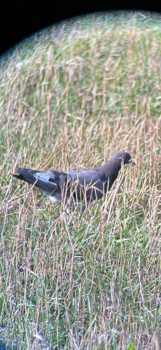
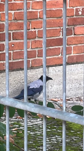
Research-grade observations from iNaturalist (within ~15 mi).
Events
Gallery
Official Identifiers
Destatis — German Federal Statistical Office
- AGS
- 12069304
- Population (Wikidata)
- 20,152
- Wikidata
- Q104192
Amtlicher Gemeindeschlüssel (AGS) via Wikidata P439
Sources
- • Wikipedia
- • Wikidata
- • iNaturalist
- • Open-Elevation
- • Open-Meteo / sunrise-sunset.org
- • Wikipedia Pageviews API
- • Open Library
- • Wikidata SPARQL (CC0) — population, area, elevation, inception, head of government, Commons image
- • Destatis — German Federal Statistical Office — Amtlicher Gemeindeschlüssel (AGS) via Wikidata P439