Browse / Germany / Bayern / Krailling
Krailling
Bayernvillage

Krailling
Total population
7,515
Air quality index
Demographic figures from Destatis. Overview below cites Wikipedia and may reference a different year.
City facts
Facts from Wikidata (CC0).
Overview
Krailling is a municipality in the district of Starnberg in Bavaria, Germany.
Read more on WikipediaHistory & geography
History
The oldest traces of settlement documented here date from 150 to 100 BC. Several pieces of Celtic jewelry, pottery shards, and house posts were discovered on the grounds of the Linnermühle. This makes Krailling, alongside Buchendorf and Steinebach am Wörthsee, one of the few Celtic settlements south of Munich. From 200 to 300 AD, a pottery kiln and a refuse pit were also found at the site, though no Roman settlement traces were identified. Numerous artifacts, however, confirm a Bavarian (Bajuvarian) settlement along the Würm River from 600 to 900 AD. Until the late 18th century, Krailling was the seat of a Hofmark (manorial estate) ruled by the Barons of Ruffin. This Hofmark was part of the Electorate of Bavaria. The modern municipality was established in 1818 through the Municipal Edict of 1818, as part of administrative reforms in the Kingdom of Bavaria. After World War II, many refugees and expellees (German: Heimatvertriebene) settled in the district of Pentenried, which became profoundly shaped by this population group.
Geography
The municipality is located in the Munich planning region. It covers an area of . The town lies in the Würm Valley, approximately 14 kilometers north of the district capital Starnberg and four kilometers southwest of the city limits of Munich. The settlement area has merged with that of the municipality of Planegg. It also belongs to the Planegg parish and shares the same postal code. However, unlike Planegg, Krailling is part of the Starnberg district rather than the Munich district. Krailling is the northernmost town in the Starnberg district but is assigned the Munich area code (089). To the south, the settlement area transitions seamlessly into Stockdorf, a district of Gauting. The municipality comprises four administrative subdivisions (with settlement types in parentheses): * Hüll (manor estate) * Frohnloh (church village) * Krailling (church village) * Pentenried (church village) The "KIM" (Krailling Innovation Mile) business park is located in the Kreuzlinger Forst forest area. The municipality also includes the cadastral districts of Frohnloh and Krailling.
Excerpted from the corresponding Wikipedia article (CC BY-SA).
Geography
Coordinates & boundaries from the US Census TIGER/Line shapefiles.
Climate
10-year averages from ERA5 reanalysis (Open-Meteo).
Air quality
Current readings from Open-Meteo Air Quality API (Copernicus CAMS European reanalysis).
Walkability
Amenities nearby
Wildlife & biodiversity
Most-observed species
- Great TitParus major Linnaeus, 1758 · Aves9,167
- Eurasian BlackbirdTurdus merula Linnaeus, 1758 · Aves7,558
- Carrion CrowCorvus corone Linnaeus, 1758 · Aves7,555
- Eurasian Blue TitCyanistes caeruleus (Linnaeus, 1758) · Aves6,129
- MallardAnas platyrhynchos Linnaeus, 1758 · Aves5,319
- Great Spotted WoodpeckerDendrocopos major (Linnaeus, 1758) · Aves5,259
- Common ChaffinchFringilla coelebs Linnaeus, 1758 · Aves4,202
- Graylag GooseAnser anser (Linnaeus, 1758) · Aves4,056
Citizen-science & research observations from the Global Biodiversity Information Facility (GBIF).
Earthquake history
Most recent
- M 3.7 — 2021-08-161 km S of Niederau, Austria
- M 3.8 — 2019-10-224 km SE of Ebbs, Austria
- M 3.7 — 2013-08-091 km ESE of Aldrans, Austria
- M 4 — 2010-10-19Austria
- M 2.7 — 2008-09-150 km NW of Axams, Austria
- M 3.1 — 2008-09-106 km E of Ehrwald, Austria
Events from the USGS Earthquake Catalog (global) (FDSN Event Web Service).
Photos
Sights & places nearby
Notable people from here


People born within ~10 km, from Wikidata (CC0). Click any name for their Wikipedia article.
Geography & sun
Elevation, sunrise/sunset and daylight from Open-Meteo. Solar climatology from NASA POWER.
Nearby airports
Public attention
Pageview totals from the Wikimedia Pageviews API.
Books about this place
Recent natural events nearby
Ground air-quality sensors
Recently spotted species
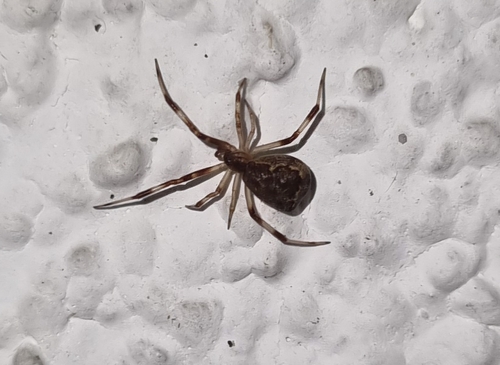
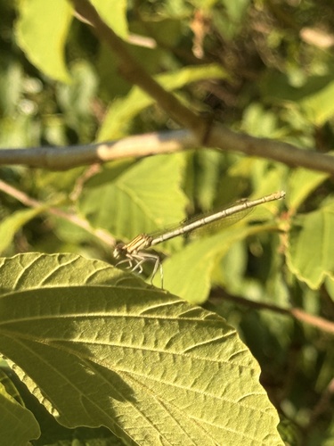
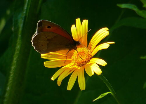
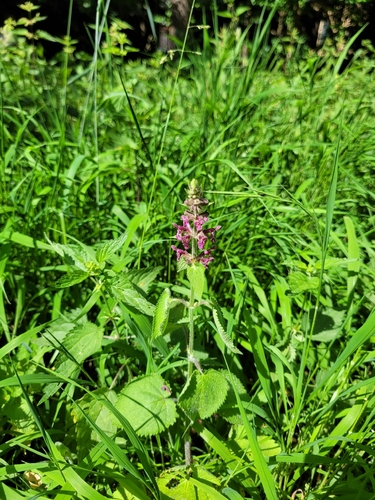
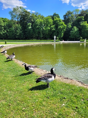
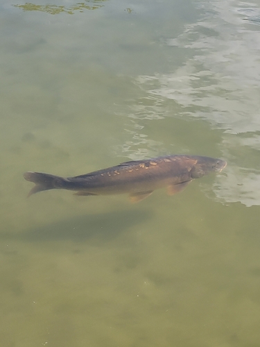
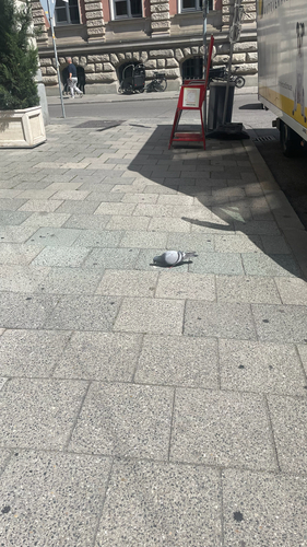
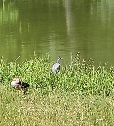
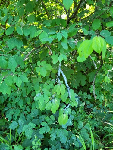
Research-grade observations from iNaturalist (within ~15 mi).
Events
Gallery
Official Identifiers
Destatis — German Federal Statistical Office
- AGS
- 09188127
- Population (Wikidata)
- 7,895
- Wikidata
- Q530780
Amtlicher Gemeindeschlüssel (AGS) via Wikidata P439
Sources
- • Wikipedia
- • Open-Meteo (ERA5 reanalysis)
- • Wikidata
- • Open-Meteo Air Quality (CAMS)
- • USGS Earthquake Catalog (global feed)
- • GBIF (Global Biodiversity Information Facility)
- • iNaturalist
- • Open-Elevation
- • Open-Meteo / sunrise-sunset.org
- • Wikipedia Pageviews API
- • Wikidata SPARQL (CC0) — population, area, elevation, inception, head of government, Commons image
- • Destatis — German Federal Statistical Office — Amtlicher Gemeindeschlüssel (AGS) via Wikidata P439