Browse / Germany / Baden-Württemberg / Kürnbach
Kürnbach
Baden-Württembergvillage

Kürnbach
Total population
2,425
Demographic figures from Destatis. Overview below cites Wikipedia and may reference a different year.
City facts
Facts from Wikidata (CC0).
Overview
Kürnbach is a municipality in the district of Karlsruhe in southwestern Baden-Württemberg. This historic wine village features half timbered houses and lies around 60 kilometers northwest of Stuttgart. The village was once owned by two states and governed by three administrations, making it a constitutional rarity in Germany. Today it is known for its Schwarzriesling, or Black Riesling, which is actually a type of Pinot Noir.
Read more on WikipediaHistory & geography
History
In the time of Charlemagne there already stood a wooden church in Kürnbach, which was later replaced by a Romanesque stone building. The oldest surviving reference to Kürnbach dates back to 1278. It is a goods list of the monastery of Weissenburg. The document indicates that Kürnbach was already in the possession of the Benedictine monastery. About 100 years later, the name of a noble family of Kürnbach appears for the first time. In 1543 Kürnbach got the market right. The homeland poet Samuel Friedrich Sauter referred to Kürnbach as "... this market town of two states, divided into Hesse and Baden…". Thus the condominium Kürnbach offers a constitutional rarity. Two-thirds of the town belonged to the county Hesse and one-third to the Duchy of Württemberg (and from 1810 to the Grand Duchy of Baden). The village was divided into two states but had no border. Nationality was assigned based on specific inhabited houses, which means that a resident's citizenship could change with the purchase of a particular house. Around 1300, two-thirds of Kürnbach became a fief of the Counts of Katzenlnbogen. Engelhard von Liebenstein pledged the other part of the village to the Duchy of Württemberg in 1320. In 1479, the Counts of Katzenlnbogen were inherited by the Landgraves of Hesse. Kürnbach now belonged two-thirds to the county Hesse and one-third to the Duchy of Württemberg, forming a condominium. Individual cultivated land was assigned to one of the two dominions but could change these as well. Therefore, there were three different administrations, pertaining respectively to Hesse, Württemberg (later Baden) and the condominium as a whole. After the fractional division of land, the Hessian proportion came to the county Hesse-Darmstadt. With the peace of Schönbrunn, the…
Geography
The historic wine village of Kürnbach, known as the Black Riesling village in the Kraichgau hill country, is one of the few communities in Germany with a history of shared governance. It is located in the northwestern Stromberg-Heuchelberg Nature Park near Zabergäu in the valley Humsterbaches. The Humsterbach was dammed as a retention basin east of the village next to Schlosswiesensee. To the west, the landscape opens up to the typical cultivated hill country of Kraichgau, while to the east a large contiguous forest area of Stromberg-Heuchelberg nature park begins. The municipality of Kürnbach includes the Aussiedlerhöfe Heiligenäcker and the estates of Humstermühle, Klostermühe, and Rohrmühle.
Excerpted from the corresponding Wikipedia article (CC BY-SA).
Geography
Coordinates & boundaries from the US Census TIGER/Line shapefiles.
Climate
10-year averages from ERA5 reanalysis (Open-Meteo).
Air quality
Walkability
Amenities nearby
Wildlife & biodiversity
Most-observed species
- Great TitParus major Linnaeus, 1758 · Aves1,959
- Eurasian BlackbirdTurdus merula Linnaeus, 1758 · Aves1,797
- Eurasian Blue TitCyanistes caeruleus (Linnaeus, 1758) · Aves1,718
- Common BuzzardButeo buteo (Linnaeus, 1758) · Aves1,696
- Carrion CrowCorvus corone Linnaeus, 1758 · Aves1,620
- Zoropsid spiderZoropsis spinimana (Dufour, 1820) · Arachnida1,471
- Common Wood-PigeonColumba palumbus Linnaeus, 1758 · Aves1,418
- Common ChaffinchFringilla coelebs Linnaeus, 1758 · Aves1,414
Citizen-science & research observations from the Global Biodiversity Information Facility (GBIF).
Earthquake history
Most recent
- M 3.4 — 2022-10-16Baden-Wurttemberg, Germany
- M 4 — 2022-07-092 km NNE of Grosselfingen, Germany
- M 4.1 — 2021-06-262 km SE of Hœrdt, France
- M 3.6 — 2014-05-172 km ESE of Pfungstadt, Germany
- M 2.5 — 2008-12-122 km ESE of Nehren, Germany
- M 2.8 — 2008-11-251 km S of Steinmauern, Germany
Events from the USGS Earthquake Catalog (global) (FDSN Event Web Service).
Photos
Sights & places nearby
Notable people from here


People born within ~10 km, from Wikidata (CC0). Click any name for their Wikipedia article.
Geography & sun
Elevation, sunrise/sunset and daylight from Open-Meteo. Solar climatology from NASA POWER.
Nearby airports
Public attention
Pageview totals from the Wikimedia Pageviews API.
Books about this place
Recent natural events nearby
Ground air-quality sensors
Recently spotted species
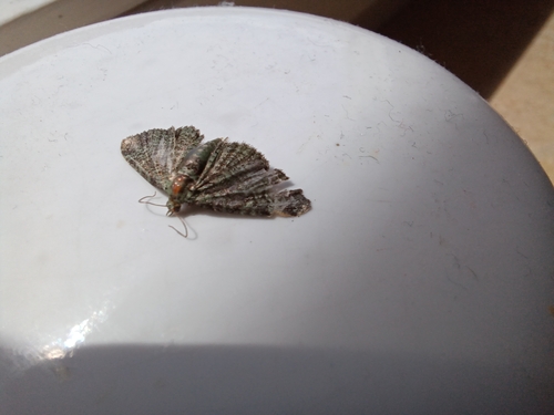
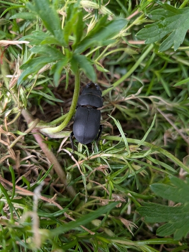
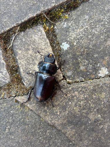
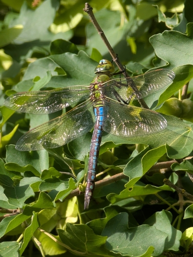
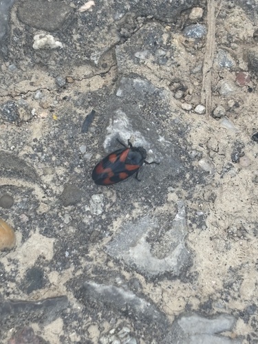
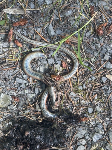
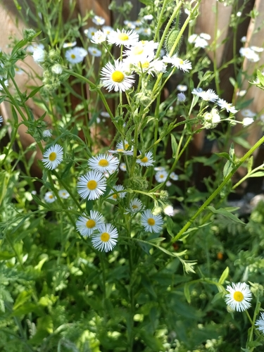
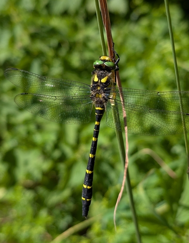
Research-grade observations from iNaturalist (within ~15 mi).
Events
Gallery
Geotagged photos within ~6 miles of Kürnbach, from Wikimedia Commons contributors.
 0 mi
0 mi.jpg) 0 mi
0 mi_-_Wirtshausschild_-_Ansicht_von_SSO_(1).jpg) 0 mi
0 mi.jpg) 0 mi
0 mi.jpg) 0.1 mi
0.1 mi 0.3 mi
 0.3 mi
 0.3 mi
.png) 0.3 mi
0.3 mi.png) 0.3 mi
0.3 mi.png) 0.3 mi
0.3 mi.png) 0.5 mi
0.5 mi.png) 0.5 mi
0.5 mi.png) 0.5 mi
0.5 mi.png) 0.5 mi
0.5 mi.png) 0.5 mi
0.5 mi.png) 0.5 mi
0.5 mi.png) 0.6 mi
0.6 mi.png) 0.6 mi
0.6 mi.png) 0.6 mi
0.6 mi.png) 0.8 mi
0.8 mi.png) 0.8 mi
0.8 mi.png) 0.8 mi
0.8 mi.png) 0.8 mi
0.8 miPhotos via Wikimedia Commons — see each image page for license & attribution.
Official Identifiers
Destatis — German Federal Statistical Office
- AGS
- 08215040
- Population (Wikidata)
- 2,380
- Wikidata
- Q542439
Amtlicher Gemeindeschlüssel (AGS) via Wikidata P439
Sources
- • Wikipedia
- • Open-Meteo (ERA5 reanalysis)
- • Wikimedia Commons
- • Wikidata
- • USGS Earthquake Catalog (global feed)
- • GBIF (Global Biodiversity Information Facility)
- • iNaturalist
- • Open-Meteo / sunrise-sunset.org
- • Wikipedia Pageviews API
- • Destatis — German Federal Statistical Office — Amtlicher Gemeindeschlüssel (AGS) via Wikidata P439