Browse / Germany / Brandenburg / Kyritz
Kyritz
Brandenburgtown

Kyritz
Total population
9,152
Demographic figures from Destatis. Overview below cites Wikipedia and may reference a different year.
City facts
Sister cities
Facts from Wikidata (CC0).
Overview
Kyritz is a town in the Ostprignitz-Ruppin district, in Brandenburg, Germany. It is situated 28 km (17 mi) west of Neuruppin and 28 km (17 mi) southeast of Pritzwalk. The town has 9,260 inhabitants (2019).
Read more on WikipediaHistory & geography
History
The oldest document mentioning the area around Kyritz as "Chorizi" was written in 948. The region was called "Prignitz". The name is derived from the Slavic word "pregynica" meaning "inaccessible woods". A castle was built here in 1148, and little by little a town developed close to the castle. In the year 1225 a Franciscan friary was established here (dissolved in 1552). The first document in which the name "Kyritz" was mentioned dates from 1232. It obtained municipal status in 1237 and got the privilege to produce its own coins. A wall around the town was built in the 14th century. Kyritz became a member of the Hanseatic League in 1359. The merchants living in Kyritz sold wheat, clothes, wood, wool, linnen and hop to other member towns of the Hanseatic League and they bought metals, spices, wine and fish from other places. Goods from Lübeck, the headquarters of the Hanseatic League, were sold duty-free in Kyritz. In 1488 the first brewery was founded in Kyritz. The beer was named "Mord und Totschlag" (Murder and Manslaughter) and it is still brewed in Neuzelle. In 1600 Count Hans Christoff von Königsmarck was born in Kötzlin, a leading Swedish general in the Thirty Years' War who is most famous for attempting to conquer Prague in 1648. In 1626, 800 citizens of Kyritz died from the bubonic plague. From 1806 to 1814 Kyritz was occupied by French soldiers. After Napoleon's defeat n 1814 the "Peace Oak" was planted in the Market Place. From 1815 to 1945, Kyritz was part of the Prussian Province of Brandenburg. From 1952 to 1990, it was part of the Bezirk Potsdam of East Germany.
Excerpted from the corresponding Wikipedia article (CC BY-SA).
Geography
Coordinates & boundaries from the US Census TIGER/Line shapefiles.
Climate
Air quality
Walkability
Amenities nearby
Wildlife & biodiversity
Most-observed species
- Eurasian BlackbirdTurdus merula Linnaeus, 1758 · Aves174
- House SparrowPasser domesticus (Linnaeus, 1758) · Aves171
- Great TitParus major Linnaeus, 1758 · Aves171
- Common CraneGrus grus (Linnaeus, 1758) · Aves166
- Eurasian Blue TitCyanistes caeruleus (Linnaeus, 1758) · Aves166
- Eurasian MagpiePica pica (Linnaeus, 1758) · Aves149
- European RobinErithacus rubecula (Linnaeus, 1758) · Aves135
- Red KiteMilvus milvus (Linnaeus, 1758) · Aves127
Citizen-science & research observations from the Global Biodiversity Information Facility (GBIF).
Earthquake history
Events from the USGS Earthquake Catalog (global) (FDSN Event Web Service).
Photos
Sights & places nearby
Notable people from here


People born within ~10 km, from Wikidata (CC0). Click any name for their Wikipedia article.
Nearby places in Brandenburg
- Zernitz Bahnhof4.2 mi away
- Königsberg8.5 mi away
- Dannenwalde8.7 mi away · pop. 394
- Grabow9.2 mi away
- Herzsprung9.3 mi away
- Glöwen13.2 mi away · pop. 1,200
- Dossow13.4 mi away · pop. 429
- Rhinow13.5 mi away · pop. 2,012
- Liebenthal13.9 mi away
- Buchholz15 mi away · pop. 255
- Viesecke16.1 mi away
- Beveringen16.2 mi away · pop. 289
Geography & sun
Elevation, sunrise/sunset and daylight from Open-Meteo. Solar climatology from NASA POWER.
Nearby airports
Public attention
Pageview totals from the Wikimedia Pageviews API.
Books about Kyritz

Search results from Open Library.
Recent natural events nearby
Ground air-quality sensors
Recently spotted species
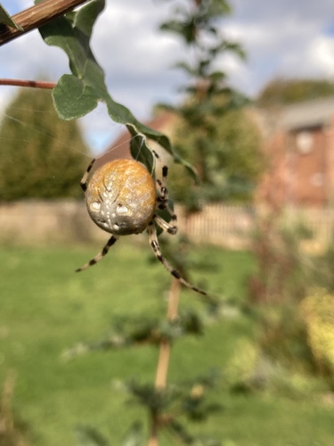
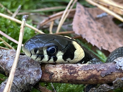
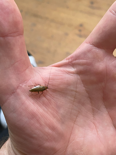
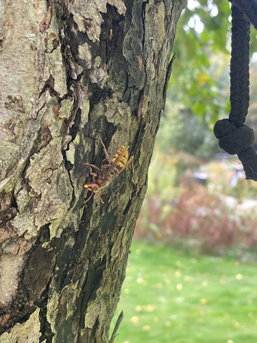
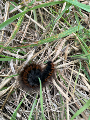
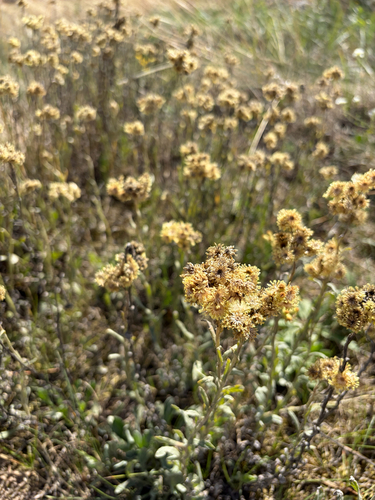
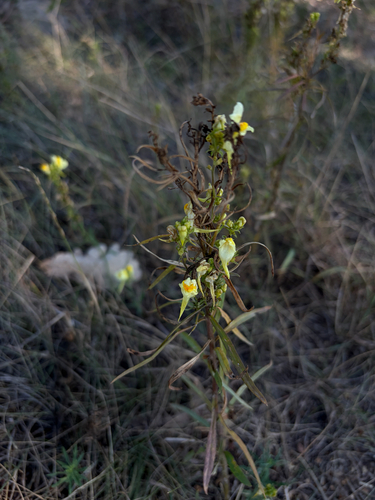
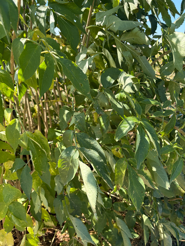
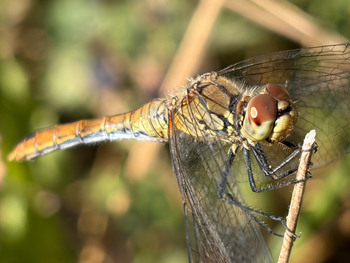
Research-grade observations from iNaturalist (within ~15 mi).
Events
Gallery
Official Identifiers
Destatis — German Federal Statistical Office
- AGS
- 12068264
- Population (Wikidata)
- 9,114
- Wikidata
- Q505160
Amtlicher Gemeindeschlüssel (AGS) via Wikidata P439
Sources
- • Wikipedia
- • Wikidata
- • USGS Earthquake Catalog (global feed)
- • GBIF (Global Biodiversity Information Facility)
- • iNaturalist
- • Open-Meteo / sunrise-sunset.org
- • Wikipedia Pageviews API
- • Open Library
- • Wikidata SPARQL (CC0) — population, area, elevation, inception, head of government, Commons image
- • Destatis — German Federal Statistical Office — Amtlicher Gemeindeschlüssel (AGS) via Wikidata P439