Browse / Germany / Bayern / Landshut
Landshut
Bayerntown

Landshut
Total population
72,404
Founded
1204
Demographic figures from Destatis. Overview below cites Wikipedia and may reference a different year.
City facts
Sister cities
Facts from Wikidata (CC0).
Overview
Landshut is a town in Bavaria, Germany, on the banks of the River Isar. Landshut is the capital of Lower Bavaria, one of the seven administrative regions of the Free State of Bavaria, and the seat of the surrounding district. With a population of more than 75,000, Landshut is the largest city in Lower Bavaria.
Read more on WikipediaHistory & geography
History
The town and Trausnitz Castle were founded in 1204 by Duke Louis I, when a settlement developed around the castle. Landshut was a Wittelsbach residence by 1231, and in 1255, when the duchy of Bavaria was split in two, Landshut also became the capital of Lower Bavaria. Duke Henry XVI was the first of the three 'rich dukes' who ruled Bayern-Landshut in the 15th century. The wedding of Duke George with the Polish Princess Royal Jadwiga Jagiellon in 1475 was celebrated in Landshut with one of the most splendid festivals of the Middle Ages (Landshut Wedding). After his death and the Landshut War of Succession, Bavaria-Landshut was reunited with Bavaria-Munich. Between 1537 and 1543, after his visit to Italy, Louis X, Duke of Bavaria built the Landshut Residence, the first Renaissance palace constructed north of the Alps. It was modeled after Palazzo Te in Mantua. William V, Duke of Bavaria ordered to upgrade Trausnitz Castle from a gothic fortification into a Renaissance complex when he lived in Landshut as crown prince for ten years until 1579. Afterwards, Landshut lost most of its importance until the University of Ingolstadt was moved to Landshut in 1800. However, in 1826 the university was transferred to Munich. During the Thirty Years' War, the city was thrice (1632, 1634 and 1648) taken and plundered by Swedish forces. Napoleon fought and won the Battle of Landshut in 1809 against an Austrian army as part of the War of the Fifth Coalition. During World War I, a prisoner of war camp existed in Landshut. American ace James Norman Hall spent his captivity at the camp. During World War II, a subcamp of Dachau concentration camp was located in the city to provide slave labour for local industry. The city was taken by US troops on 29 April 1945. The U.S. Army…
Geography
Landshut lies in the Alpine foothills. The River Isar runs through the city and splits in two in the city centre. Most of the built-up area lies on the flat terraced deposits of the river. The Isar divides the town into three areas: the northern part above the river belongs to the Isar-Danube hill country, the Mühleninsel in the city centre lies between both arms of the Isar, and the southern part below the river belongs to the Isar-Inn hill country. The southern part of the town is delimited by a chain of hills, some of which rise steeply, of which the Hofberg, where the Trausnitz Castle is located, forms the highest point in the city area at a height of 505 meters above sea level. Landshut is situated between Munich (70 kilometers southwest) and Regensburg (70 kilometers to the north). Other nearby towns are Straubing (75 km northeast), Deggendorf (75 km to the east), and Passau at the German-Austrian border (120 km to the east). The town's spread is limited to the north by Ergolding, to the northwest by Altdorf, and to the south by Kumhausen. The three smaller towns join Landshut to form a built-up area of around 100,000 people but are not incorporated into Landshut proper.
Excerpted from the corresponding Wikipedia article (CC BY-SA).
Geography
Coordinates & boundaries from the US Census TIGER/Line shapefiles.
Climate
Air quality
Walkability
Amenities nearby
Wildlife & biodiversity
Earthquake history
Photos
Sights & places nearby
Notable people from here


People born within ~10 km, from Wikidata (CC0). Click any name for their Wikipedia article.
Nearby places in Bayern
Geography & sun
Elevation, sunrise/sunset and daylight from Open-Meteo. Solar climatology from NASA POWER.
Nearby airports
Public attention
Pageview totals from the Wikimedia Pageviews API.
Books about Landshut

Search results from Open Library.
Recent natural events nearby
Ground air-quality sensors
Recently spotted species
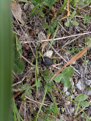
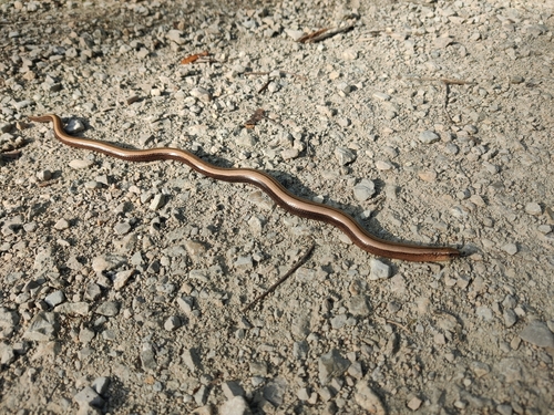

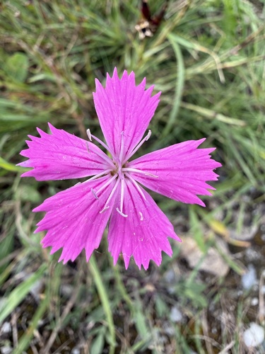
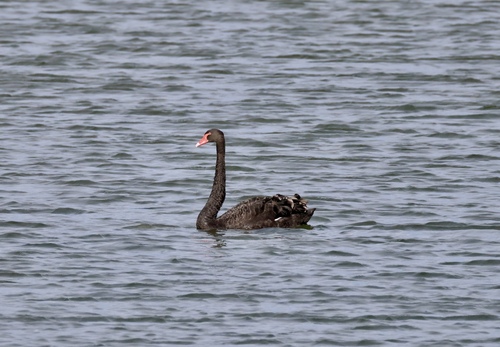
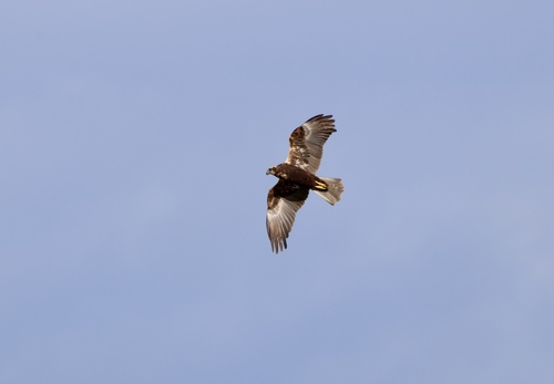
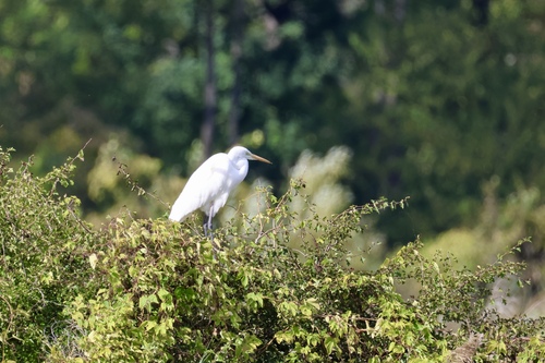

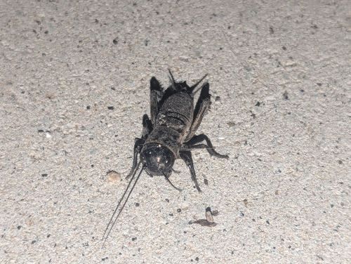
Research-grade observations from iNaturalist (within ~15 mi).
Events
Notable, recurring, and historical events associated with Landshut, sourced from Wikidata.
- Q133092245Sep 19, 1950recurring event edition
Source: Wikidata (CC0).
Gallery
Official Identifiers
Destatis — German Federal Statistical Office
- AGS
- 09261000
- Population (Wikidata)
- 75,272
- Wikidata
- Q3974
Amtlicher Gemeindeschlüssel (AGS) via Wikidata P439
Sources
- • Wikipedia
- • Wikidata
- • iNaturalist
- • Open-Meteo / sunrise-sunset.org
- • Wikipedia Pageviews API
- • Open Library
- • Wikidata SPARQL (CC0) — population, area, elevation, inception, head of government, Commons image
- • Destatis — German Federal Statistical Office — Amtlicher Gemeindeschlüssel (AGS) via Wikidata P439