Browse / Germany / Bayern / Laufach
Laufach
Bayernvillage

Laufach
Total population
5,243
Demographic figures from Destatis. Overview below cites Wikipedia and may reference a different year.
City facts
Facts from Wikidata (CC0).
Overview
Laufach is a municipality in the Aschaffenburg district in the Regierungsbezirk of Lower Franconia (Unterfranken) in Bavaria, Germany. As of 2023, the population of Laufach was 5,308.
Read more on WikipediaHistory & geography
History
In 1084, Laufach, which was originally known as Laufahe, had its first documentary mention in an obituary from Saints Peter and Alexander collegiate church in Aschaffenburg. Laufach's name came from the stream on which it was built. Over the years, the municipality's name has changed many times, from Laufache in 1182, to Loifahe in 1191, to Loupha in 1348, to Lauffach around 1528 and 1624 before settling on Laufach in the early 19th century. The Laufach valley was settled under the protection of the Counts of Rieneck, who already held the Vogtei (position of Vogt) from the Archbishopric of Mainz and the collegiate church in Aschaffenburg. On the Rieneck free court in 1380 – where Schöffen (roughly “lay jurists”) from Laufach were specifically mentioned – settlers sat as free citizens. In the mid-14th century, glassmakers were brought into service in the Spessart with special incentives. Since they had to leave the forest from Martinmas (11 November) until Easter, they sought winter dwellings in Hain and Laufach. Many of these workers settled here owing to family ties. Already by 1469, there was a mine near the "Weyber" palace (Schloss Weyber, Weyberhöfe). In Unserer lieber Frauen Teil, presumably part of the Liebesgrund, copper was mined. After the Thirty Years' War, ores were mined and smelted. In the mid-18th century, in the area of today's sporting ground, a hammer mill was built. The building of a railway in the years 1850 to 1854 had a very positive effect on the municipality's industrial development. With the railway station, an important transport link with Aschaffenburg and the whole Lower Main was created. In the course of time, the ironworks became an integrated industry in which both the mining and the processing were done, yielding a finished product.…
Geography
The municipality lies in northwest Bavaria east of Aschaffenburg. Laufach lies in the heart of the Vorspessart (range) and stretches through its outlying centre of Hain into the High Spessart. The municipality's elevation ranges from 170 to 500 m above sea level, including the peaks of Steigkoppe to the north and Steinknückl to the south. Laufach's Gemeindeteile are Frohnhofen (898 inhabitants), Hain (1,177 inhabitants) and Laufach (3,204 inhabitants).
Excerpted from the corresponding Wikipedia article (CC BY-SA).
Geography
Coordinates & boundaries from the US Census TIGER/Line shapefiles.
Climate
Air quality
Walkability
Amenities nearby
Wildlife & biodiversity
Earthquake history
Photos
Sights & places nearby
Notable people from here


People born within ~10 km, from Wikidata (CC0). Click any name for their Wikipedia article.
Nearby places in Bayern
- Goldbach5.1 mi away · pop. 9,823
- Karlstadt21.1 mi away · pop. 14,810
- Richelbach22.8 mi away · pop. 570
- Riedern24.1 mi away
- Retzbach24.6 mi away
- Amorbach25.7 mi away · pop. 4,145
- Arnstein30 mi away · pop. 8,343
- Eibelstadt37.2 mi away · pop. 2,873
- Dipbach37.7 mi away
- Westheim38.9 mi away · pop. 123
- Darstadt39 mi away
- Dettelbach41.2 mi away · pop. 6,949
Geography & sun
Elevation, sunrise/sunset and daylight from Open-Meteo. Solar climatology from NASA POWER.
Nearby airports
Public attention
Pageview totals from the Wikimedia Pageviews API.
Books about this place
Recent natural events nearby
Ground air-quality sensors
Recently spotted species
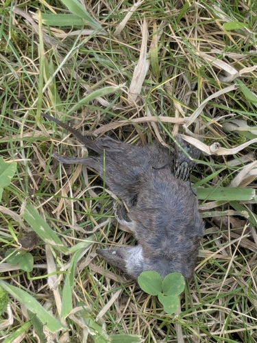
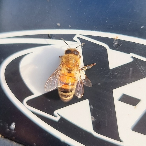
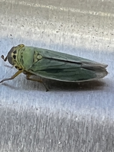

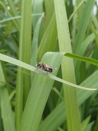
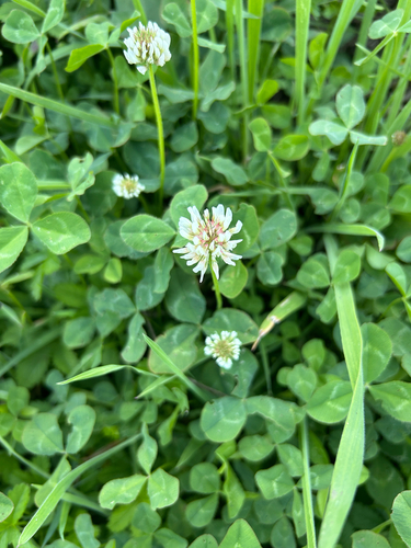
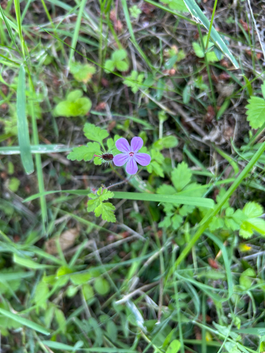
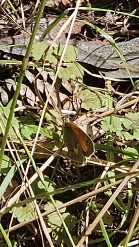
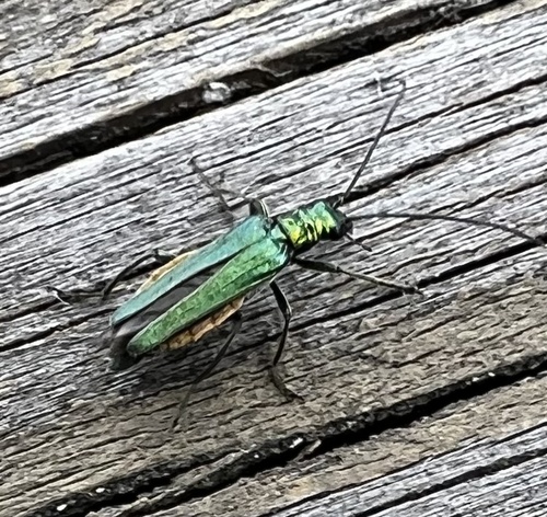
Research-grade observations from iNaturalist (within ~15 mi).
Events
Gallery
Official Identifiers
Destatis — German Federal Statistical Office
- AGS
- 09671139
- Population (Wikidata)
- 5,308
- Wikidata
- Q539764
Amtlicher Gemeindeschlüssel (AGS) via Wikidata P439
Sources
- • Wikipedia
- • Wikidata
- • iNaturalist
- • Open-Meteo / sunrise-sunset.org
- • Wikipedia Pageviews API
- • Destatis — German Federal Statistical Office — Amtlicher Gemeindeschlüssel (AGS) via Wikidata P439