Browse / Germany / Baden-Württemberg / Lauffen am Neckar
Lauffen am Neckar
Baden-Württembergtown

Lauffen am Neckar
Total population
11,138
Air quality index
Demographic figures from Destatis. Overview below cites Wikipedia and may reference a different year.
City facts
Sister cities
Facts from Wikidata (CC0).
Overview
Lauffen am Neckar or simply Lauffen is a town in the district of Heilbronn, Baden-Württemberg, Germany. It is on the river Neckar, 9 kilometres southwest of Heilbronn. The town is famous as the birthplace of the poet Friedrich Hölderlin and for its quality wines – in particular the "Lauffener Katzenbeißer Schwarzriesling".
Read more on WikipediaHistory & geography
History
It is presumed that the area around Lauffen had already been settled in pre-Christian times, although the only evidence consists of a few bones. The settlement's high level of frequentation can be attributed to the shallow water between the present old Neckar bridge and the cliffs by the castle and Regiswindis Church. Here the river was fordable for most of the year and the spot used by both men and animals as a crossing point. Such opportunities were few and far between along this stretch of the original Neckar. Indeed, the nearest fords were some kilometres distant. The two prominent cliffs may well have served as lookouts and refuges since primeval times. The foundations of a Roman estate (Villa Rustica) dating from between the 2nd and 3rd centuries, along with coins and pottery, were discovered some two kilometres () to the southeast of the present town centre. Archaeological excavations show that the Alemannians came to the area in around 260 AD upon the departure of the Romans. With the arrival of the Franks in 500 AD, a royal estate was founded together with a church dedicated to St Martin. The ownership of the estate alternated frequently between princes and church. A document from 823 refers to this “church in the tribal district of Neckar which is dedicated to Saint Martin in the Villa Hlauppa.” The rapids which are occasionally visible at Lauffen were created by erosion when the Neckar shortened its course after breaking through the neck of a great bow – an event which is estimated to have taken place between 400 BC and 100 BC. After this incident, the margrave Ernst returned to his home in the Upper Palatinate and the village was transferred back to the emperor with effect from 861, before the expiration of the lease and the death of the Graf. In 889,…
Geography
Lauffen is located in the southern part of the district of Heilbronn, south of Heilbronn and north of the capital of Baden-Württemberg, Stuttgart, on the Neckar. The small river Zaber flows into the Neckar at this point. The neck of the previous great bow in the course of the north-flowing Neckar was broken through by erosion somewhere between 400 BC and 100 BC Neighbouring towns and villages of Lauffen are (clockwise from the west): Brackenheim, Nordheim, Heilbronn, Talheim, Isfeld, Neckarwestheim and Kirchheim am Neckar (District of Ludwigsburg). The exclave Stadtwald Etzlenswenden is surrounded (from the west) by Abstatt, Untergruppenbach, Löwenstein and Beilstein. All neighbouring villages as far as Heilbronn and Kircheim come under the Landkreis (district) Heilbronn. Lauffen has combined with Neckarwestheim and Nordheim to form a joint association of administrations. The localities of Lauffen-Stadt (town) and Lauffen-Dorf (village) were combined on 1 April 1914 to create today's Lauffen am Neckar. The outlying farmsteads of the Landturm, an old customs house on the former Württemberg boundary, are included as part of the town. The defunct hamlets of Osterhofen and Talhofen originally lay within its bounds.
Excerpted from the corresponding Wikipedia article (CC BY-SA).
Geography
Coordinates & boundaries from the US Census TIGER/Line shapefiles.
Climate
Air quality
Current readings from Open-Meteo Air Quality API (Copernicus CAMS European reanalysis).
Walkability
Amenities nearby
Wildlife & biodiversity
Most-observed species
- Great TitParus major Linnaeus, 1758 · Aves2,386
- Zoropsid spiderZoropsis spinimana (Dufour, 1820) · Arachnida2,277
- Eurasian BlackbirdTurdus merula Linnaeus, 1758 · Aves2,274
- Common BuzzardButeo buteo (Linnaeus, 1758) · Aves2,172
- Carrion CrowCorvus corone Linnaeus, 1758 · Aves2,021
- Eurasian Blue TitCyanistes caeruleus (Linnaeus, 1758) · Aves1,940
- Common Wood-PigeonColumba palumbus Linnaeus, 1758 · Aves1,505
- Eurasian MagpiePica pica (Linnaeus, 1758) · Aves1,492
Citizen-science & research observations from the Global Biodiversity Information Facility (GBIF).
Earthquake history
Most recent
- M 3.4 — 2022-10-16Baden-Wurttemberg, Germany
- M 4 — 2022-07-092 km NNE of Grosselfingen, Germany
- M 3.6 — 2014-05-172 km ESE of Pfungstadt, Germany
- M 2.5 — 2008-12-122 km ESE of Nehren, Germany
- M 2.8 — 2008-11-251 km S of Steinmauern, Germany
- M 2.7 — 2008-07-091 km WSW of Dußlingen, Germany
Events from the USGS Earthquake Catalog (global) (FDSN Event Web Service).
Photos
Sights & places nearby
Notable people from here


People born within ~10 km, from Wikidata (CC0). Click any name for their Wikipedia article.
Nearby places in Baden-Württemberg
- Weinsberg8 mi away · pop. 11,812
- Gronau9 mi away
- Kleinbottwar9.1 mi away
- Löwenstein10.5 mi away · pop. 3,083
- Kleinaspach11.2 mi away
- Eppingen11.7 mi away · pop. 20,919
- Asperg11.8 mi away · pop. 12,842
- Kleinglattbach12 mi away · pop. 4,533
- Dimbach12.4 mi away · pop. 880
- Ittlingen12.7 mi away · pop. 2,401
- Großaspach13.6 mi away
- Schwabbach13.7 mi away · pop. 1,321
Geography & sun
Nearby airports
Public attention
Books about this place
Recent natural events nearby
Ground air-quality sensors
Recently spotted species
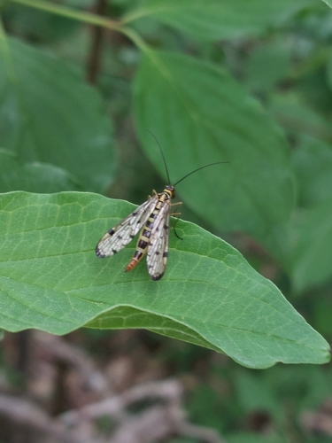
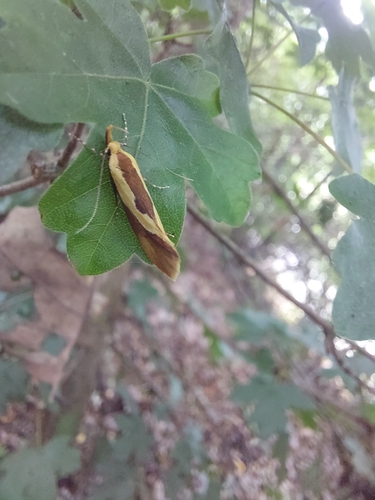
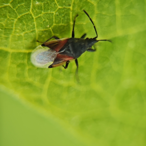
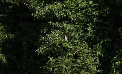
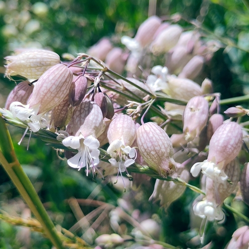
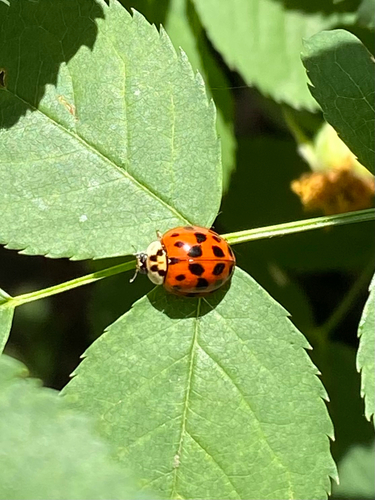
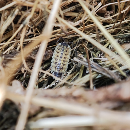
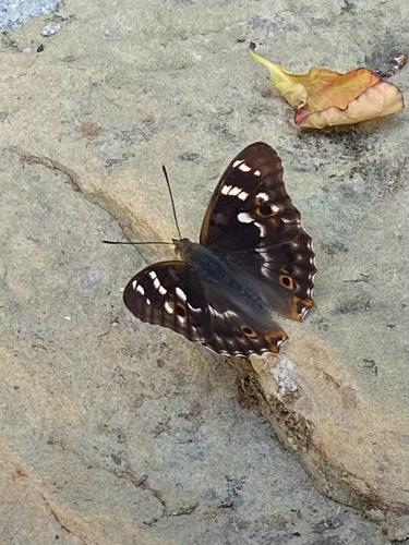
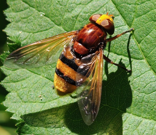
Research-grade observations from iNaturalist (within ~15 mi).
Events
Gallery
Geotagged photos within ~6 miles of Lauffen am Neckar, from Wikimedia Commons contributors.
 0 mi
0 mi 0 mi
0 mi 0 mi
0 mi 0 mi
0 mi 0 mi
0 mi 0.1 mi
 0.1 mi
 0.1 mi
 0.1 mi
.jpg) 0.1 mi
0.1 mi.jpg) 0.1 mi
0.1 mi 0.1 mi
 0.1 mi
 0.1 mi
 0.1 mi
 0.1 mi
 0.1 mi
 0.1 mi
 0.1 mi
 0.1 mi
 0.1 mi
 0.1 mi
 0.1 mi
 0.1 mi
Photos via Wikimedia Commons — see each image page for license & attribution.
Official Identifiers
Destatis — German Federal Statistical Office
- AGS
- 08125056
- Population (Wikidata)
- 11,863
- Wikidata
- Q525720
Amtlicher Gemeindeschlüssel (AGS) via Wikidata P439
Sources
- • Wikipedia
- • Wikimedia Commons
- • Wikidata
- • Open-Meteo Air Quality (CAMS)
- • USGS Earthquake Catalog (global feed)
- • GBIF (Global Biodiversity Information Facility)
- • iNaturalist
- • Wikidata SPARQL (CC0) — population, area, elevation, inception, head of government, Commons image
- • Destatis — German Federal Statistical Office — Amtlicher Gemeindeschlüssel (AGS) via Wikidata P439