Browse / Germany / Baden-Württemberg / Ludwigsburg
Ludwigsburg
Baden-Württembergtown

Ludwigsburg
Total population
91,116
Founded
1704
Air quality index
Demographic figures from Destatis. Overview below cites Wikipedia and may reference a different year.
City facts
Facts from Wikidata (CC0).
Overview
Ludwigsburg is a city in Baden-Württemberg, Germany, about 12 kilometres (7.5 mi) north of Stuttgart city centre, near the river Neckar. It is the largest and primary city of the Ludwigsburg district with about 94,000 inhabitants. It is situated within the Stuttgart Region, and the district is part of the administrative region (Regierungsbezirk) of Stuttgart.
Read more on WikipediaHistory & geography
History
The middle of Neckarland, where Ludwigsburg lies, was settled in the Stone and Bronze Ages. Numerous archaeological sites from the Hallstatt period remain in the city and surrounding area. Towards the end of the 1st century, the area was occupied by the Romans. They pushed the Limes further to the east around 150 and controlled the region until 260, when the Alamanni occupied the Neckarland. Evidence of the Alamanni settlement can be found in grave sites in the city today. The origins of Ludwigsburg date from the beginning of the 18th century (1718–1723) when the largest baroque castle in Germany, Ludwigsburg Palace was built by Duke Eberhard Ludwig von Württemberg. Originally, the Duke planned to just build one country home (albeit a palace), which he began building in 1704. However, the examples of other princes fostered a desire to project his absolutist power by establishing a city. To the baroque palace, he added a hunting lodge and country seat, called Schloss Favorite (1713–1728), and the Seeschloss (castle on the lake) Monrepos (1764–1768). A settlement began near the palace in 1709 and a town charter was granted on 3 April 1718. That same year, Ludwigsburg became a bailiff's seat, which eventually became the rural district of Ludwigsburg in 1938. In the years between 1730 and 1800, the royal seat of residence changed back and forth several times between Stuttgart and Ludwigsburg. In 1800, Württemberg was occupied by France under Napoleon Bonaparte and was forced into an alliance. In 1806, the Kurfürst (Prince-Elector) Friedrich was made king of Württemberg by Napoleon. In 1812, the Württembergish army was raised in Ludwigsburg for Napoleon's Russian campaign. Of the 15,800 Württemberg soldiers who served, just a few hundred returned. In 1921,…
Geography
Ludwigsburg consists of following districts: * Mitte (Center) * West * Nord (North) * Ost (East) * Süd (South) * Eglosheim * Grünbühl-Sonnenberg * Hoheneck, with a therapeutic and thermal bath, opened in 1907 * Neckarweihingen * Oßweil * Pflugfelden * Poppenweiler The following towns are neighbouring towns of Ludwigsburg, starting north of the city and going clockwise: Freiberg am Neckar, Benningen am Neckar, Marbach am Neckar, Erdmannhausen, Affalterbach, Remseck am Neckar, Kornwestheim, Möglingen, Asperg und Tamm. Ludwigsburg's climate is temperate oceanic (Köppen:Cfb) with warm and rainy summers and cold winters with less precipitation.
Excerpted from the corresponding Wikipedia article (CC BY-SA).
Geography
Coordinates & boundaries from the US Census TIGER/Line shapefiles.
Climate
Air quality
Current readings from Open-Meteo Air Quality API (Copernicus CAMS European reanalysis).
Walkability
Amenities nearby
Wildlife & biodiversity
Most-observed species
- Great TitParus major Linnaeus, 1758 · Aves10,395
- Carrion CrowCorvus corone Linnaeus, 1758 · Aves9,715
- Eurasian BlackbirdTurdus merula Linnaeus, 1758 · Aves9,543
- Eurasian Blue TitCyanistes caeruleus (Linnaeus, 1758) · Aves8,918
- Common BuzzardButeo buteo (Linnaeus, 1758) · Aves7,469
- Common Wood-PigeonColumba palumbus Linnaeus, 1758 · Aves7,390
- Common ChaffinchFringilla coelebs Linnaeus, 1758 · Aves7,049
- Great Spotted WoodpeckerDendrocopos major (Linnaeus, 1758) · Aves6,356
Citizen-science & research observations from the Global Biodiversity Information Facility (GBIF).
Earthquake history
Most recent
- M 3.4 — 2022-10-16Baden-Wurttemberg, Germany
- M 4 — 2022-07-092 km NNE of Grosselfingen, Germany
- M 3.1 — 2008-12-253 km NNW of Saulgau, Germany
- M 2.5 — 2008-12-122 km ESE of Nehren, Germany
- M 2.8 — 2008-11-251 km S of Steinmauern, Germany
- M 2.7 — 2008-07-091 km WSW of Dußlingen, Germany
Events from the USGS Earthquake Catalog (global) (FDSN Event Web Service).
Photos
Sights & places nearby
Notable people from here


People born within ~10 km, from Wikidata (CC0). Click any name for their Wikipedia article.
Nearby places in Baden-Württemberg
- Neckarrems4.3 mi away · pop. 4,765
- Mundelsheim7.2 mi away · pop. 3,188
- Kleinbottwar7.4 mi away
- Rielingshausen7.8 mi away
- Hirschlanden8 mi away
- Schöckingen8.1 mi away
- Weiler zum Stein8.3 mi away
- Rommelshausen8.5 mi away
- Hochdorf an der Enz8.6 mi away · pop. 2,834
- Beinstein8.8 mi away · pop. 4,000
- Erbstetten9.4 mi away
- Höfingen9.5 mi away
Geography & sun
Elevation, sunrise/sunset and daylight from Open-Meteo. Solar climatology from NASA POWER.
Nearby airports
Public attention
Pageview totals from the Wikimedia Pageviews API.
Books about Ludwigsburg
Search results from Open Library.
Recent natural events nearby
Ground air-quality sensors
Recently spotted species
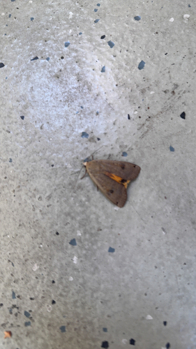
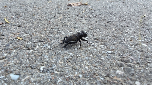
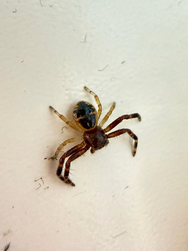
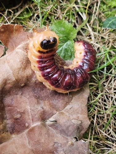
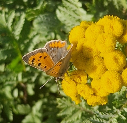
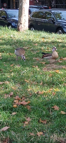
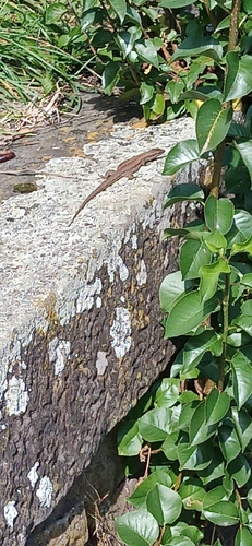
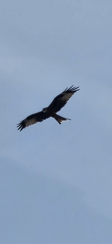
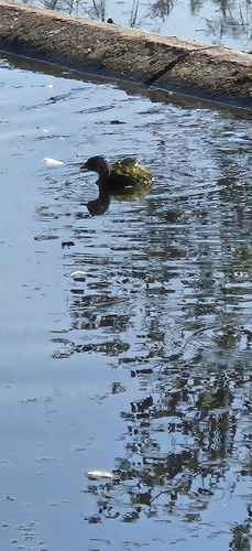
Research-grade observations from iNaturalist (within ~15 mi).
Events
Notable, recurring, and historical events associated with Ludwigsburg, sourced from Wikidata.
- Venezianische Messeplanned event
Source: Wikidata (CC0).
Gallery
Geotagged photos within ~6 miles of Ludwigsburg, from Wikimedia Commons contributors.
 0 mi
0 mi 0 mi
0 mi 0 mi
0 mi 0 mi
0 mi.jpg) 0 mi
0 mi 0.1 mi
 0.1 mi
 0.1 mi
 0.1 mi
.jpg) 0.1 mi
0.1 mi.jpg) 0.1 mi
0.1 mi 0.1 mi
 0.1 mi
 0.1 mi
 0.1 mi
 0.1 mi
 0.1 mi
 0.1 mi
 0.1 mi
 0.1 mi
 0.1 mi
 0.1 mi
 0.1 mi
 0.1 mi
Photos via Wikimedia Commons — see each image page for license & attribution.
Official Identifiers
Destatis — German Federal Statistical Office
- AGS
- 08118048
- Population (Wikidata)
- 94,859
- Wikidata
- Q622
Amtlicher Gemeindeschlüssel (AGS) via Wikidata P439
Sources
- • Wikipedia
- • Wikimedia Commons
- • Wikidata
- • Open-Meteo Air Quality (CAMS)
- • USGS Earthquake Catalog (global feed)
- • GBIF (Global Biodiversity Information Facility)
- • iNaturalist
- • Open-Meteo / sunrise-sunset.org
- • Wikipedia Pageviews API
- • Open Library
- • Wikidata SPARQL (CC0) — population, area, elevation, inception, head of government, Commons image
- • Destatis — German Federal Statistical Office — Amtlicher Gemeindeschlüssel (AGS) via Wikidata P439