Browse / Germany / Bayern / Mainaschaff
Mainaschaff
Bayernvillage

Mainaschaff
Total population
8,330
Demographic figures from Destatis. Overview below cites Wikipedia and may reference a different year.
City facts
Facts from Wikidata (CC0).
Overview
Mainaschaff is a municipality in the Aschaffenburg district in the Regierungsbezirk of Lower Franconia (Unterfranken) in Bavaria, Germany. It has a population of around 9,000 (2020).
Read more on WikipediaHistory & geography
History
In 1184, Mainaschaff had its first documentary mention as a holding in Pope Lucius III’s privilege for the Kollegiatsstift at Aschaffenburg. In the early 12th century, the small village, which was made up mainly of farms, belonged to the Stift of St. Peter and Alexander in Aschaffenburg. The inhabitants, who made their living mostly by growing fruit and fishing, had to pay ongoing tribute to the Stift, and also perform compulsory labour for it. Only in 1872 did Mainaschaff become a self-administering municipality.
Geography
The municipality lies near the boundary with Hesse, to the west just outside Aschaffenburg. It is located on the Main’s right bank, and on the small river Aschaff, which empties here into the Main. This confluence gave the municipality its name.
Excerpted from the corresponding Wikipedia article (CC BY-SA).
Geography
Coordinates & boundaries from the US Census TIGER/Line shapefiles.
Climate
Air quality
Walkability
Amenities nearby
Wildlife & biodiversity
Earthquake history
Photos
Sights & places nearby
Notable people from here
Geography & sun
Elevation, sunrise/sunset and daylight from Open-Meteo. Solar climatology from NASA POWER.
Nearby airports
Public attention
Pageview totals from the Wikimedia Pageviews API.
Books about this place
Recent natural events nearby
Ground air-quality sensors
Recently spotted species
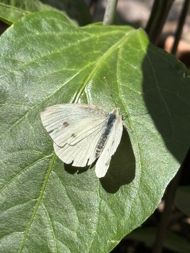

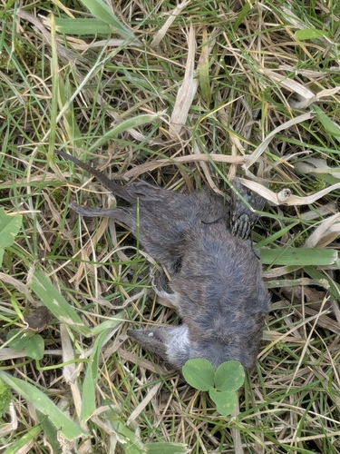


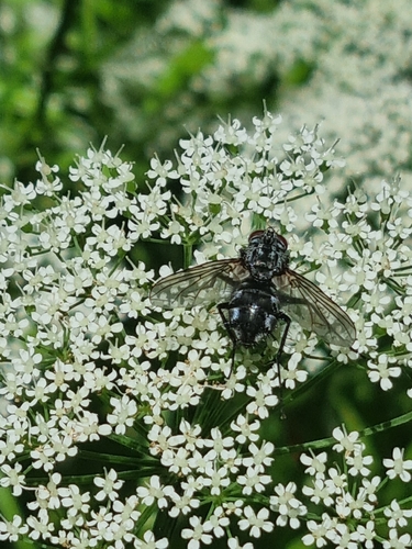
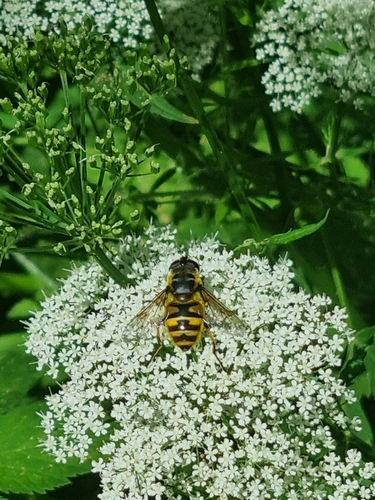

Research-grade observations from iNaturalist (within ~15 mi).
Events
Gallery
Official Identifiers
Destatis — German Federal Statistical Office
- AGS
- 09671140
- Population (Wikidata)
- 9,112
- Wikidata
- Q505209
Amtlicher Gemeindeschlüssel (AGS) via Wikidata P439
Sources
- • Wikipedia
- • Wikidata
- • iNaturalist
- • Open-Elevation
- • Open-Meteo / sunrise-sunset.org
- • Wikipedia Pageviews API
- • Wikidata SPARQL (CC0) — population, area, elevation, inception, head of government, Commons image
- • Destatis — German Federal Statistical Office — Amtlicher Gemeindeschlüssel (AGS) via Wikidata P439