Browse / Germany / Baden-Württemberg / Mössingen
Mössingen
Baden-Württembergtown

Mössingen
Total population
19,554
Air quality index
Demographic figures from Destatis. Overview below cites Wikipedia and may reference a different year.
City facts
Sister cities
Facts from Wikidata (CC0).
Overview
Mössingen is a town in the district of Tübingen, in Baden-Württemberg, Germany. It is situated north of the Swabian Jura, about 13 km south of Tübingen.
Read more on WikipediaHistory & geography
History
Mössingen is first mentioned in a document of Lorsch Abbey ("in pago Alemannorum in Messinger marca") from the year 774. Until the early 15th century Mössingen belonged to the Counts of Zollern. After a dispute between Count Friedrich XII. and the Lords of Ow Mössingen was looted and burned in the early 15th century. Consequently, the Mössingen cemetery was attached with a high Wall and a defensive tower. 1415 pledged Count Friedrich von Zollern Mössingen to Count Eberhard von Württemberg. After protracted negotiations with the Count of Zollern, Mössingen came in 1441 finally to the Duchy of Württemberg. In 1534, Ulrich of Württemberg introduced the Reformation. As a result of the Thirty Years' War, the war of succession and the Revolutionary Wars took place and caused serious economic damage. An emigration swell in the late 18th to the early 19th century to Poland, Transylvania and America weakened the site further. Mössingen found widespread attention on 31 January 1933, as the location of the sole workers' uprising in Germany against the seizure of power by Adolf Hitler. The Mössingen general strike, led by members of the Communist Party of Germany, led to 80 arrests. Through population growth, immigration profits by expellees and foreign and resettled Russia German, the economic upturn from 1950 reached the region. A commuter town, Bästenhardt, was built. On 1 January 1971, the inclusion of the municipality Talheim took place. Öschingen was incorporated on 1 December 1971. On 1 January 1974, the municipal rights were awarded. As a result of the further increase in population, the city has been further expanded. In Öschingen, Belsen and at the edges of the core city and Bästenhardt incurred large residential areas. Industry settled primarily on the north side and…
Geography
Mössingen is located on the northern edge of the Swabian Jura in the Valley of the Steinlach, a right tributary of the Neckar. The lowest point of the urban area is 435 m NN at the Untere Mühle (lower mill) on the Steinlach, the highest point is on the top of Dreifürstenstein with 853.5 NN. Mössingen is in the area of a convoluted rock sequence from clays, sandstones, marls and limestone benches of Black, Brown and White Jurassic (Lias, Dogger and Malm). Most important are the more than 100 m thick banked limestones of the White Jura β constituting the highly visible edge of the Swabian Jura. On 12 April 1983, after persistent rains, the largest landslide in Baden-Württemberg took place in the Mössingen district at the Hirschkopf (stag head), ) due to the layered conditions of different rocks of the edge of the Alb (Albtrauf). Hard limes are stored here on plastic marls and clays. Furthermore, rock material is continually transported away by natural erosion, so it must come inevitably sooner or later to such a slide. On 12 May 2006, this area was included to the list of National Geotops. Other major landslides occurred, also after previous heavy rainfall, on 3 June 2013. The area of about one hectare was taken solely at the landslide in the Öschingen cottage settlement. The settlement was evacuated then. More landslides occurred on the southwest side of the Farrenberg, on Buchberg, at the Talheim waterfalls and at the Talheim platforms. From April to June, various natural flowering aspects arise starting with the plum and cherry and ending with the flowering of the species-rich meadows on the escarpment of the Swabian Jura. The slopes of the nearby city Mössingen, Albberge and parts of Albvorland such as the Firstberg or the Bästenhardt forest, are…
Excerpted from the corresponding Wikipedia article (CC BY-SA).
Geography
Coordinates & boundaries from the US Census TIGER/Line shapefiles.
Climate
Air quality
Current readings from Open-Meteo Air Quality API (Copernicus CAMS European reanalysis).
Walkability
Amenities nearby
Wildlife & biodiversity
Most-observed species
- Eurasian BlackbirdTurdus merula Linnaeus, 1758 · Aves2,886
- Carrion CrowCorvus corone Linnaeus, 1758 · Aves2,788
- Great TitParus major Linnaeus, 1758 · Aves2,664
- Eurasian Blue TitCyanistes caeruleus (Linnaeus, 1758) · Aves2,402
- Common ChaffinchFringilla coelebs Linnaeus, 1758 · Aves1,926
- Eurasian MagpiePica pica (Linnaeus, 1758) · Aves1,906
- Common BuzzardButeo buteo (Linnaeus, 1758) · Aves1,828
- MallardAnas platyrhynchos Linnaeus, 1758 · Aves1,619
Citizen-science & research observations from the Global Biodiversity Information Facility (GBIF).
Earthquake history
Most recent
- M 3.4 — 2022-10-16Baden-Wurttemberg, Germany
- M 4 — 2022-07-092 km NNE of Grosselfingen, Germany
- M 4.1 — 2021-06-262 km SE of Hœrdt, France
- M 3.1 — 2008-12-253 km NNW of Saulgau, Germany
- M 2.5 — 2008-12-122 km ESE of Nehren, Germany
- M 2.8 — 2008-11-251 km S of Steinmauern, Germany
Events from the USGS Earthquake Catalog (global) (FDSN Event Web Service).
Photos
Sights & places nearby
Notable people from here


People born within ~10 km, from Wikidata (CC0). Click any name for their Wikipedia article.
Nearby places in Baden-Württemberg
- Kilchberg6.1 mi away · pop. 1,261
- Jettenburg7.3 mi away · pop. 1,100
- Schwalldorf8.7 mi away
- Honau9.2 mi away
- Holzelfingen10 mi away
- Bebenhausen10.6 mi away · pop. 335
- Wolfenhausen11.3 mi away
- Owingen11.7 mi away
- Freudenweiler11.9 mi away
- Eckenweiler12 mi away
- Breitenholz12.2 mi away · pop. 700
- Weitingen12.8 mi away
Geography & sun
Elevation, sunrise/sunset and daylight from Open-Meteo. Solar climatology from NASA POWER.
Nearby airports
Public attention
Pageview totals from the Wikimedia Pageviews API.
Books about Mössingen
Search results from Open Library.
Recent natural events nearby
Ground air-quality sensors
Recently spotted species
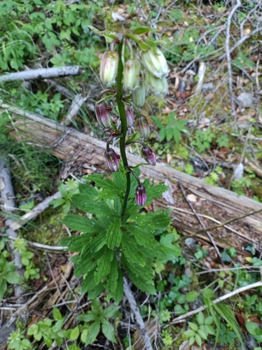
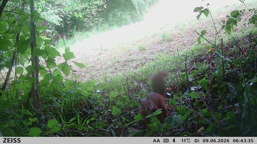
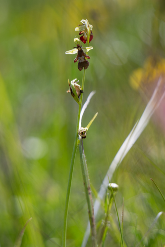
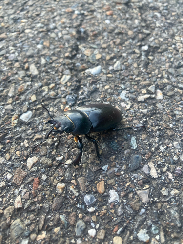
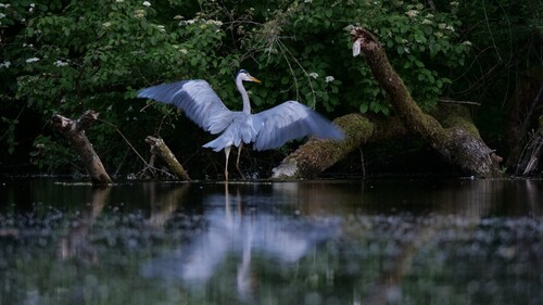
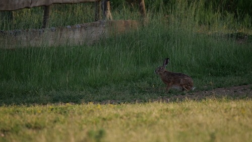
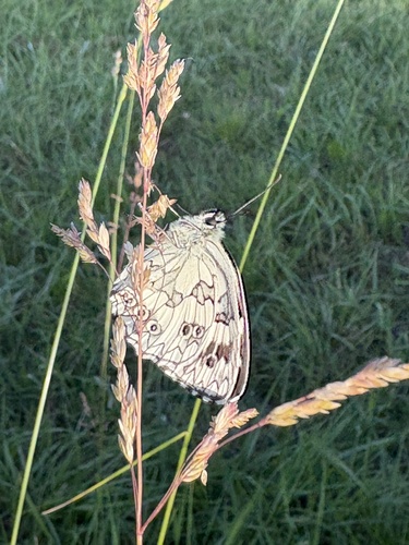
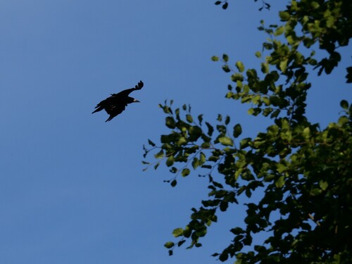
Research-grade observations from iNaturalist (within ~15 mi).
Events
Gallery
Geotagged photos within ~6 miles of Mössingen, from Wikimedia Commons contributors.
 0 mi
0 mi 0 mi
0 mi 0 mi
0 mi 0 mi
0 mi.jpg) 0 mi
0 mi.jpg) 0 mi
0 mi.jpg) 0 mi
0 mi.jpg) 0 mi
0 mi.jpg) 0 mi
0 mi 0 mi
0 mi.jpg) 0 mi
0 mi.jpg) 0 mi
0 mi.jpg) 0 mi
0 mi.jpg) 0 mi
0 mi.jpg) 0 mi
0 mi 0.1 mi
 0.1 mi
.jpg) 0.1 mi
0.1 mi.jpg) 0.1 mi
0.1 mi.jpg) 0.1 mi
0.1 mi.jpg) 0.1 mi
0.1 mi.jpg) 0.1 mi
0.1 mi.jpg) 0.1 mi
0.1 mi.jpg) 0.1 mi
0.1 miPhotos via Wikimedia Commons — see each image page for license & attribution.
Official Identifiers
Destatis — German Federal Statistical Office
- AGS
- 08416025
- Population (Wikidata)
- 20,979
- Wikidata
- Q525575
Amtlicher Gemeindeschlüssel (AGS) via Wikidata P439
Sources
- • Wikipedia
- • Wikimedia Commons
- • Wikidata
- • Open-Meteo Air Quality (CAMS)
- • USGS Earthquake Catalog (global feed)
- • GBIF (Global Biodiversity Information Facility)
- • iNaturalist
- • Open-Meteo / sunrise-sunset.org
- • Wikipedia Pageviews API
- • Open Library
- • Wikidata SPARQL (CC0) — population, area, elevation, inception, head of government, Commons image
- • Destatis — German Federal Statistical Office — Amtlicher Gemeindeschlüssel (AGS) via Wikidata P439