Browse / Germany / Baden-Württemberg / Mutlangen
Mutlangen
Baden-Württembergvillage

Mutlangen
Total population
6,381
Air quality index
Demographic figures from Destatis. Overview below cites Wikipedia and may reference a different year.
City facts
Facts from Wikidata (CC0).
Overview
Mutlangen is a municipality in the German state of Baden-Württemberg in the Ostalbkreis district and belongs to the Stuttgart Metropolitan Region. As of 31 December 2022, it has 6,886 inhabitants.
Read more on WikipediaHistory & geography
History
At around 500 AD and later the first verifiable settlement existed (marking of Muotho). However, the site only became more popular at around 1100 to 1200 AD. The manorial systems alternated in a fast pace: Hohenstaufen, Weinsberg and Rechberg. After some time monasteries and families from the nearby Gmünd area were its landlords. The name Mutlangen was first mentioned in 1293 in the scriptures of the Lorch monastery, which probably was its owner at the time. In the year 1581, the neighboring town of Schwäbisch Gmünd took Mutlangen as property. In the course of the secularization circa 1800, Schwäbisch Gmünd lost its sovereignty and was assigned to the newly established Kingdom of Württemberg. After World War II Mutlangen had around 1,200 inhabitants and exhibited a mostly agricultural labour structure. In addition, in the aftermath of the war numerous refugees and expellees were received. The following decades were characterised by a change to a more industrialised town with newly established enterprises and an increasing population. The Mutlanger Heide, a heathland nearby, was the site of a US military base for Pershing II missiles, which were assigned to the 56th Field Artillery Command headquartered in nearby Schwäbisch Gmünd. The Pressehütte Mutlangen has since then been a site of peace and antinuclear activism. The missiles were dismantled following the Intermediate-Range Nuclear Forces Treaty in 1990; the base has been almost completely demolished and now is a residential zone. Two remaining blast shelters and a historical path still bear evidence of this part of Mutlangen's history.
Geography
Mutlangen is located between the Welzheim Forest and the Swabian Keuper-Lias Plains on an elevation above the Rems valley. The neighboring communes of Mutlangen are Durlangen in the north, the city of Schwäbisch Gmünd in the east and south as well as Alfdorf in the west. Mutlangen consists of the small town Mutlangen and the hamlet Pfersbach, which belongs to Mutlangen since 1 April 1973.
Excerpted from the corresponding Wikipedia article (CC BY-SA).
Geography
Coordinates & boundaries from the US Census TIGER/Line shapefiles.
Climate
Air quality
Current readings from Open-Meteo Air Quality API (Copernicus CAMS European reanalysis).
Walkability
Amenities nearby
Wildlife & biodiversity
Most-observed species
- Great TitParus major Linnaeus, 1758 · Aves1,286
- Eurasian Blue TitCyanistes caeruleus (Linnaeus, 1758) · Aves1,162
- Eurasian BlackbirdTurdus merula Linnaeus, 1758 · Aves1,117
- Common ChaffinchFringilla coelebs Linnaeus, 1758 · Aves1,063
- Carrion CrowCorvus corone Linnaeus, 1758 · Aves972
- European RobinErithacus rubecula (Linnaeus, 1758) · Aves873
- Common BuzzardButeo buteo (Linnaeus, 1758) · Aves834
- Great Spotted WoodpeckerDendrocopos major (Linnaeus, 1758) · Aves765
Citizen-science & research observations from the Global Biodiversity Information Facility (GBIF).
Earthquake history
Most recent
- M 3.4 — 2022-10-16Baden-Wurttemberg, Germany
- M 4 — 2022-07-092 km NNE of Grosselfingen, Germany
- M 3.1 — 2008-12-253 km NNW of Saulgau, Germany
- M 2.5 — 2008-12-122 km ESE of Nehren, Germany
- M 2.7 — 2008-07-091 km WSW of Dußlingen, Germany
- M 2.5 — 2008-07-032 km W of Dußlingen, Germany
Events from the USGS Earthquake Catalog (global) (FDSN Event Web Service).
Photos
Sights & places nearby
Notable people from here


People born within ~10 km, from Wikidata (CC0). Click any name for their Wikipedia article.
Nearby places in Baden-Württemberg
- Hussenhofen2.9 mi away
- Oberbettringen3.3 mi away
- Unterbettringen3.4 mi away
- Rechberg4.8 mi away
- Bargau4.9 mi away
- Lorch5 mi away · pop. 10,607
- Lenglingen5 mi away
- Weiler in den Bergen5.4 mi away
- Maitis5.5 mi away · pop. 710
- Wißgoldingen6.3 mi away
- Wäschenbeuren6.5 mi away · pop. 3,933
- Hohenstaufen6.6 mi away · pop. 1,100
Geography & sun
Elevation, sunrise/sunset and daylight from Open-Meteo. Solar climatology from NASA POWER.
Nearby airports
Public attention
Pageview totals from the Wikimedia Pageviews API.
Books about this place
Recent natural events nearby
Ground air-quality sensors
Recently spotted species
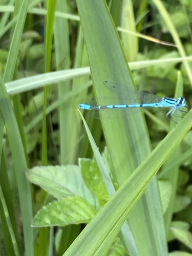
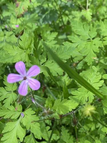
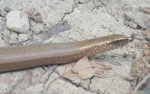
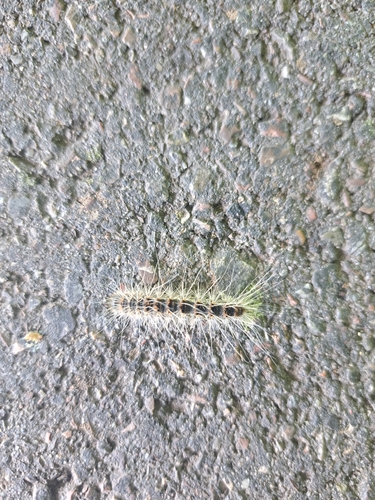
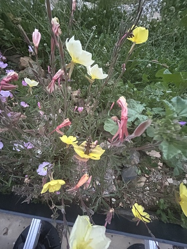
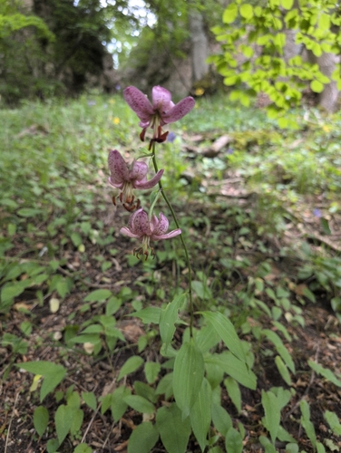
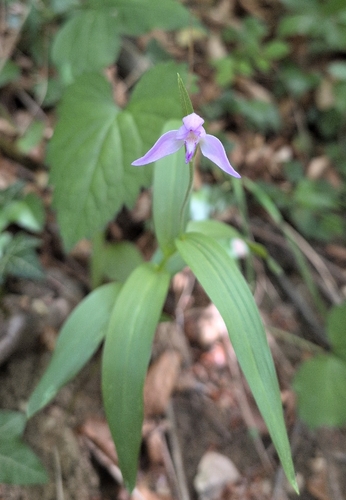
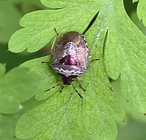
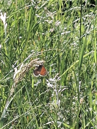
Research-grade observations from iNaturalist (within ~15 mi).
Events
Gallery
Official Identifiers
Destatis — German Federal Statistical Office
- AGS
- 08136044
- Population (Wikidata)
- 6,845
- Wikidata
- Q574197
Amtlicher Gemeindeschlüssel (AGS) via Wikidata P439
Sources
- • Wikipedia
- • Wikidata
- • Open-Meteo Air Quality (CAMS)
- • USGS Earthquake Catalog (global feed)
- • GBIF (Global Biodiversity Information Facility)
- • iNaturalist
- • Open-Meteo / sunrise-sunset.org
- • Wikipedia Pageviews API
- • Wikidata SPARQL (CC0) — population, area, elevation, inception, head of government, Commons image
- • Destatis — German Federal Statistical Office — Amtlicher Gemeindeschlüssel (AGS) via Wikidata P439