Browse / Germany / Bayern / Neu-Ulm
Neu-Ulm
Bayerntown

Neu-Ulm
Total population
62,610
Founded
1869
Demographic figures from Destatis. Overview below cites Wikipedia and may reference a different year.
City facts
Sister cities
Facts from Wikidata (CC0).
Overview
Neu-Ulm is the seat of the Neu-Ulm district and a town in Swabia, Bavaria. Neighbouring towns include Ulm, Senden, Pfaffenhofen an der Roth, Holzheim, Nersingen and Elchingen. The population is 58,978.
Read more on WikipediaHistory & geography
History
The modern history of Neu-Ulm began with the change of the sovereignty over the city of Ulm in 1810 from the Kingdom of Bavaria to the Kingdom of Württemberg. The Danube became the boundary between Bavaria and Württemberg. Land on the right bank of the Danube thus remained under Bavarian sovereignty. This was the beginning of Neu-Ulm's status as an independent town. At this time Neu-Ulm was very small with little more than a few houses, taverns, pieces of land, and the village of Offenhausen. It was still known as (Ulm on the right-hand side of the Danube). The name "Neu-Ulm" was first mentioned in records in 1814. The town's real growth began a few decades later in 1841, when the announced the building of the Federal Fort of Ulm, the . Upon the wishes of King Ludwig I, Neu-Ulm was included within the fort and the building work in Neu-Ulm was overseen by Major Theodor von Hildebrandt. After Neu-Ulm was connected to the railway line to Augsburg in 1853, soldiers arrived and a garrison was created there. The city began to blossom under Mayor Josef Kollmann at the end of the 19th century. A tram line connecting Ulm and Neu-Ulm was built in 1897 and in 1900 the water tower (still a landmark today) was built, guaranteeing Neu-Ulm's water supply. In 1906, Neu-Ulm expanded beyond the city walls for the first time. The first factories were built, and it continued to expand. After World War I, the garrison was closed. The population and wealth of the town grew, and it became a rich town. However, World War II left its mark; nearly eighty percent of the town was destroyed by Allied bombing, and all bridges across the Danube to Ulm were destroyed. Rebuilding began, and from the end of World War II up to the 1990s, the US Army were stationed in Neu-Ulm. In 1968 the 1st…
Excerpted from the corresponding Wikipedia article (CC BY-SA).
Geography
Coordinates & boundaries from the US Census TIGER/Line shapefiles.
Climate
Air quality
Walkability
Amenities nearby
Wildlife & biodiversity
Earthquake history
Photos
Sights & places nearby
Notable people from here


People born within ~10 km, from Wikidata (CC0). Click any name for their Wikipedia article.
Nearby places in Bayern
Geography & sun
Elevation, sunrise/sunset and daylight from Open-Meteo. Solar climatology from NASA POWER.
Nearby airports
Public attention
Pageview totals from the Wikimedia Pageviews API.
Books about Neu-Ulm
Search results from Open Library.
Recent natural events nearby
Ground air-quality sensors
Recently spotted species
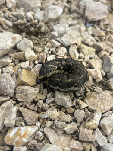



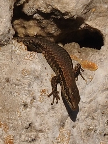

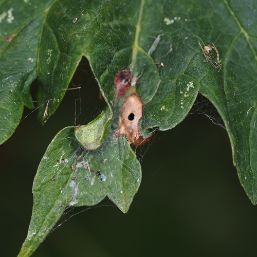


Research-grade observations from iNaturalist (within ~15 mi).
Events
Notable, recurring, and historical events associated with Neu-Ulm, sourced from Wikidata.
- Q134651521May 29, 2025recurring event edition
Source: Wikidata (CC0).
Gallery
Official Identifiers
Destatis — German Federal Statistical Office
- AGS
- 09775135
- Population (Wikidata)
- 61,780
- Wikidata
- Q4120
Amtlicher Gemeindeschlüssel (AGS) via Wikidata P439
Sources
- • Wikipedia
- • Wikidata
- • iNaturalist
- • Open-Meteo / sunrise-sunset.org
- • Wikipedia Pageviews API
- • Open Library
- • Wikidata SPARQL (CC0) — population, area, elevation, inception, head of government, Commons image
- • Destatis — German Federal Statistical Office — Amtlicher Gemeindeschlüssel (AGS) via Wikidata P439