Browse / Germany / Baden-Württemberg / Neuenhaus
Neuenhaus
Baden-Württembergvillage

Neuenhaus
Total population
2,300
Demographic figures from Destatis. Overview below cites Wikipedia and may reference a different year.
City facts
Sister cities
Facts from Wikidata (CC0).
Overview
Neuenhaus is a town in the district of Grafschaft Bentheim in Lower Saxony, and is the seat of a like-named collective municipality Neuenhaus. Neuenhaus lies on the rivers Dinkel and Vechte near the border with the Netherlands and is roughly 10 km northwest of Nordhorn, and 30 km north of Enschede.
Read more on WikipediaHistory & geography
History
Neuenhaus was founded in 1317 on the trade road between Münster and Amsterdam by Bentheim’s Count Johannes II, who also had a castle built for its security. The quickly growing new town was granted town rights in 1369. The town had at its disposal an Amt court and other authorities that were moved to the district seat of Nordhorn after the Second World War. Today’s town of Neuenhaus was enlarged in 1970 through the amalgamation of the formerly autonomous communities of Grasdorf, Hilten and Veldhausen, the last of which had already existed as early as the 10th century. By building two weirs on the Vechte and another on the river Dinkel, the flooding that had so often beset Neuenhaus in earlier years was brought under control. The main street through Neuenhaus’s inner town has been dismantled since 2005 after a southwest bypass was built around the town. Many old Ackerbürgerhäuser (roughly "gentleman farmers’ houses") have been or are being renovated. The town is especially interesting when explored by bicycle. The cycling paths are very well signposted (a roughly 250 km network throughout the district) and lead through meadows and woods as well as alongside the rivers Vechte and Dinkel. There are always more and more artistic projects along the paths to look at. Furthermore, the local gymnastic and sport club (known locally as the "TuS", for "Turn- und Sportverein"), linked below, is celebrating its 100-year jubilee. The outlying centre of Veldhausen is actually a more-than-1000-year-old parish village that has been amalgamated with the town of Neuenhaus since 1970. Nonetheless, Veldhausen has been able to keep some of its autonomy. There are roughly 2,200 villagers. Veldhausen arose when farmers from the nearby communities of Esche, Grasdorf and Osterwald…
Excerpted from the corresponding Wikipedia article (CC BY-SA).
Geography
Coordinates & boundaries from the US Census TIGER/Line shapefiles.
Climate
Air quality
Walkability
Amenities nearby
Wildlife & biodiversity
Earthquake history
Photos
Sights & places nearby
Notable people from here
Nearby places in Baden-Württemberg
- Neckarhausen4.6 mi away · pop. 4,044
- Kemnat6.5 mi away · pop. 5,123
- Zizishausen6.5 mi away · pop. 3,306
- Unterensingen7 mi away · pop. 4,491
- Bebenhausen8.1 mi away · pop. 335
- Jettenburg9.2 mi away · pop. 1,100
- Dettingen unter Teck11.2 mi away
- Owen11.3 mi away · pop. 3,533
- Schanbach12 mi away · pop. 2,809
- Aichschieß12 mi away · pop. 1,564
- Breitenholz12.1 mi away · pop. 700
- Unterlenningen12.4 mi away
Geography & sun
Elevation, sunrise/sunset and daylight from Open-Meteo. Solar climatology from NASA POWER.
Nearby airports
Public attention
Pageview totals from the Wikimedia Pageviews API.
Books about this place
Recent natural events nearby
Ground air-quality sensors
Recently spotted species
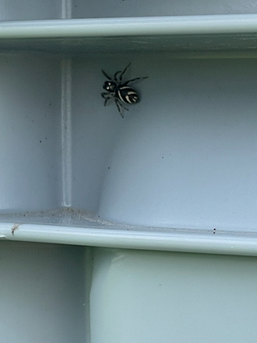
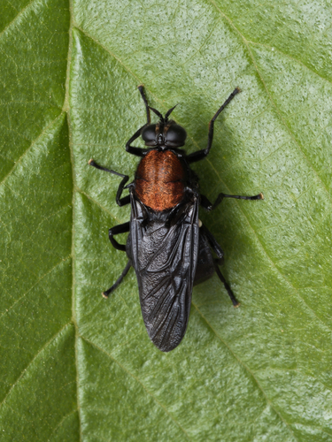
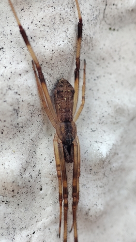
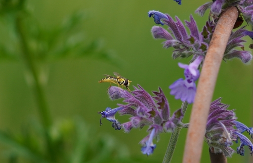
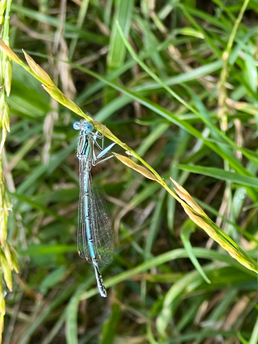
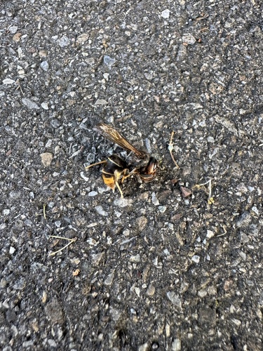
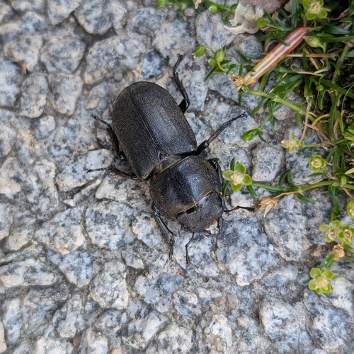
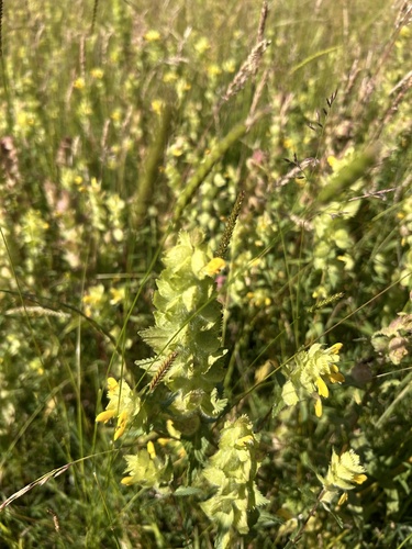
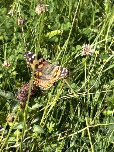
Research-grade observations from iNaturalist (within ~15 mi).
Events
Gallery
Official Identifiers
Destatis — German Federal Statistical Office
- AGS
- 03456014
- Population (Wikidata)
- 10,650
- Wikidata
- Q572280
Amtlicher Gemeindeschlüssel (AGS) via Wikidata P439
Sources
- • Wikipedia
- • Wikidata
- • iNaturalist
- • Open-Meteo / sunrise-sunset.org
- • Wikipedia Pageviews API
- • Destatis — German Federal Statistical Office — Amtlicher Gemeindeschlüssel (AGS) via Wikidata P439