Browse / Germany / Baden-Württemberg / Oberholzheim
Oberholzheim
Baden-Württembergvillage

Oberholzheim
Demographic figures from Destatis. Overview below cites Wikipedia and may reference a different year.
City facts
Overview
Oberholzheim is a village in the state of Baden-Württemberg, Germany, with a population of 857. Administratively, it is part of the municipality of Achstetten and has a population of 858.
Read more on WikipediaHistory & geography
History
The area of Oberholzheim has been inhabited since ancient times. A Celtic grave, believed to be dating to the second millennium BCE, and containing a Bronze Age axe, was discovered on its territory. Oberholzheim is first mentioned as Holtzheim in documents of 926 where Weissenburg Abbey is referred to as owing several farms and rights in the village. In 1275 the local church seems to have been independent from local aristocratic patronage. However, by the mid-14th century the lords of Freyberg had acquired the jus patronatus over the church. The parts belonging to the Ulm citizens were sold to Spital, a charitable institution for all citizens founded in 1239, from the Free imperial city Biberach an der Riss in 1439. whereas the Spital property within the village was handed over to the Margraviate of Baden in 1803. Following the establishing of the Confederation of the Rhine in 1806 the whole of the village of Oberholzheim was incorporated into the Kingdom of Württemberg.
Geography
Oberholzheim is located 1 km east of Achstetten and 1 km west of Bihlafingen on the country road 261. To the north-east it borders on the municipality of Hüttisheim, part of Alb-Donau district. The village is situated on a high plateau between the valleys of the rivers Rot and Schmiehe.
Excerpted from the corresponding Wikipedia article (CC BY-SA).
Geography
Coordinates & boundaries from the US Census TIGER/Line shapefiles.
Climate
Air quality
Walkability
Amenities nearby
Wildlife & biodiversity
Most-observed species
- Eurasian BlackbirdTurdus merula Linnaeus, 1758 · Aves1,887
- MallardAnas platyrhynchos Linnaeus, 1758 · Aves1,589
- Carrion CrowCorvus corone Linnaeus, 1758 · Aves1,486
- Eurasian Blue TitCyanistes caeruleus (Linnaeus, 1758) · Aves1,458
- Great TitParus major Linnaeus, 1758 · Aves1,453
- House SparrowPasser domesticus (Linnaeus, 1758) · Aves1,409
- Eurasian CootFulica atra Linnaeus, 1758 · Aves960
- Gray/Purple HeronArdea cinerea Linnaeus, 1758 · Aves947
Citizen-science & research observations from the Global Biodiversity Information Facility (GBIF).
Earthquake history
Most recent
- M 3.4 — 2022-10-16Baden-Wurttemberg, Germany
- M 4 — 2022-07-092 km NNE of Grosselfingen, Germany
- M 3.1 — 2008-12-253 km NNW of Saulgau, Germany
- M 2.5 — 2008-12-122 km ESE of Nehren, Germany
- M 2.7 — 2008-07-091 km WSW of Dußlingen, Germany
- M 2.5 — 2008-07-032 km W of Dußlingen, Germany
Events from the USGS Earthquake Catalog (global) (FDSN Event Web Service).
Photos
Sights & places nearby
Notable people from here


People born within ~10 km, from Wikidata (CC0). Click any name for their Wikipedia article.
Nearby places in Baden-Württemberg
Geography & sun
Nearby airports
Public attention
Books about this place
Recent natural events nearby
Ground air-quality sensors
Recently spotted species
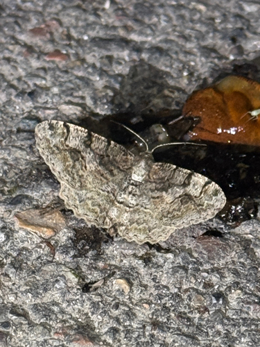
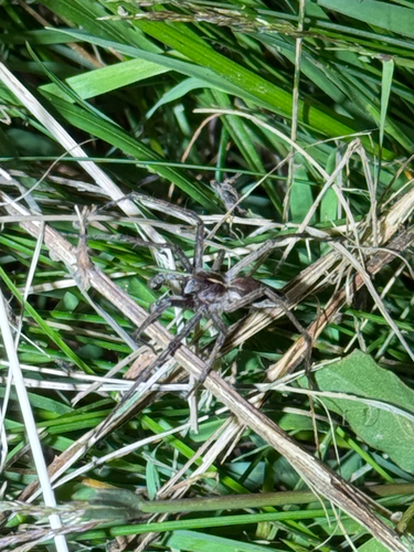
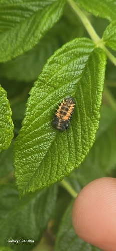

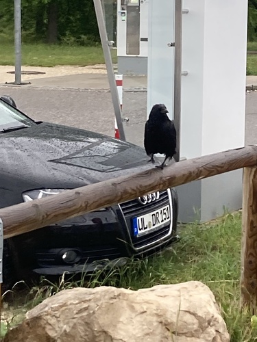

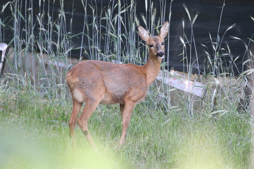
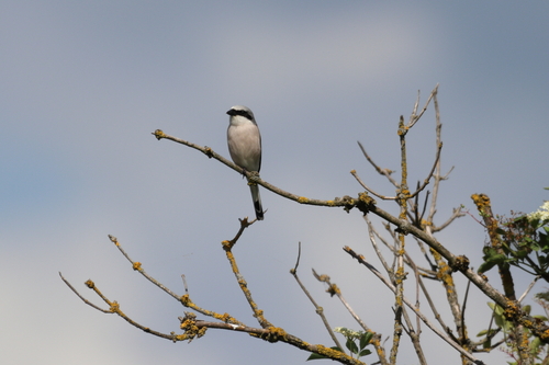
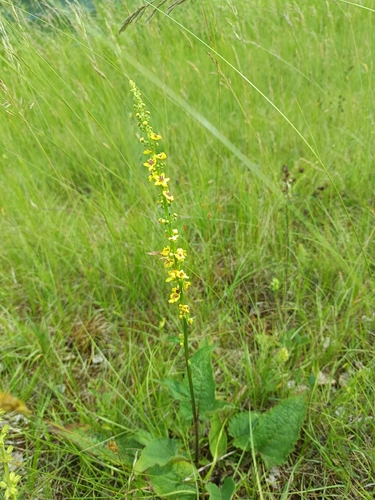
Research-grade observations from iNaturalist (within ~15 mi).
Events
Gallery
Sources
- • Wikipedia
- • Wikidata
- • USGS Earthquake Catalog (global feed)
- • GBIF (Global Biodiversity Information Facility)
- • iNaturalist