Browse / Germany / Bayern / Oberschneiding
Oberschneiding
Bayernvillage

Oberschneiding
Total population
2,776
Demographic figures from Destatis. Overview below cites Wikipedia and may reference a different year.
City facts
Facts from Wikidata (CC0).
Overview
Oberschneiding is a municipality in the district of Straubing-Bogen in Bavaria, Germany.
Read more on WikipediaHistory & geography
History
The area around Oberschneiding was a place being settled in the Neolithic about 5000 BC. Many discoveries of skeletons, sherds, and daub prove the existence of settlements from the Stone Age. Some of the findings are shown in the Gäubodenmuseum in Straubing. Oberschneiding was first mentioned in records in 790 AD. The "Brevivarius Urolfi", a document written in the monastery of Niederaltaich, names a village called "Snudinga". This name - like all Bavarian towns that end on ing - goes back to the leader of the clan that founded the settlement, Snudo. The name changed from Snudinga to "Schneiding" in the following centuries. Today it is not quite clear which town was mentioned in the document because there are two settlements called "Schneiding": Oberschneiding (=upper Schneiding) and Niederschneiding (=lower Schneiding).
Excerpted from the corresponding Wikipedia article (CC BY-SA).
Geography
Coordinates & boundaries from the US Census TIGER/Line shapefiles.
Climate
Air quality
Walkability
Amenities nearby
Wildlife & biodiversity
Most-observed species
- Eurasian BlackbirdTurdus merula Linnaeus, 1758 · Aves400
- Great TitParus major Linnaeus, 1758 · Aves398
- MallardAnas platyrhynchos Linnaeus, 1758 · Aves359
- Eurasian Blue TitCyanistes caeruleus (Linnaeus, 1758) · Aves345
- Carrion CrowCorvus corone Linnaeus, 1758 · Aves290
- Common ChaffinchFringilla coelebs Linnaeus, 1758 · Aves262
- Great Spotted WoodpeckerDendrocopos major (Linnaeus, 1758) · Aves248
- European RobinErithacus rubecula (Linnaeus, 1758) · Aves226
Citizen-science & research observations from the Global Biodiversity Information Facility (GBIF).
Earthquake history
Most recent
- M 3.8 — 2008-08-126 km SE of Maria Schmolln, Austria
- M 2.8 — 2008-08-062 km SE of Schalchen, Austria
- M 3.8 — 2005-10-061 km S of Ranshofen, Austria
- M 2.5 — 2002-03-102 km NNE of Waldmünchen, Germany
- M 2.5 — 2001-08-302 km SW of Breitenbrunn, Germany
Events from the USGS Earthquake Catalog (global) (FDSN Event Web Service).
Photos
Sights & places nearby
Notable people from here
Nearby places in Bayern
Geography & sun
Elevation, sunrise/sunset and daylight from Open-Meteo. Solar climatology from NASA POWER.
Nearby airports
Public attention
Pageview totals from the Wikimedia Pageviews API.
Books about Oberschneiding
Search results from Open Library.
Recent natural events nearby
Ground air-quality sensors
Recently spotted species
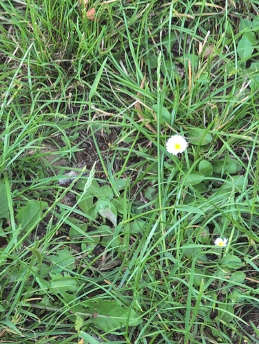
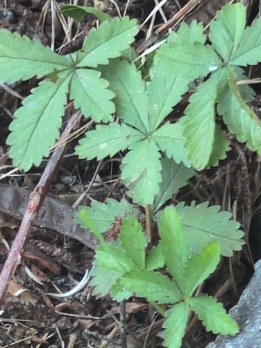
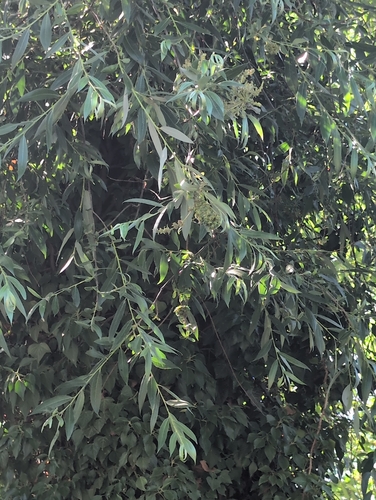
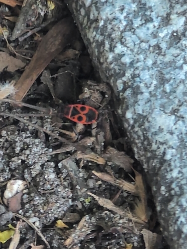

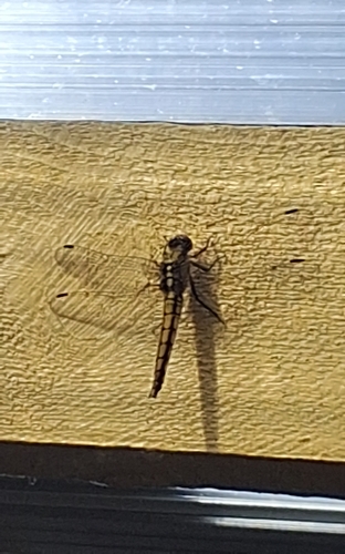
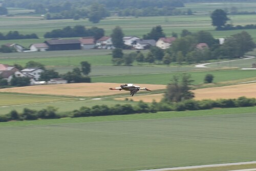

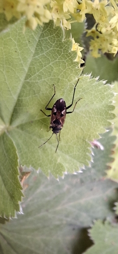
Research-grade observations from iNaturalist (within ~15 mi).
Events
Gallery
Official Identifiers
Destatis — German Federal Statistical Office
- AGS
- 09278167
- Population (Wikidata)
- 3,297
- Wikidata
- Q547257
Amtlicher Gemeindeschlüssel (AGS) via Wikidata P439
Sources
- • Wikipedia
- • Wikidata
- • USGS Earthquake Catalog (global feed)
- • GBIF (Global Biodiversity Information Facility)
- • iNaturalist
- • Open-Meteo / sunrise-sunset.org
- • Wikipedia Pageviews API
- • Open Library
- • Destatis — German Federal Statistical Office — Amtlicher Gemeindeschlüssel (AGS) via Wikidata P439