Browse / Germany / Baden-Württemberg / Offenburg
Offenburg
Baden-Württembergtown

Offenburg
Total population
58,769
Founded
1148
Air quality index
Demographic figures from Destatis. Overview below cites Wikipedia and may reference a different year.
City facts
Facts from Wikidata (CC0).
Overview
Offenburg is a city in the state of Baden-Württemberg, in south-western Germany. With nearly 60,000 inhabitants (2019), it is the largest city and the administrative capital of the Ortenaukreis.
Read more on WikipediaHistory & geography
History
In recent times the remains of Roman settlements have been found within the city's territory. Offenburg was first mentioned in historical documents dating back to 1148. Offenburg had already been declared a Free Imperial City by 1240. In September 1689, the city - with the exception of two buildings - was totally destroyed by the French during the Nine Years War. Due to Napoleon's dissolution of the Holy Roman Empire in 1803 and subsequent reorganization of the German states, Offenburg lost its status as a Free Imperial City and fell under the rule of the Grand Duchy of Baden. During the outbreak of the Revolutions of 1848, the "Offenburger Programm" which consisted of thirteen demands "in the name of the people of Baden", was put forward at the Salmen Inn on 12 September 1847. This was the first known demand for democracy in Germany. Along with the Carlsbad Decrees, the Offenburger Program demanded basic and human rights as well as freedom of the press and a progressive income tax structure. On 19 March 1848 the demands were confirmed by the 20,000 member Offenburg Peoples' Assembly. During World War I Offenburg was one of the first cities to experience the effects of aerial bombardment, the operations against Offenburg railway sidings were mostly flown by aircraft from the Independent Force from Ochey aerodrome. It is mostly neglected, that in the aftermath of World War I, during the Occupation of the Rhineland, French troops occupied Offenburg, because it fell within the perimeter of the Kehl bridgehead. The French occupation forces entered the town in February 1923 and remained until 1924, blocking all traffic on the Rhine Valley Railway between Offenburg and Appenweier. Following the rise to power of the NSDAP in the 1930s, Offenburg's Jewish population fell…
Geography
Offenburg is located approximately 15 km east of the river Rhine between Karlsruhe and Freiburg. The French city of Strasbourg lies 20 km northwest across the Rhine. Offenburg is situated at the mouth of the Kinzig river valley and at the foot of the Black Forest. The Kinzig flows out of the Black Forest and meets the Rhine near Kehl. Köppen climate classification classifies its climate as oceanic (Cfb). Marine features are limited however, as a result of its vast distance from oceans and seas. Winters are cool, sometimes with night frosts. Precipitation mostly falls in summer months.
Excerpted from the corresponding Wikipedia article (CC BY-SA).
Geography
Coordinates & boundaries from the US Census TIGER/Line shapefiles.
Climate
Air quality
Current readings from Open-Meteo Air Quality API (Copernicus CAMS European reanalysis).
Walkability
Amenities nearby
Wildlife & biodiversity
Most-observed species
- Eurasian BlackbirdTurdus merula Linnaeus, 1758 · Aves1,853
- Great TitParus major Linnaeus, 1758 · Aves1,723
- Carrion CrowCorvus corone Linnaeus, 1758 · Aves1,710
- House SparrowPasser domesticus (Linnaeus, 1758) · Aves1,449
- Zoropsid spiderZoropsis spinimana (Dufour, 1820) · Arachnida1,424
- Eurasian Blue TitCyanistes caeruleus (Linnaeus, 1758) · Aves1,414
- Common Wood-PigeonColumba palumbus Linnaeus, 1758 · Aves1,384
- Mute SwanCygnus olor (J.F.Gmelin, 1789) · Aves1,377
Citizen-science & research observations from the Global Biodiversity Information Facility (GBIF).
Earthquake history
Most recent
- M 3.5 — 2024-06-271 km SSW of Todtmoos, Germany
- M 3.4 — 2022-10-16Baden-Wurttemberg, Germany
- M 3.9 — 2022-09-101 km WSW of Zimmersheim, France
- M 4 — 2022-07-092 km NNE of Grosselfingen, Germany
- M 4.1 — 2021-06-262 km SE of Hœrdt, France
- M 3.1 — 2018-05-042 km W of Schliengen, Germany
Events from the USGS Earthquake Catalog (global) (FDSN Event Web Service).
Photos
Sights & places nearby
Notable people from here


People born within ~10 km, from Wikidata (CC0). Click any name for their Wikipedia article.
Nearby places in Baden-Württemberg
- Ebersweier3.3 mi away · pop. 1,230
- Odelshofen6.7 mi away
- Legelshurst7.1 mi away
- Kork7.5 mi away
- Obersasbach13.5 mi away
- Memprechtshofen14.8 mi away
- Unzhurst15.9 mi away
- Ettenheim16 mi away · pop. 11,950
- Helmlingen16.5 mi away
- Scherzheim16.8 mi away
- Bühl17.8 mi away · pop. 28,566
- Grauelsbaum18.5 mi away · pop. 600
Geography & sun
Elevation, sunrise/sunset and daylight from Open-Meteo. Solar climatology from NASA POWER.
Nearby airports
Public attention
Pageview totals from the Wikimedia Pageviews API.
Books about Offenburg
Search results from Open Library.
Recent natural events nearby
Ground air-quality sensors
Recently spotted species
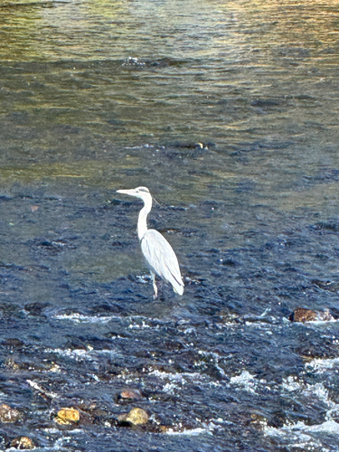
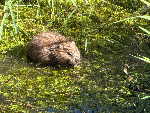
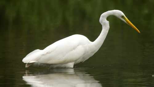
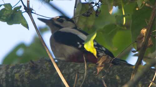
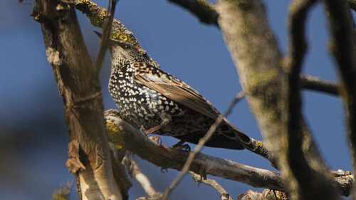
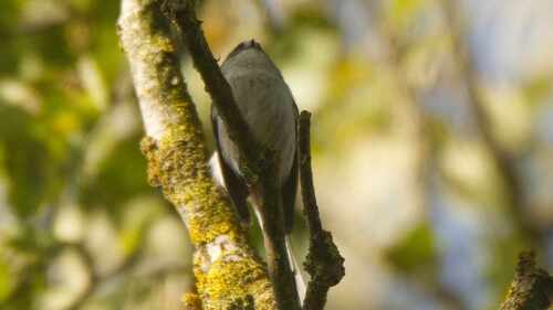
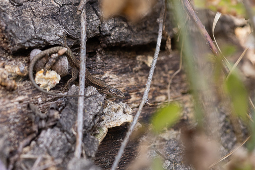

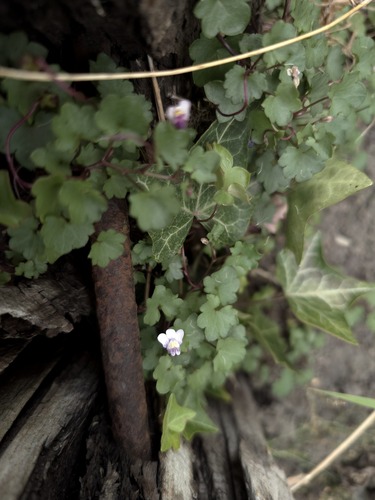
Research-grade observations from iNaturalist (within ~15 mi).
Events
Notable, recurring, and historical events associated with Offenburg, sourced from Wikidata.
- Bambi Award 2008Nov 27, 2008award ceremony
- Bambi Award 1987Dec 10, 1987award ceremony
Source: Wikidata (CC0).
Gallery
Geotagged photos within ~6 miles of Offenburg, from Wikimedia Commons contributors.
.JPG)


.JPG)

.jpg)


.jpg)


Photos via Wikimedia Commons — see each image page for license & attribution.
Official Identifiers
Destatis — German Federal Statistical Office
- AGS
- 08317096
- Population (Wikidata)
- 62,195
- Wikidata
- Q4044
Amtlicher Gemeindeschlüssel (AGS) via Wikidata P439
Sources
- • Wikipedia
- • Wikimedia Commons
- • Wikidata
- • Open-Meteo Air Quality (CAMS)
- • USGS Earthquake Catalog (global feed)
- • GBIF (Global Biodiversity Information Facility)
- • iNaturalist
- • Open-Meteo / sunrise-sunset.org
- • Wikipedia Pageviews API
- • Open Library
- • Wikidata SPARQL (CC0) — population, area, elevation, inception, head of government, Commons image
- • Destatis — German Federal Statistical Office — Amtlicher Gemeindeschlüssel (AGS) via Wikidata P439