Browse / Germany / Bayern / Passau
Passau
Bayerntown

Passau
Total population
54,401
Demographic figures from Destatis. Overview below cites Wikipedia and may reference a different year.
City facts
Sister cities
Facts from Wikidata (CC0).
Overview
Passau is a city in Lower Bavaria, Germany. It is also known as the Dreiflüssestadt, as the river Danube is joined by the Inn from the south and the Ilz from the north.
Read more on WikipediaHistory & geography
History
In the 2nd century BC, many of the Boii tribe were pushed north across the Alps out of northern Italy by the Romans. They established a new capital called Boiodurum by the Romans (from Gaulish ), now within the Innstadt district of Passau. Passau was an ancient Roman colony called Batavis, Latin for "for the Batavi". The Batavi were an ancient Germanic tribe from area of the Rhine delta who frequently served in the Roman army as auxiliary troops. Batavis (Passau-Altstadt) was a Roman castrum in the province of Raetia, while another late Roman castrum, Boiotro (Passau-Innstadt), was in the province of Noricum. During the second half of the 5th century, St. Severinus established a monastery here. The site was subject to repeated raids by the Alemanni. In 739, the recently consecrated English archbishop Boniface founded the diocese of Passau, which for many years was the largest diocese of the German Kingdom/Holy Roman Empire, covering territory in southern Bavaria and most of what is now Upper and Lower Austria. From the 10th century the bishops of Passau also exercised secular authority as Prince-Bishops in the immediate area around Passau (see ). Before the Holocaust, there was a small Jewish community present in Passau, with Jews being mentioned as early as the 10th century. In the Treaty of Passau (1552), Archduke Ferdinand I, representing Emperor Charles V, secured the agreement of the Protestant princes to submit the religious question to a diet. This led to the Peace of Augsburg in 1555. During the Renaissance and early modern period, Passau was one of the most prolific centres of sword and bladed weapon manufacture in Germany (after Solingen). Passau smiths stamped their blades with the Passau wolf, usually a rather simplified rendering of the wolf…
Excerpted from the corresponding Wikipedia article (CC BY-SA).
Geography
Coordinates & boundaries from the US Census TIGER/Line shapefiles.
Climate
10-year averages from ERA5 reanalysis (Open-Meteo).
Air quality
Walkability
Amenities nearby
Wildlife & biodiversity
Earthquake history
Photos
Sights & places nearby
Notable people from here
Nearby places in Bayern
Geography & sun
Elevation, sunrise/sunset and daylight from Open-Meteo. Solar climatology from NASA POWER.
Nearby airports
Public attention
Pageview totals from the Wikimedia Pageviews API.
Books about Passau


Search results from Open Library.
Recent natural events nearby
Ground air-quality sensors
Recently spotted species
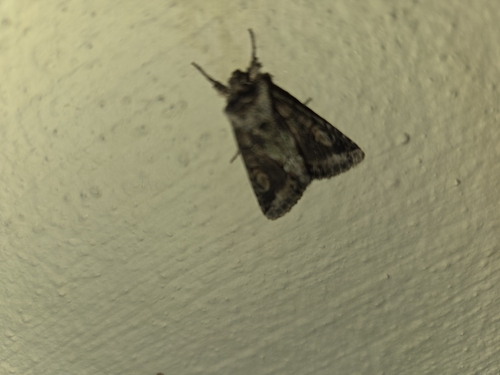
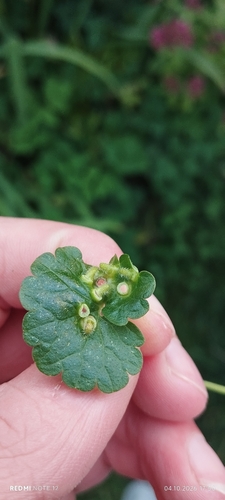
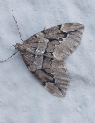
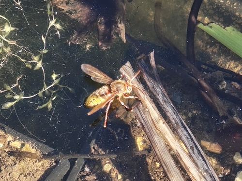
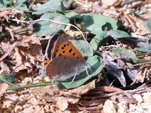

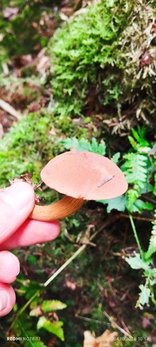
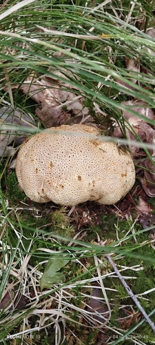
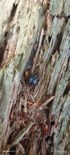
Research-grade observations from iNaturalist (within ~15 mi).
Events
Gallery
Official Identifiers
Destatis — German Federal Statistical Office
- AGS
- 09262000
- Population (Wikidata)
- 54,401
- Wikidata
- Q4190
Amtlicher Gemeindeschlüssel (AGS) via Wikidata P439
Sources
- • Wikipedia
- • Open-Meteo (ERA5 reanalysis)
- • Wikidata
- • iNaturalist
- • Open-Meteo / sunrise-sunset.org
- • Wikipedia Pageviews API
- • Open Library
- • Wikidata SPARQL (CC0) — population, area, elevation, inception, head of government, Commons image
- • Destatis — German Federal Statistical Office — Amtlicher Gemeindeschlüssel (AGS) via Wikidata P439