Browse / Germany / Bayern / Pfaffenhofen an der Roth
Pfaffenhofen an der Roth
Bayernvillage

Pfaffenhofen an der Roth
Total population
7,112
Air quality index
Demographic figures from Destatis. Overview below cites Wikipedia and may reference a different year.
City facts
Facts from Wikidata (CC0).
Overview
Pfaffenhofen an der Roth is a municipality and a village in the district of Neu-Ulm in Bavaria in Germany. Its most famous inhabitant was Hermann Köhl, an aviation pioneer of the 1920s.
Read more on WikipediaHistory & geography
Geography
The municipality is centered around the village of Pfaffenhofen an der Roth, located on the right bank of the river Roth, approximately 14 km southeast of the cities of Ulm and Neu-Ulm. Several smaller villages and localities are spread across the municipality, including Balmertshofen, Berg, Beuren, Biberberg, Diepertshofen, Erbishofen, Hirbishofen, Kadeltshofen, Luippen, Niederhausen, Raunertshofen, Remmeltshofen, Roth, Volkertshofen. The municipality is bordered by the municipalities of Neu-Ulm and Holzheim to the west, Nersingen to the north, Bibertal to the east, and Weißenhorn to the south. The landscape is predominantly rural, dominated by farmland and forests, corresponding to 76% and 19% of the land use respectively. Besides the Roth, the Leibi river also traverses the municipality at Hirbishofen.
Excerpted from the corresponding Wikipedia article (CC BY-SA).
Geography
Coordinates & boundaries from the US Census TIGER/Line shapefiles.
Climate
Air quality
Current readings from Open-Meteo Air Quality API (Copernicus CAMS European reanalysis).
Walkability
Amenities nearby
Wildlife & biodiversity
Most-observed species
- Eurasian BlackbirdTurdus merula Linnaeus, 1758 · Aves2,525
- Great TitParus major Linnaeus, 1758 · Aves2,009
- MallardAnas platyrhynchos Linnaeus, 1758 · Aves1,968
- Eurasian Blue TitCyanistes caeruleus (Linnaeus, 1758) · Aves1,957
- Carrion CrowCorvus corone Linnaeus, 1758 · Aves1,894
- House SparrowPasser domesticus (Linnaeus, 1758) · Aves1,669
- Common ChaffinchFringilla coelebs Linnaeus, 1758 · Aves1,390
- Gray/Purple HeronArdea cinerea Linnaeus, 1758 · Aves1,226
Citizen-science & research observations from the Global Biodiversity Information Facility (GBIF).
Earthquake history
Most recent
- M 3.4 — 2022-10-16Baden-Wurttemberg, Germany
- M 4 — 2022-07-092 km NNE of Grosselfingen, Germany
- M 3.1 — 2008-12-253 km NNW of Saulgau, Germany
- M 2.5 — 2008-12-122 km ESE of Nehren, Germany
- M 2.7 — 2008-07-091 km WSW of Dußlingen, Germany
- M 2.5 — 2008-07-032 km W of Dußlingen, Germany
Events from the USGS Earthquake Catalog (global) (FDSN Event Web Service).
Photos
Sights & places nearby
Notable people from here
Nearby places in Bayern
Geography & sun
Nearby airports
Public attention
Books about this place
Recent natural events nearby
Ground air-quality sensors
Recently spotted species
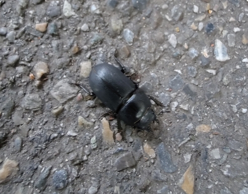
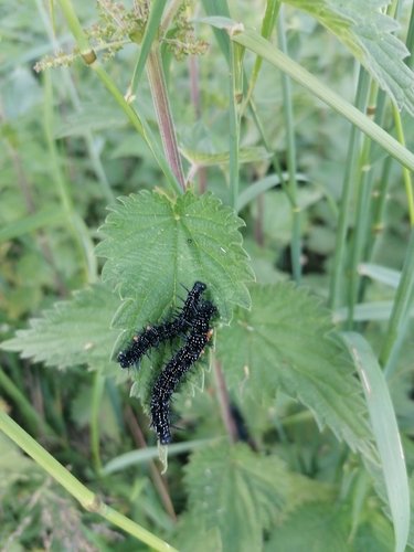
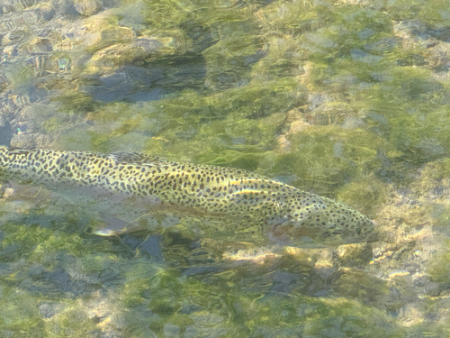
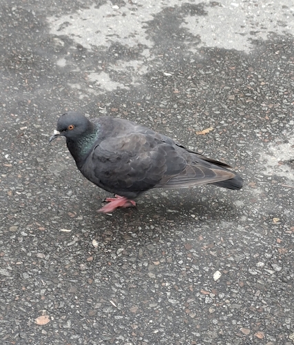

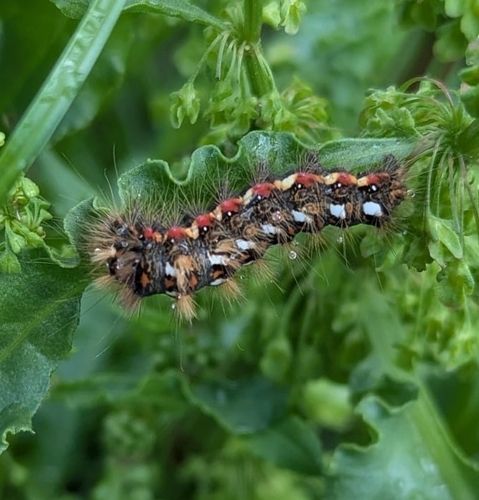



Research-grade observations from iNaturalist (within ~15 mi).
Events
Gallery
Geotagged photos within ~6 miles of Pfaffenhofen an der Roth, from Wikimedia Commons contributors.


.jpg)

Photos via Wikimedia Commons — see each image page for license & attribution.
Official Identifiers
Destatis — German Federal Statistical Office
- AGS
- 09775143
- Population (Wikidata)
- 7,412
- Wikidata
- Q628969
Amtlicher Gemeindeschlüssel (AGS) via Wikidata P439
Sources
- • Wikipedia
- • Wikimedia Commons
- • Wikidata
- • Open-Meteo Air Quality (CAMS)
- • USGS Earthquake Catalog (global feed)
- • GBIF (Global Biodiversity Information Facility)
- • iNaturalist
- • Wikidata SPARQL (CC0) — population, area, elevation, inception, head of government, Commons image
- • Destatis — German Federal Statistical Office — Amtlicher Gemeindeschlüssel (AGS) via Wikidata P439