Browse / Germany / Baden-Württemberg / Pforzheim
Pforzheim
Baden-Württembergcity

Pforzheim
Total population
117,754
Demographic figures from Destatis. Overview below cites Wikipedia and may reference a different year.
City facts
Sister cities
Facts from Wikidata (CC0).
Overview
Pforzheim is a city of over 135,000 inhabitants in the federal state of Baden-Württemberg, in the southwest of Germany.
Read more on WikipediaHistory & geography
History
It was settled by the Romans earlier than the current centers of Stuttgart and Karlsruhe were. These colonists constructed a ford through the river, shortly past the confluence of the three rivers, for their military highway. Due to this strategic location, Pforzheim later became a center for the timber-rafting trade, which transported timber from the Black Forest via the rivers Wuerm, Nagold, Enz and down the Neckar and Rhine to, among other markets, the Netherlands for use in shipbuilding. Their timbers were also used to construct the foundations for Amsterdam, which was built in a swamp. Since 90: A settlement was established by Roman citizens at the Enz River near the modern Altstädter Brücke (old town bridge). Archeological surveys have unearthed several artifacts of that period which are kept and displayed in the Kappelhof Museum. The settlement was located where the Roman military road connecting the military camp Argentoratum (nowadays Strasbourg in France) and the military camp at Cannstatt (now a suburb of Stuttgart) at the Upper Germanic Limes border line of the Roman Empire crossed the Enz river. This place was known as Portus (meaning "river crossing, harbor"), which is believed to be the origin of the first part of the city's name "Pforzheim". A Roman milestone (the so-called 'Leugenstein') from the year 245 was excavated in modern times at present-day Friolzheim; it is marked with the exact distance to 'Portus' and is the first documented evidence of the settlement. 259/260: The Roman settlement 'Portus' was destroyed completely, as the Frank and Alemanni tribes overran the Upper Germanic Limes border line of the Roman Empire and conquered the Roman administered area west of the Rhine River. From then on, over an extended period of time, historical…
Geography
Pforzheim is located at the northern rim of the eastern part of the Black Forest (Schwarzwald) and the rim of the hilly country of the Kraichgau, in an open valley at the confluences of the rivers Würm and Nagold, as well as the rivers Nagold and Enz. Due to its location, this city is also called the "three-valleys town" (Drei-Täler Stadt) or the "Gateway to the Black Forest" (Pforte zum Schwarzwald / Porta Hercynia). Pforzheim and its surrounding area belongs to the "Densely Populated Area Karlsruhe/Pforzheim". Pforzheim has the functions of a regional center (Mittelzentrum) for the towns and municipalities Birkenfeld (Enz), Eisingen, Engelsbrand, Friolzheim, Heimsheim, Ispringen, Kämpfelbach, Keltern, Kieselbronn, Königsbach-Stein, Mönsheim, Neuenbürg, Neuhausen, Neulingen, Niefern-Öschelbronn, Ölbronn-Dürrn, Remchingen, Straubenhardt, Tiefenbronn, Wiernsheim, Wimsheim and Wurmberg. The following towns and communities share borderlines with the City of Pforzheim. Below they are mentioned in clockwise order, beginning to the north of the city. Except for Unterreichenbach, which belongs to the district of Calw, all of them are part of the Enz district. Ispringen, Neulingen, Kieselbronn, Niefern-Öschelbronn, Wurmberg, Wimsheim, Friolzheim, Tiefenbronn, Neuhausen (Enz), Unterreichenbach, Engelsbrand, Birkenfeld (Enz), Keltern and Kämpfelbach. The city of Pforzheim consists of 16 city wards. The communities Büchenbronn, Eutingen an der Enz, Hohenwart, Huchenfeld and Würm, which by way of the latest regional administrative reform during the 1970s were incorporated into Pforzheim's administration, are represented by independent community councils and community administrations. In important matters concerning any of these communities the opinions of the respective…
Excerpted from the corresponding Wikipedia article (CC BY-SA).
Geography
Coordinates & boundaries from the US Census TIGER/Line shapefiles.
Climate
10-year averages from ERA5 reanalysis (Open-Meteo).
Air quality
Walkability
Amenities nearby
Wildlife & biodiversity
Most-observed species
- Eurasian BlackbirdTurdus merula Linnaeus, 1758 · Aves1,865
- Great TitParus major Linnaeus, 1758 · Aves1,811
- Zoropsid spiderZoropsis spinimana (Dufour, 1820) · Arachnida1,772
- Eurasian Blue TitCyanistes caeruleus (Linnaeus, 1758) · Aves1,663
- Common BuzzardButeo buteo (Linnaeus, 1758) · Aves1,593
- Carrion CrowCorvus corone Linnaeus, 1758 · Aves1,402
- European RobinErithacus rubecula (Linnaeus, 1758) · Aves1,326
- Common ChaffinchFringilla coelebs Linnaeus, 1758 · Aves1,311
Citizen-science & research observations from the Global Biodiversity Information Facility (GBIF).
Earthquake history
Most recent
- M 3.4 — 2022-10-16Baden-Wurttemberg, Germany
- M 4 — 2022-07-092 km NNE of Grosselfingen, Germany
- M 4.1 — 2021-06-262 km SE of Hœrdt, France
- M 2.5 — 2008-12-122 km ESE of Nehren, Germany
- M 2.8 — 2008-11-251 km S of Steinmauern, Germany
- M 2.7 — 2008-07-091 km WSW of Dußlingen, Germany
Events from the USGS Earthquake Catalog (global) (FDSN Event Web Service).
Photos
Sights & places nearby
Notable people from here


People born within ~10 km, from Wikidata (CC0). Click any name for their Wikipedia article.
Nearby places in Baden-Württemberg
Geography & sun
Elevation, sunrise/sunset and daylight from Open-Meteo. Solar climatology from NASA POWER.
Nearby airports
Public attention
Pageview totals from the Wikimedia Pageviews API.
Books about Pforzheim

Search results from Open Library.
Recent natural events nearby
Ground air-quality sensors
Recently spotted species
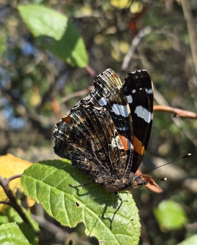
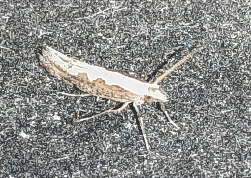
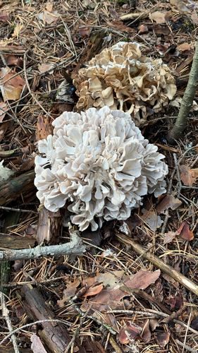
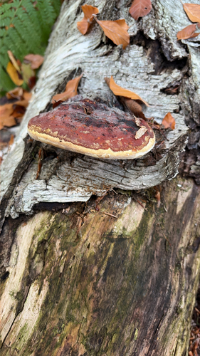
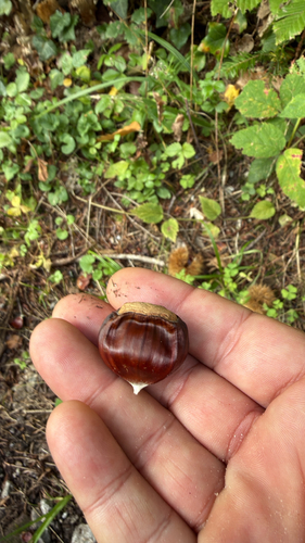
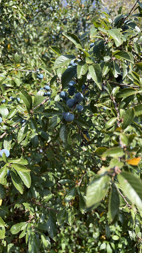
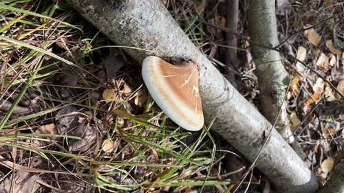
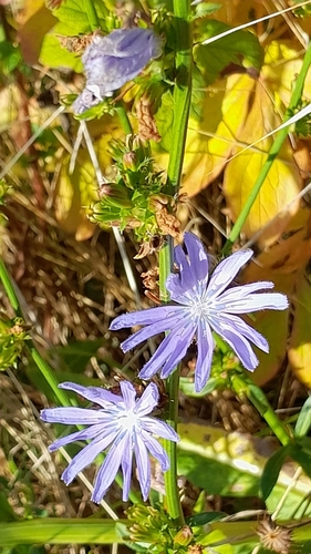
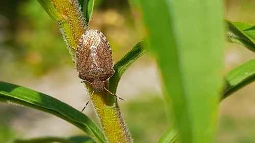
Research-grade observations from iNaturalist (within ~15 mi).
Events
Notable, recurring, and historical events associated with Pforzheim, sourced from Wikidata.
Source: Wikidata (CC0).
Gallery
Geotagged photos within ~6 miles of Pforzheim, from Wikimedia Commons contributors.


_von_Fritz_Nuss_-_Horchender_-_panoramio.jpg)


,_Park-Hotel.jpg)


_Grabplatte_des_Heinrich_Truchse%C3%9F_von_H%C3%B6fingen._Im_s%C3%BCdlichen_Nebenchor.jpg)
_Grabplatte_Heinrich_Truchse%C3%9F_von_H%C3%B6fingen._Im_s%C3%BCdlichen_Nebenchor.jpg)
Photos via Wikimedia Commons — see each image page for license & attribution.
Official Identifiers
Destatis — German Federal Statistical Office
- AGS
- 08231000
- Population (Wikidata)
- 128,992
- Wikidata
- Q3046
Amtlicher Gemeindeschlüssel (AGS) via Wikidata P439
Sources
- • Wikipedia
- • Open-Meteo (ERA5 reanalysis)
- • Wikimedia Commons
- • Wikidata
- • USGS Earthquake Catalog (global feed)
- • GBIF (Global Biodiversity Information Facility)
- • iNaturalist
- • Open-Meteo / sunrise-sunset.org
- • Wikipedia Pageviews API
- • Open Library
- • Wikidata SPARQL (CC0) — population, area, elevation, inception, head of government, Commons image
- • Destatis — German Federal Statistical Office — Amtlicher Gemeindeschlüssel (AGS) via Wikidata P439