Browse / Germany / Bayern / Pliening
Pliening
Bayernvillage

Pliening
Total population
2,618
Demographic figures from Destatis. Overview below cites Wikipedia and may reference a different year.
City facts
Facts from Wikidata (CC0).
Overview
Pliening is a community east of Munich in the northwest of the district of Ebersberg in the Regierungsbezirk of Upper Bavaria, Germany. In the local dialect, the name is pronounced Pleaning. It has flourished in recent decades, partly as a commuter base for Munich, located some 20 km to the west. The official population level had reached 5,263 by 2006.
Read more on WikipediaHistory & geography
History
Sporadic prehistoric finds in the community point to the area's having been settled since the New Stone Age. In the Bronze Age a small settlement arose on a strip of grassland between the woods in the community's south end and the moor in the north. Sheep raising was the settlers’ main livelihood. The later settlement – between 850 BC and AD 50 – is believed to have been established by the Celtic Hallstatt culture, which has been shown by ceramic finds. As this settlement developed, the at first loose structure shifted to a much tighter village structure. After southern Germany was conquered by the Romans about AD 50, the area became part of the Roman Empire. Some finds in the area also point to a Roman presence. The Völkerwanderung, beginning about AD 400, brought with it new settlers: the Germanic stock of the Bavarii put down roots here. Also, a small Alemannic tribe settled in the area. Results of aerial archaeological photography show loose, scattered settlement. Under Gothic rule, political relations stabilized. The noble alemannic tribal leader Pleonunc became his village's namesake. The three “original yards” (Urhöfe) of Sellmayr, Wunsam and Wolfram stem from Pleonunc's time. About 700, the area was Christianized. The first church was built about 1000. Pliening grew out of the yard at Gelting. Until some time in the 14th century, it was called "Moospliening" to distinguish it from the older "Kirchpliening". Over time, the placename "Pliening" came to be used ever more often for the more westerly of the two places. Lying advantageously on the road between Erding and Munich, the community saw quick development in modern times. Currently, a ringroad around Gelting, Pliening and Landsham is being planned, which has unsettled retailers in the community of…
Excerpted from the corresponding Wikipedia article (CC BY-SA).
Geography
Coordinates & boundaries from the US Census TIGER/Line shapefiles.
Climate
Air quality
Walkability
Amenities nearby
Wildlife & biodiversity
Earthquake history
Photos
Sights & places nearby
Notable people from here


People born within ~10 km, from Wikidata (CC0). Click any name for their Wikipedia article.
Nearby places in Bayern
- Finsingerau2.2 mi away
- Lüßwiesen2.4 mi away
- Parsdorf3.9 mi away
- Ottendichl5.5 mi away
- Neukeferloh7.2 mi away
- Mintraching-Grüneck9.8 mi away · pop. 2,039
- Achering11.1 mi away
- Massenhausen12.8 mi away · pop. 1,000
- Schlacht13.4 mi away
- Hörenzhausen13.4 mi away
- Giggenhausen13.5 mi away · pop. 636
- Hetzenhausen13.7 mi away
Geography & sun
Elevation, sunrise/sunset and daylight from Open-Meteo. Solar climatology from NASA POWER.
Nearby airports
Public attention
Pageview totals from the Wikimedia Pageviews API.
Books about this place
Recent natural events nearby
Ground air-quality sensors
Recently spotted species
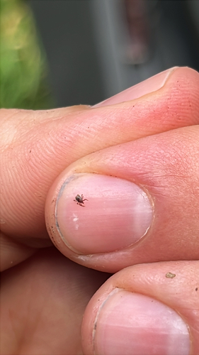
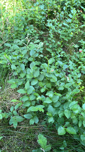
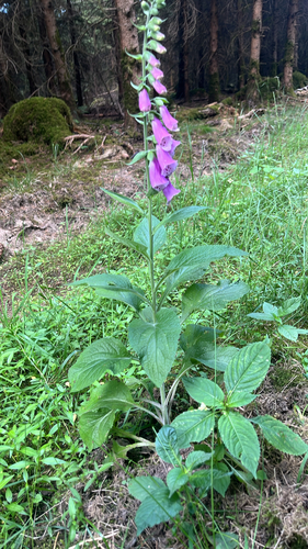
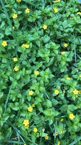


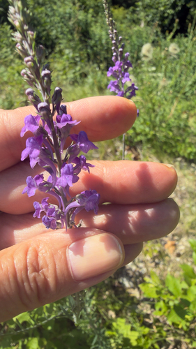
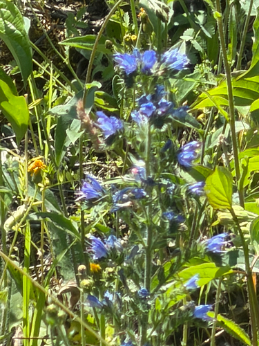
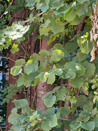
Research-grade observations from iNaturalist (within ~15 mi).
Events
Gallery
Geotagged photos within ~6 miles of Pliening, from Wikimedia Commons contributors.
 0.1 mi
 0.1 mi
 0.1 mi
 0.1 mi
 0.1 mi
 0.1 mi
 0.1 mi
_1.jpg) 0.1 mi
0.1 mi 0.2 mi
 0.2 mi
_2.jpg) 0.2 mi
0.2 mi 0.2 mi
 0.2 mi
 0.2 mi
 0.2 mi
 0.2 mi
 0.2 mi
 0.2 mi
 0.2 mi
 0.2 mi
 0.3 mi
 0.3 mi
_Grisaillefresko_1.jpg) 0.3 mi
0.3 mi_Chor-Hauptfresko.jpg) 0.3 mi
0.3 miPhotos via Wikimedia Commons — see each image page for license & attribution.
Official Identifiers
Destatis — German Federal Statistical Office
- AGS
- 09175133
- Population (Wikidata)
- 5,982
- Wikidata
- Q521701
Amtlicher Gemeindeschlüssel (AGS) via Wikidata P439
Sources
- • Wikipedia
- • Wikimedia Commons
- • Wikidata
- • iNaturalist
- • Open-Meteo / sunrise-sunset.org
- • Wikipedia Pageviews API
- • Destatis — German Federal Statistical Office — Amtlicher Gemeindeschlüssel (AGS) via Wikidata P439