Browse / Germany / Brandenburg / Potsdam
Potsdam
Brandenburgcity

Potsdam
Total population
178,089
Demographic figures from Destatis. Overview below cites Wikipedia and may reference a different year.
City facts
Facts from Wikidata (CC0).
Overview
Potsdam is the capital and largest city of the German state of Brandenburg. It is part of the Berlin/Brandenburg Metropolitan Region. Potsdam sits on the River Havel, a tributary of the Elbe, downstream of Berlin, and lies embedded in a hilly morainic landscape dotted with many lakes, around 20 of which are located within Potsdam's city limits. It lies some 25 kilometres southwest of Berlin's city centre. The name of the city and of many of its boroughs are of Slavic origin.
Read more on WikipediaHistory & geography
History
The area around Potsdam shows signs of occupancy since the Bronze Age and was part of Magna Germania as described by Tacitus. After the great migrations of the Germanic peoples, Slavs moved in and Potsdam was probably founded after the 7th century as a settlement of the Hevelli tribe centred on a castle. It was first mentioned in a document in 993 as Poztupimi, when Emperor Otto III gifted the territory to the Quedlinburg Abbey, then led by his aunt Matilda. {|class="wikitable" style="text-align: center;" style="margin: 1em auto 1em auto" |- |Angermünde||Beeskow-Storkow (as of 1836)||East Havelland||East Prignitz |- |Jüterbog-Luckenwalde||Lower Barnim||Prenzlau||Ruppin |- |Teltow (as of 1836)||Teltow-Storkow (until 1835)||Templin||Upper Barnim |- |colspan="1"|West Havelland||West Prignitz||Zauch-Belzig|| |} The traditional towns in the governorate were small, however, in the course of the industrial labour migration some reached the rank of urban districts. The principal towns were Brandenburg upon Havel, Köpenick, Potsdam, Prenzlau, Spandau and Ruppin. Until 1875 Berlin also was a town within the governorate. After its disentanglement a number of its suburbs outside Berlin's municipal borders grew to towns, many forming urban Bezirke within the governorate of Potsdam such as Charlottenburg, Lichtenberg, Rixdorf (after 1912 Neukölln), and Schöneberg (all of which, as well as Köpenick and Spandau, incorporated into Greater Berlin in 1920). The urban Bezirke were (years indicating the elevation to rank of urban Bezirk or affiliation with Potsdam governorate, respectively): {|class="wikitable" style="text-align: center;" style="margin: 1em auto 1em auto" |- |Berlin (1822–1875)||Brandenburg/Havel (as of 1881)||Charlottenburg (1877–1920)||Eberswalde (as of 1911) |-…
Geography
The area was formed from a series of large moraines left after the last glacial period. Today, only one quarter of the city is built up, the rest remaining as green space. There are about 20 lakes and rivers in and around Potsdam, such as the Havel, the Griebnitzsee, Templiner See, Tiefer See, Jungfernsee, Teltowkanal, Heiliger See, and Sacrower See. The highest point is the Kleiner Ravensberg. Potsdam is divided into seven historic city Stadtteile (quarters) and nine new Ortsteile (suburbs/wards, former separate villages), which joined the city in 2003. The appearance of the city boroughs is quite different. Those in the north and in the centre consist mainly of historical buildings, the south of the city is dominated by larger areas of newer buildings. The city of Potsdam is divided into 32 Stadtteile (boroughs, both quarters and suburbs/wards together), which are divided further into 84 statistical Bezirke (districts). Today, one distinguishes between the older parts of the city (areas of the historic city and places suburbanized at the latest in 1939) – these are the city center, the western and northern suburbs, Bornim, Bornstedt, Nedlitz, Potsdam South, Babelsberg, Drewitz, Stern and Kirchsteigfeld – and those communities incorporated after 1990 which have since 2003 become Ortsteile – these are Eiche, Fahrland, Golm, Groß Glienicke, Grube, Marquardt, Neu Fahrland, Satzkorn and Uetz-Paaren. The new Ortsteile are located mainly in the north of the city. For the history of all incorporations, see the relevant section on incorporation and spin-offs. Structure with statistical numbering: * 1 Potsdam Nord ** 11 Bornim ** 12 Nedlitz ** 13 Bornstedt ** 14 Sacrow ** 15 Eiche ** 16 Grube ** 17 Golm * 2 Nördliche Vorstädte ** 21 Nauener Vorstadt ** 22 Jägervorstadt…
Excerpted from the corresponding Wikipedia article (CC BY-SA).
Geography
Coordinates & boundaries from the US Census TIGER/Line shapefiles.
Climate
Air quality
Walkability
Amenities nearby
Wildlife & biodiversity
Most-observed species
- Hooded CrowCorvus cornix Linnaeus, 1758 · Aves7,963
- Common Wood-PigeonColumba palumbus Linnaeus, 1758 · Aves6,356
- Great TitParus major Linnaeus, 1758 · Aves5,491
- Eurasian BlackbirdTurdus merula Linnaeus, 1758 · Aves5,338
- House SparrowPasser domesticus (Linnaeus, 1758) · Aves5,006
- MallardAnas platyrhynchos Linnaeus, 1758 · Aves4,418
- Eurasian Blue TitCyanistes caeruleus (Linnaeus, 1758) · Aves4,193
- Great Spotted WoodpeckerDendrocopos major (Linnaeus, 1758) · Aves3,821
Citizen-science & research observations from the Global Biodiversity Information Facility (GBIF).
Earthquake history
Events from the USGS Earthquake Catalog (global) (FDSN Event Web Service).
Photos
Sights & places nearby
Notable people from here


People born within ~10 km, from Wikidata (CC0). Click any name for their Wikipedia article.
Nearby places in Brandenburg
Geography & sun
Elevation, sunrise/sunset and daylight from Open-Meteo. Solar climatology from NASA POWER.
Nearby airports
Public attention
Pageview totals from the Wikimedia Pageviews API.
Books about this place
Recent natural events nearby
Ground air-quality sensors
Recently spotted species
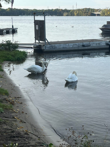
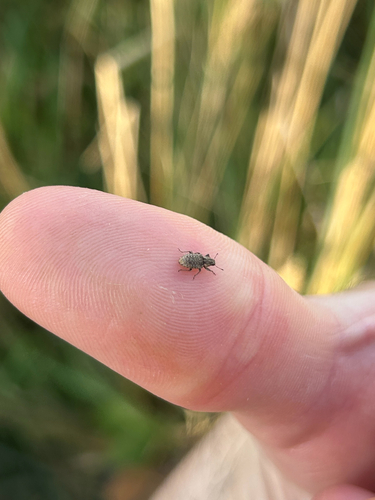
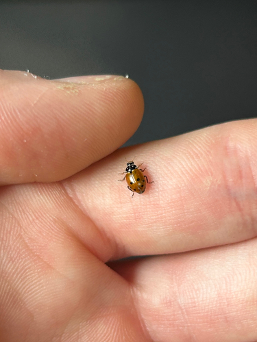
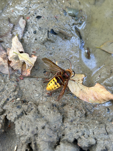
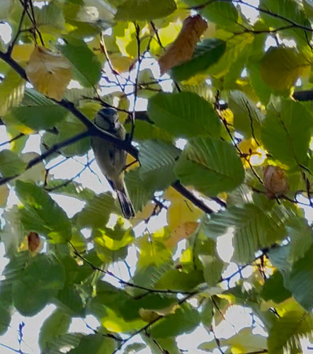
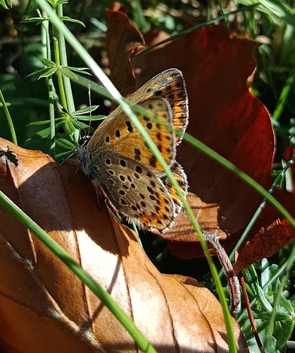
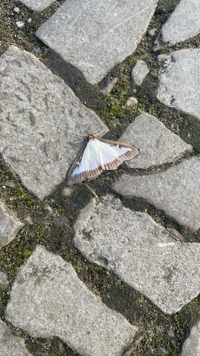
Research-grade observations from iNaturalist (within ~15 mi).
Events
Gallery
Official Identifiers
Destatis — German Federal Statistical Office
- AGS
- 12054000
- Population (Wikidata)
- 187,119
- Wikidata
- Q1711
Amtlicher Gemeindeschlüssel (AGS) via Wikidata P439
Sources
- • Wikipedia
- • Wikidata
- • USGS Earthquake Catalog (global feed)
- • GBIF (Global Biodiversity Information Facility)
- • iNaturalist
- • Open-Meteo / sunrise-sunset.org
- • Wikipedia Pageviews API
- • Wikidata SPARQL (CC0) — population, area, elevation, inception, head of government, Commons image
- • Destatis — German Federal Statistical Office — Amtlicher Gemeindeschlüssel (AGS) via Wikidata P439