Browse / Germany / Baden-Württemberg / Rastatt
Rastatt
Baden-Württembergtown

Rastatt
Total population
47,110
Demographic figures from Destatis. Overview below cites Wikipedia and may reference a different year.
City facts
Sister cities
Facts from Wikidata (CC0).
Overview
Rastatt is a town in the district of Rastatt, Baden-Württemberg, Germany. It is located in the Upper Rhine Plain, on the Murg River, 6 km (3.7 mi) above its junction with the Rhine. It has a Baroque core and a population of around 51,000 (2022). Rastatt was an important place during the War of the Spanish Succession and the Revolutions of 1848 in the German states.
Read more on WikipediaHistory & geography
History
Until the end of the 17th century, Rastatt held little influence, but after its destruction by the French in 1689, it was rebuilt on a larger scale by Louis William, Margrave of Baden, the Imperial General in the Great Turkish War who was known popularly as Türkenlouis. It then remained the residence of the Margraves of Baden-Baden until 1771. It was the location of the First and Second Congress of Rastatt, the former giving rise to the Treaty of Rastatt while the second ended in failure in 1799. In the 1840s, Rastatt was surrounded by fortifications to form the Fortress of Rastatt. For about 20 years previous to 1866, it was occupied by the troops of the German Confederation. The Baden Revolution of 1849 began with a mutiny of soldiers at Rastatt in May 1849 under Ludwik Mieroslawski and Gustav Struve and ended there a few weeks later with the capture of the town by Prussia. (See The Revolutions of 1848 in the German states and History of Baden.) For some years, Rastatt was one of the strongest fortresses of the German Empire, but its fortifications were dismantled in 1890. In the same year, the town's railway station was relocated closer to the centre of Rastatt from a location that was outside the town walls but is now an industrial area. Between 1946 and 1954, about 20 major criminal proceedings (known as the Rastatt Trials) for crimes against foreign workers and prisoners in smaller camps of the National Socialist camp system in south-western Germany took place in front of the French Military Administration's Tribunal Général on the basis of Control Council Law No. 10, along with more than 2000 defendants. In 1992, a new Mercedes-Benz car factory started production in Rastatt.
Excerpted from the corresponding Wikipedia article (CC BY-SA).
Geography
Coordinates & boundaries from the US Census TIGER/Line shapefiles.
Climate
Air quality
Walkability
Amenities nearby
Wildlife & biodiversity
Earthquake history
Photos
Sights & places nearby
Notable people from here


People born within ~10 km, from Wikidata (CC0). Click any name for their Wikipedia article.
Nearby places in Baden-Württemberg
Geography & sun
Elevation, sunrise/sunset and daylight from Open-Meteo. Solar climatology from NASA POWER.
Nearby airports
Public attention
Pageview totals from the Wikimedia Pageviews API.
Books about Rastatt
Search results from Open Library.
Recent natural events nearby
Ground air-quality sensors
Recently spotted species
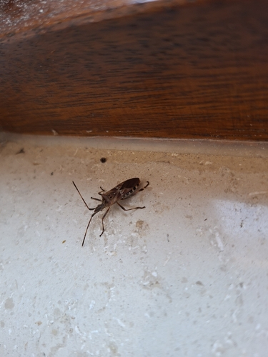
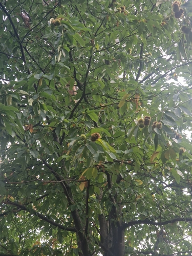
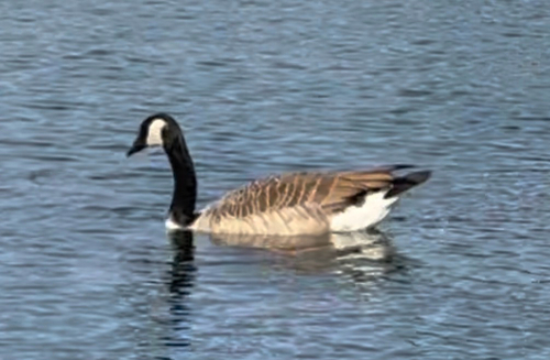
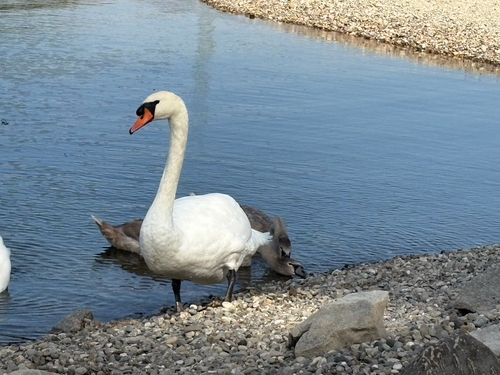
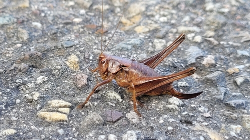
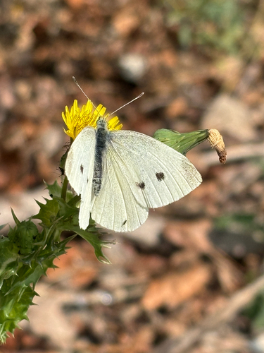
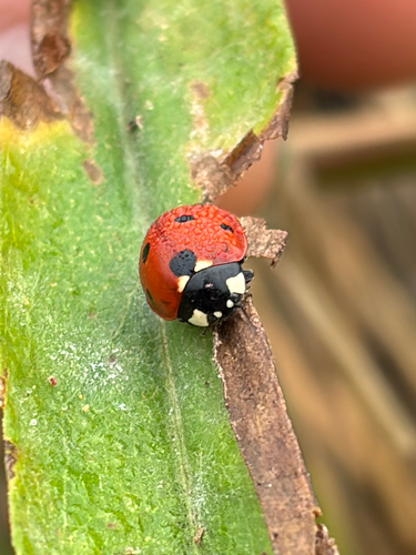
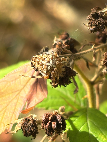
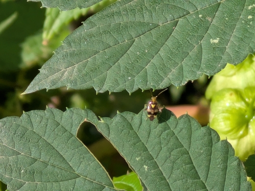
Research-grade observations from iNaturalist (within ~15 mi).
Events
Notable, recurring, and historical events associated with Rastatt, sourced from Wikidata.
Source: Wikidata (CC0).
Gallery
Geotagged photos within ~6 miles of Rastatt, from Wikimedia Commons contributors.


.jpg)


.jpg)
.jpg)
.jpg)
.jpg)
.jpg)
.jpg)
.jpg)
.jpg)

.jpg)
.jpg)
Photos via Wikimedia Commons — see each image page for license & attribution.
Official Identifiers
Destatis — German Federal Statistical Office
- AGS
- 08216043
- Population (Wikidata)
- 51,800
- Wikidata
- Q6874
Amtlicher Gemeindeschlüssel (AGS) via Wikidata P439
Sources
- • Wikipedia
- • Wikimedia Commons
- • Wikidata
- • iNaturalist
- • Open-Meteo / sunrise-sunset.org
- • Wikipedia Pageviews API
- • Open Library
- • Wikidata SPARQL (CC0) — population, area, elevation, inception, head of government, Commons image
- • Destatis — German Federal Statistical Office — Amtlicher Gemeindeschlüssel (AGS) via Wikidata P439