Browse / Germany / Bayern / Regensburg
Regensburg
Bayerncity

Regensburg
Total population
145,000
Air quality index
Demographic figures from Destatis. Overview below cites Wikipedia and may reference a different year.
City facts
Facts from Wikidata (CC0).
Overview
Regensburg is a city in eastern Bavaria, at the confluence of the rivers Danube, Naab and Regen, Danube's northernmost point. It is the capital of the Upper Palatinate subregion of the state. With more than 150,000 inhabitants, Regensburg is the fourth-largest city in the State of Bavaria after Munich, Nuremberg and Augsburg and the eighth-largest of all cities on the river Danube. From its foundation as an imperial Roman river fort, the city has been the political, economic, and cultural centre of the surrounding region. Later, under the rule of the Holy Roman Empire, it housed the Perpetual Diet of Regensburg.
Read more on WikipediaHistory & geography
History
The first settlements in the Regensburg area date from the Stone Age. The oldest Celtic name given to a settlement near Regensburg was Radasbona, a site where a Roman fort was built around AD 90. In 179, a major new Roman fort, called Castra Regina ("fortress by the river Regen"), was built for Legio III Italica during the reign of Emperor Marcus Aurelius. It was an essential camp at the most northerly point of the Danube; it corresponds to what is today the core of Regensburg's Old City or Altstadt east of the Obere and Untere Bachgasse and west of the Schwanenplatz. It is believed that as early as the late Roman period, the city was the seat of a bishop. From the early 6th century, Regensburg was the seat of the ruling family, the Agilolfings. From about 530 to the first half of the 13th century, it was the capital of Bavaria. The bishopric established by the Romans was re-established by St Boniface as the Bishopric of Regensburg in 739. In the late 8th century, Regensburg remained an important city during the reign of Charlemagne. In 792, Regensburg hosted the ecclesiastical section of Charlemagne's General Assembly, the bishops in council who condemned the heresy of the nontrinitarian adoptionism doctrine taught by their Spanish counterparts, Elipandus of Toledo and Felix of Urgell. After the partition of the Carolingian Empire in 843, the city became the seat of the Eastern Frankish ruler, Louis the German. Two years later, 14 Bohemian princes came to Regensburg to receive baptism there. This was the starting point of the Christianization of the Czechs, and the diocese of Regensburg became the mother diocese of that of Prague. These events had a wide impact on the cultural history of the Czech lands, as they were consequently part of the Roman Catholic and not…
Geography
Regensburg is situated on the northernmost part of the river Danube at the geological crossroads of four distinct landscapes: *to the north and northeast lies the Bavarian Forest with granite and gneiss mountains, wide forests and its national park *to the east and southeast is the fertile Danube plain (Gäuboden), which is a highly cultivated loess plain *the south is dominated by the Tertiary Hill Country, a continuation of Alpine Foreland *to the West is Franconian Jura Regensburg straddles the humid continental (Dfb) and oceanic (Cfb) climate zones under the Köppen climate classification. While the average temperature of during the period from 1971 to 2000 is slightly above the German average (), only 5 of the 80 cities in Germany with more than 100,000 inhabitants are colder. The average precipitation of per year ranges slightly below the German average (approximately ). For the more recent period from 1981 to 2010, the average temperature and precipitation rose to and , respectively. Although this increase in average temperature is evident in other cities as well, Regensburg still ranks fifth (shared with Ingolstadt and Kiel) in the ranking above. With a total of 1670 sunshine hours per year, Regensburg is roughly 120 hours above German average. The warmest month of the year, on average, is July. On average, the coolest month of the year is January.
Excerpted from the corresponding Wikipedia article (CC BY-SA).
Geography
Coordinates & boundaries from the US Census TIGER/Line shapefiles.
Climate
10-year averages from ERA5 reanalysis (Open-Meteo).
Air quality
Current readings from Open-Meteo Air Quality API (Copernicus CAMS European reanalysis).
Walkability
Amenities nearby
Wildlife & biodiversity
Most-observed species
- Eurasian BlackbirdTurdus merula Linnaeus, 1758 · Aves1,198
- Great TitParus major Linnaeus, 1758 · Aves1,107
- Eurasian MagpiePica pica (Linnaeus, 1758) · Aves910
- Eurasian Blue TitCyanistes caeruleus (Linnaeus, 1758) · Aves886
- Carrion CrowCorvus corone Linnaeus, 1758 · Aves886
- MallardAnas platyrhynchos Linnaeus, 1758 · Aves810
- Great Spotted WoodpeckerDendrocopos major (Linnaeus, 1758) · Aves742
- House SparrowPasser domesticus (Linnaeus, 1758) · Aves687
Citizen-science & research observations from the Global Biodiversity Information Facility (GBIF).
Earthquake history
Most recent
- M 3.2 — 2005-03-232 km SW of Bärnau, Germany
- M 2.6 — 2002-09-285 km SSW of Schwarzenbach, Germany
- M 2.5 — 2002-08-225 km SSE of Rain, Germany
- M 2.5 — 2002-03-102 km NNE of Waldmünchen, Germany
Events from the USGS Earthquake Catalog (global) (FDSN Event Web Service).
Photos
Sights & places nearby
Notable people from here


People born within ~10 km, from Wikidata (CC0). Click any name for their Wikipedia article.
Nearby places in Bayern
Geography & sun
Elevation, sunrise/sunset and daylight from Open-Meteo. Solar climatology from NASA POWER.
Nearby airports
Public attention
Pageview totals from the Wikimedia Pageviews API.
Books about Regensburg

Search results from Open Library.
Recent natural events nearby
Ground air-quality sensors
Recently spotted species
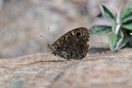
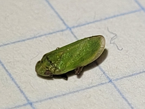
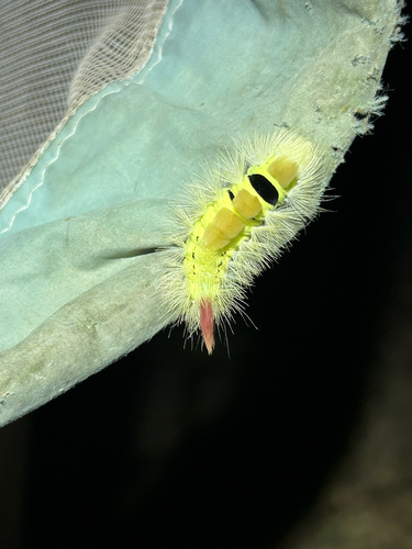
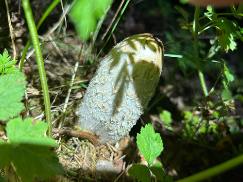
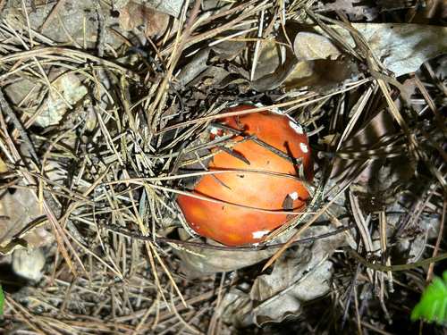
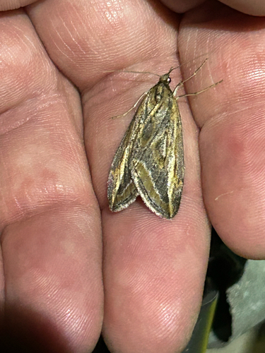
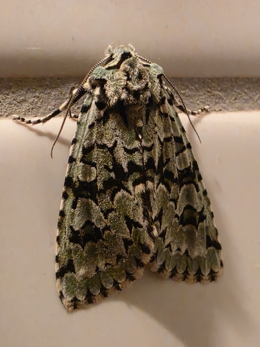
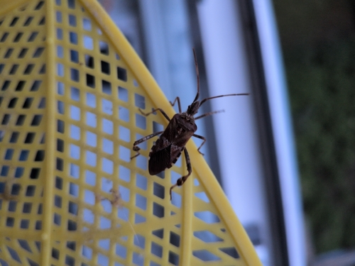
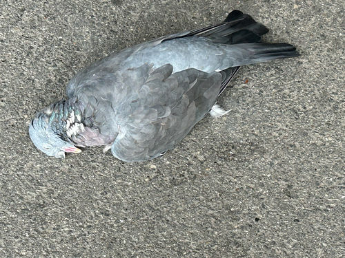
Research-grade observations from iNaturalist (within ~15 mi).
Events
Notable, recurring, and historical events associated with Regensburg, sourced from Wikidata.
- SMWCon Fall 2018Dec 12, 2018recurring event edition
conference of the Semantic MediaWiki community, December 2018, Regensburg, Germany
- 99. Deutscher KatholikentagMay 28, 2014recurring event edition
- Q133092402Sep 22, 2009recurring event edition
- Q110576229Jun 18, 2004recurring event edition
- Q135069046Jul 21, 2000planned event
- Bayerischer Nordgautagplanned event
- Q133092274Sep 17, 1961recurring event edition
- Q133092206Aug 31, 1925recurring event edition
- Jan 1, 1847
Source: Wikidata (CC0).
Gallery
Official Identifiers
Destatis — German Federal Statistical Office
- AGS
- 09362000
- Population (Wikidata)
- 159,465
- Wikidata
- Q2978
Amtlicher Gemeindeschlüssel (AGS) via Wikidata P439
Sources
- • Wikipedia
- • Open-Meteo (ERA5 reanalysis)
- • Wikidata
- • Open-Meteo Air Quality (CAMS)
- • USGS Earthquake Catalog (global feed)
- • GBIF (Global Biodiversity Information Facility)
- • iNaturalist
- • Open-Meteo / sunrise-sunset.org
- • Wikipedia Pageviews API
- • Open Library
- • Wikidata SPARQL (CC0) — population, area, elevation, inception, head of government, Commons image
- • Destatis — German Federal Statistical Office — Amtlicher Gemeindeschlüssel (AGS) via Wikidata P439