Browse / Germany / Baden-Württemberg / Reichenbach an der Fils
Reichenbach an der Fils
Baden-Württembergvillage

Reichenbach an der Fils
Total population
8,060
Air quality index
Demographic figures from Destatis. Overview below cites Wikipedia and may reference a different year.
City facts
Facts from Wikidata (CC0).
Overview
Reichenbach an der Fils is a municipality in the Esslingen district in Baden-Württemberg in southern Germany.
Read more on WikipediaHistory & geography
History
Traces of people from the Middle Stone Age (12,000–5000 BC) have been found on the heights of the Fils Valley, as well as on the terrain north of the Siegenhof. Reichenbach an der Fils was first mentioned in a document in the year 1268. However, like many places, the exact time of birth remains in the darkness of history. The founding period of the village can be deduced from field names and compared with neighboring villages, likely between the 9th and 11th centuries. Thus, Reichenbach was a village in the Duchy of Swabia. Wilhelm Böhringer and Gustav Wohlbold, both former educators at the local elementary school, have researched state and church archives in the past and found the place mentioned for the first time in connection with a dispute between two noblewomen as "Marquardus plebanus de Richenbach," recorded as a witness on a document from the year 1268. The name of the village has nothing to do with wealth. Rather, it is named after the stream flowing through the municipality. To prevent confusion with municipalities of the same name, the designation "Reichenbach an der Fils" was introduced in 1906. At the end of the 13th century, Reichenbach came under the sovereignty of the Lords of Württemberg, after the Staufers and then the Dukes of Teck had previously held sway. In 1299, Duke Hermann of Teck relinquished all ownership and sovereignty claims in Reichenbach to Württemberg. In 1534, the Protestant Duke Ulrich ordered that Württemberg, and therefore Reichenbach, should henceforth be Protestant according to the principle of "cuius regio, eius religio." Originally, Reichenbach belonged to the district in Kirchheim, from 1485 to the district in Göppingen. The community developed slowly. During the recurring periods of war from the 16th to the 19th centuries,…
Geography
The municipality of Reichenbach an der Fils is approximately 12 km (as the crow flies) east-southeast of the district town of Esslingen and about 25 km in the same direction from the state capital, Stuttgart. It is situated on the Fils River, which flows westward here, with the Reichenbach coming from the north, the Lützelbach from the northwest, and subsequently the Talbach from the southeast. The municipal area is predominantly located to the right of the river; its northern part belongs to the Schurwald subarea of the Schurwald and Welzheimer Wald natural region, while its smaller southern part along the river course belongs to the foothills of the central Swabian Alb. The lowest point at approximately 253 meters above sea level is at the outlet of the Fils, while the highest point, the Probst forested hill, reaches up to 446 meters above sea level in the northeast.
Excerpted from the corresponding Wikipedia article (CC BY-SA).
Geography
Coordinates & boundaries from the US Census TIGER/Line shapefiles.
Climate
Air quality
Current readings from Open-Meteo Air Quality API (Copernicus CAMS European reanalysis).
Walkability
Amenities nearby
Wildlife & biodiversity
Most-observed species
- Great TitParus major Linnaeus, 1758 · Aves4,321
- Eurasian BlackbirdTurdus merula Linnaeus, 1758 · Aves4,175
- Carrion CrowCorvus corone Linnaeus, 1758 · Aves3,885
- Eurasian Blue TitCyanistes caeruleus (Linnaeus, 1758) · Aves3,881
- Common ChaffinchFringilla coelebs Linnaeus, 1758 · Aves3,100
- Common BuzzardButeo buteo (Linnaeus, 1758) · Aves3,047
- Common Wood-PigeonColumba palumbus Linnaeus, 1758 · Aves2,977
- Great Spotted WoodpeckerDendrocopos major (Linnaeus, 1758) · Aves2,933
Citizen-science & research observations from the Global Biodiversity Information Facility (GBIF).
Earthquake history
Most recent
- M 3.4 — 2022-10-16Baden-Wurttemberg, Germany
- M 4 — 2022-07-092 km NNE of Grosselfingen, Germany
- M 3.1 — 2008-12-253 km NNW of Saulgau, Germany
- M 2.5 — 2008-12-122 km ESE of Nehren, Germany
- M 2.8 — 2008-11-251 km S of Steinmauern, Germany
- M 2.7 — 2008-07-091 km WSW of Dußlingen, Germany
Events from the USGS Earthquake Catalog (global) (FDSN Event Web Service).
Photos
Sights & places nearby
Notable people from here


People born within ~10 km, from Wikidata (CC0). Click any name for their Wikipedia article.
Nearby places in Baden-Württemberg
- Hegenlohe1.8 mi away
- Hohengehren3.5 mi away
- Aichschieß4.1 mi away · pop. 1,564
- Schlichten4.6 mi away
- Schanbach5.1 mi away · pop. 2,809
- Unterensingen6.1 mi away · pop. 4,491
- Schnait6.2 mi away · pop. 3,194
- Dettingen unter Teck6.5 mi away
- Nabern6.6 mi away · pop. 1,881
- Strümpfelbach6.8 mi away · pop. 2,426
- Zizishausen7 mi away · pop. 3,306
- Rohrbronn7.2 mi away
Geography & sun
Elevation, sunrise/sunset and daylight from Open-Meteo. Solar climatology from NASA POWER.
Nearby airports
Public attention
Pageview totals from the Wikimedia Pageviews API.
Books about this place
Recent natural events nearby
Ground air-quality sensors
Recently spotted species
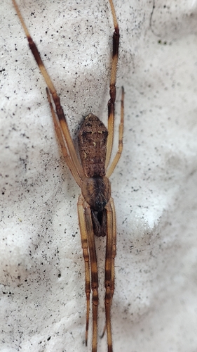
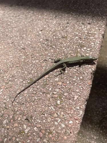
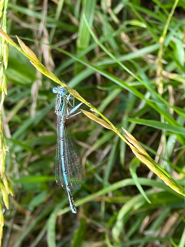
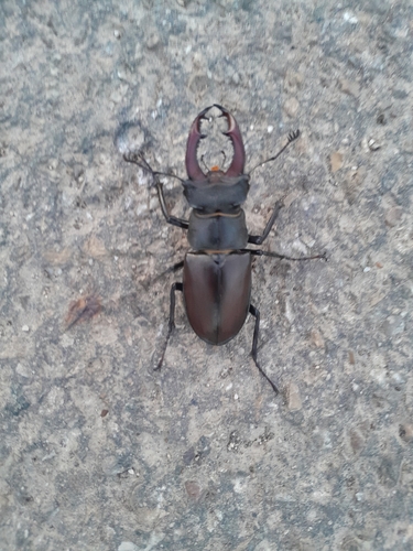
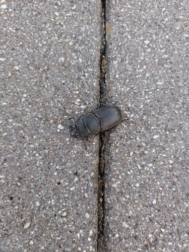
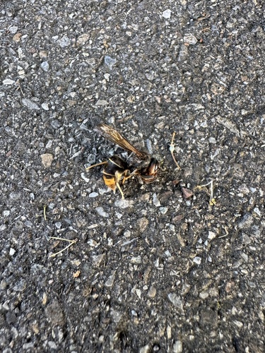
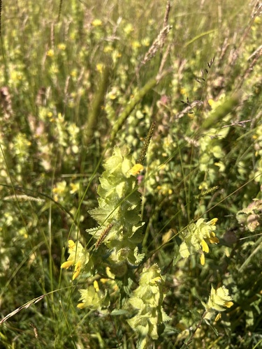
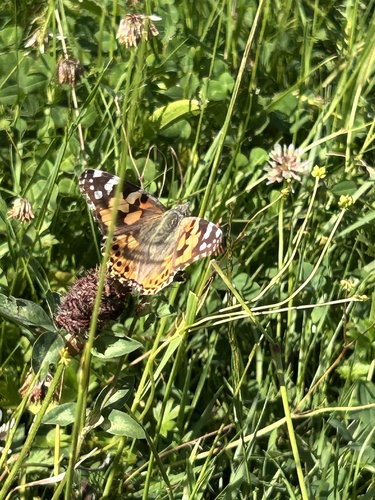
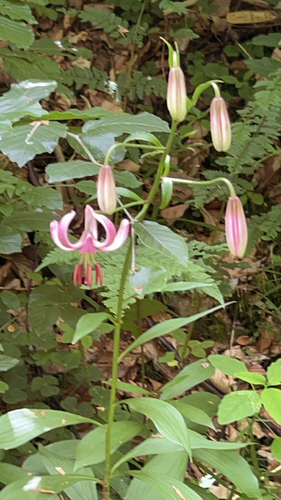
Research-grade observations from iNaturalist (within ~15 mi).
Events
Gallery
Geotagged photos within ~6 miles of Reichenbach an der Fils, from Wikimedia Commons contributors.
 0 mi
0 mi_Epitaph.jpg) 0.3 mi
0.3 mi_Mauer.jpg) 0.3 mi
0.3 mi_Fenster.jpg) 0.3 mi
0.3 mi_Info.jpg) 0.3 mi
0.3 mi_Netz.jpg) 0.3 mi
0.3 mi_Gew%C3%B6lbe.jpg) 0.3 mi
0.3 mi_Turm.jpg) 0.3 mi
0.3 mi.png) 0.3 mi
0.3 mi.png) 0.3 mi
0.3 mi.png) 0.4 mi
0.4 mi.png) 0.4 mi
0.4 mi.png) 0.6 mi
0.6 mi.png) 0.6 mi
0.6 mi.png) 0.7 mi
0.7 mi.png) 0.7 mi
0.7 mi.png) 0.7 mi
0.7 mi.png) 0.7 mi
0.7 mi.png) 0.8 mi
0.8 mi.png) 0.8 mi
0.8 mi 0.9 mi
 0.9 mi
 0.9 mi
.png) 0.9 mi
0.9 miPhotos via Wikimedia Commons — see each image page for license & attribution.
Official Identifiers
Destatis — German Federal Statistical Office
- AGS
- 08116058
- Population (Wikidata)
- 8,688
- Wikidata
- Q83080
Amtlicher Gemeindeschlüssel (AGS) via Wikidata P439
Sources
- • Wikipedia
- • Wikimedia Commons
- • Wikidata
- • Open-Meteo Air Quality (CAMS)
- • USGS Earthquake Catalog (global feed)
- • GBIF (Global Biodiversity Information Facility)
- • iNaturalist
- • Open-Elevation
- • Open-Meteo / sunrise-sunset.org
- • Wikipedia Pageviews API
- • Wikidata SPARQL (CC0) — population, area, elevation, inception, head of government, Commons image
- • Destatis — German Federal Statistical Office — Amtlicher Gemeindeschlüssel (AGS) via Wikidata P439