Browse / Germany / Baden-Württemberg / Reutlingen
Reutlingen
Baden-Württembergcity

Reutlingen
Total population
112,099
Founded
1240
Air quality index
Demographic figures from Destatis. Overview below cites Wikipedia and may reference a different year.
City facts
Facts from Wikidata (CC0).
Overview
Reutlingen is a city in Baden-Württemberg, Germany. It is the capital of the eponymous district of Reutlingen. As of June 2018, it had an estimated population of 116,456. Reutlingen has a university of applied sciences, which was founded in 1855, originally as a weavers' school. Today, Reutlingen is home to an established textile industry and also houses machinery, leather goods and steel manufacturing facilities. It has the narrowest street in the world, Spreuerhofstraße.
Read more on WikipediaHistory & geography
History
The first settlements in the area are believed to date from the 4th or 5th century. Some time around 1030, Count Egino started to build a castle on top of the Achalm, one of the largest mountains in Reutlingen district (about 706 m). One of the towers of this castle was rebuilt in the 19th century and is open to visitors. The name Reutlingen was first mentioned in writing in the so-called Bempflingen Treaty () which is dated approximately 1089–90. Reutlingen's earliest documented mention dates back to 1089 in the Bempflingen Treaty, which was an inheritance agreement between Zwiefalten Monastery and the descendants of the Achalm Count. In 1180, Reutlingen was given market privileges by Frederick Barbarossa. The settlement of Reutlingen was likely concentrated around the present-day Katharinenstraße and Untere Wilhelmstraße due to strategic considerations. Around 1180, Reutlingen received market rights and, between 1220 and 1240 it was promoted to city status and city-walls and fortifications were built. Shortly thereafter, from 1247 to 1343, the city's landmark, the St. Mary's Church () was built. In 1377 Reutlingen was the scene of a victory by the Swabian League, formed in the previous year by 14 Swabian cities, led by Ulm, over the Count of Württemberg. In 1519, a later Swabian League came to Reutlingen's help when Ulrich, Duke of Württemberg attempted to seize the city; the League landed a crushing blow, conquering Württemberg and selling it to Charles V. In 1495 and 1516 the Jews were exiled from the city. As a result of such struggles, Reutlingen became an Imperial City of the Holy Roman Empire, free from allegiance to the Duke of Württemberg. In 1530, Reutlingen's city council signed the Augsburg Confession, and in 1580 and the Formula of Concord, key…
Geography
Reutlingen is located about south of the State capital of Baden-Württemberg, Stuttgart. It lies in the Southwest corner of Germany, right next to the Swabian Jura, and that is why it is often called The gateway to the Swabian Jura (). The Echaz river, a tributary of the Neckar, flows through the city centre. Along with the old university town of Tübingen (about to the west), Reutlingen is the centre of the Neckar-Alb region. It is also part of the larger Stuttgart Metropolitan Region.
Excerpted from the corresponding Wikipedia article (CC BY-SA).
Geography
Coordinates & boundaries from the US Census TIGER/Line shapefiles.
Climate
Air quality
Current readings from Open-Meteo Air Quality API (Copernicus CAMS European reanalysis).
Walkability
Amenities nearby
Wildlife & biodiversity
Most-observed species
- Eurasian BlackbirdTurdus merula Linnaeus, 1758 · Aves2,345
- Carrion CrowCorvus corone Linnaeus, 1758 · Aves2,199
- Great TitParus major Linnaeus, 1758 · Aves2,136
- Eurasian Blue TitCyanistes caeruleus (Linnaeus, 1758) · Aves1,954
- MallardAnas platyrhynchos Linnaeus, 1758 · Aves1,629
- Common ChaffinchFringilla coelebs Linnaeus, 1758 · Aves1,566
- Common BuzzardButeo buteo (Linnaeus, 1758) · Aves1,503
- Eurasian MagpiePica pica (Linnaeus, 1758) · Aves1,428
Citizen-science & research observations from the Global Biodiversity Information Facility (GBIF).
Earthquake history
Most recent
- M 3.4 — 2022-10-16Baden-Wurttemberg, Germany
- M 4 — 2022-07-092 km NNE of Grosselfingen, Germany
- M 3.1 — 2008-12-253 km NNW of Saulgau, Germany
- M 2.5 — 2008-12-122 km ESE of Nehren, Germany
- M 2.8 — 2008-11-251 km S of Steinmauern, Germany
- M 2.7 — 2008-07-091 km WSW of Dußlingen, Germany
Events from the USGS Earthquake Catalog (global) (FDSN Event Web Service).
Photos
Sights & places nearby
Notable people from here


People born within ~10 km, from Wikidata (CC0). Click any name for their Wikipedia article.
Nearby places in Baden-Württemberg
- Jettenburg3.8 mi away · pop. 1,100
- Holzelfingen5.4 mi away
- Honau6 mi away
- Bebenhausen8.4 mi away · pop. 335
- Kilchberg8.9 mi away · pop. 1,261
- Sirchingen9.2 mi away
- Dottingen11.2 mi away
- Rietheim11.6 mi away
- Zizishausen12.1 mi away · pop. 3,306
- Unterlenningen12.5 mi away
- Dapfen12.7 mi away · pop. 457
- Breitenholz12.8 mi away · pop. 700
Geography & sun
Elevation, sunrise/sunset and daylight from Open-Meteo. Solar climatology from NASA POWER.
Nearby airports
Public attention
Pageview totals from the Wikimedia Pageviews API.
Books about Reutlingen
Search results from Open Library.
Recent natural events nearby
Ground air-quality sensors
Recently spotted species
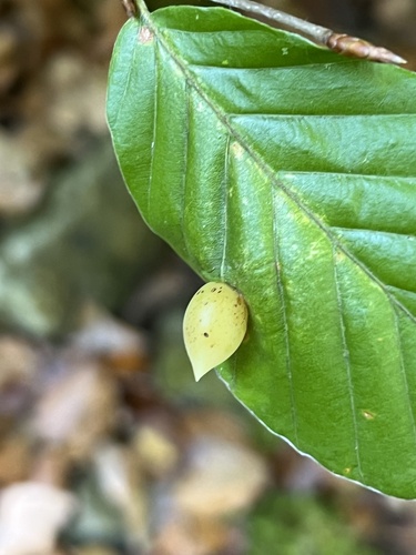
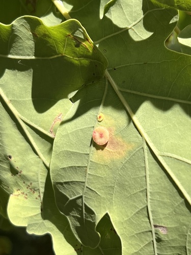
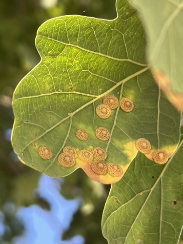
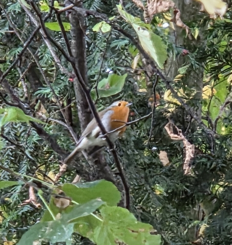
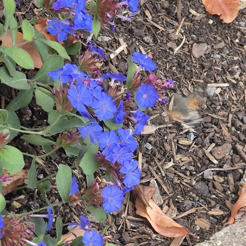
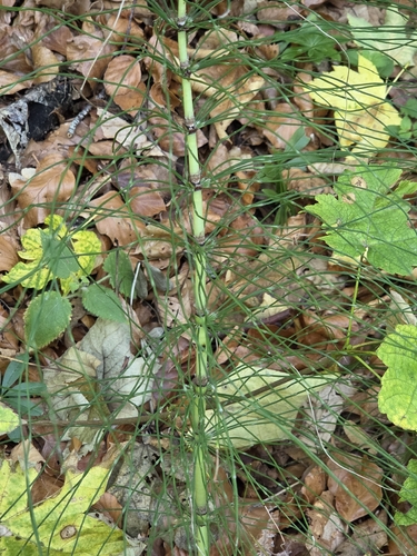
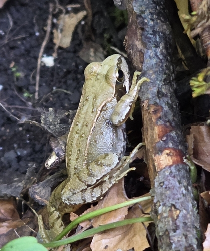
Research-grade observations from iNaturalist (within ~15 mi).
Events
Notable, recurring, and historical events associated with Reutlingen, sourced from Wikidata.
- Q111686403festival
- Q113164838planned event
Source: Wikidata (CC0).
Gallery
Official Identifiers
Destatis — German Federal Statistical Office
- AGS
- 08415061
- Population (Wikidata)
- 118,528
- Wikidata
- Q3085
Amtlicher Gemeindeschlüssel (AGS) via Wikidata P439
Sources
- • Wikipedia
- • Wikidata
- • Open-Meteo Air Quality (CAMS)
- • USGS Earthquake Catalog (global feed)
- • GBIF (Global Biodiversity Information Facility)
- • iNaturalist
- • Open-Meteo / sunrise-sunset.org
- • Wikipedia Pageviews API
- • Open Library
- • Wikidata SPARQL (CC0) — population, area, elevation, inception, head of government, Commons image
- • Destatis — German Federal Statistical Office — Amtlicher Gemeindeschlüssel (AGS) via Wikidata P439