Browse / Germany / Bayern / Rosenheim
Rosenheim
Bayerntown

Rosenheim
Total population
61,844
Demographic figures from Destatis. Overview below cites Wikipedia and may reference a different year.
City facts
Facts from Wikidata (CC0).
Overview
Rosenheim is a city in Bavaria, Germany. It is an independent city located in the centre of the district of Rosenheim in Upper Bavaria, and is also the seat of its administration. It is located on the west bank of the Inn at the confluence of the rivers Inn and Mangfall, in the Bavarian Alpine Foreland. It is the third-largest city in Upper Bavaria with over 64,000 inhabitants. Rosenheim is the economic centre and the busiest place in the region.
Read more on WikipediaHistory & geography
History
Rosenheim's development can be traced from its location on intersecting major trade routes. Even in early times, the town's intersecting traffic stimulated its development as a market town. It subsequently evolved from a market to a salt trade and then railway town to today's wood and college city. Crucial to the establishment of Rosenheim were the Inn and the corresponding Inn valley. The Romans arrived in the year 15 BC under the leadership of Drusus and Tiberius. They founded the province Noricum to the East of the Inn and Rhaetia to the west of the Inn. The colonizers built a road through the Brenner to Castra Regina, and an east–west road from Iuvavum to Augusta Vindelicum. The intersection of these two enormously important trade routes were protected by a military station whose name was "Pons Aeni". Less frequently used terms were "Ponte Aoni", "Ad enum" or "stations Enensis". The Romano Celtic settlement existed for some 500 years with that name. Pons was between Aeni Isinisca (Aying) and (today part of Seeon-Seebruck), as shown on the Roman road map Tabula Peutingeriana from the 4th century. The name "Pons Aeni" can still be recognised in local place names, "Pfunzen" in the name of the district "Langenpfunzen" and "Leonhardspfunzen". The origin of the city's name is not entirely clear. First mentioned in 1234, Rosenheim castle is on the eastern bank of the Inn, on today's castle hill, overlooking a new bridge over the Inn. One theory is that the name comes from the Rosenheim Rose emblem of the Wasserburger Earl Hall, who built the castle. Another theory is that the name Ross derives from the Rössern steeds that were used in medieval times to pull the river transport vessels, and for which there were large stables in Rosenheim. The street names Am Esbaum (the…
Geography
The population of the actual city is approximately 60,000 inhabitants with up to 125,000 in the surrounding area. Rosenheim is situated in the Upper-Bavarian Alpine Foothills, above sea level and covers an area of . The capital of Bavaria, Munich, is North-West of Rosenheim. Rosenheim station is at the junction of the Munich–Rosenheim, the Rosenheim–Salzburg and the Munich–Innsbruck lines. The landscape around Rosenheim was formed during the last ice age from the advancement of the Inn Valley Glacier and later the Rosenheim lake. The lake existed about 10,000 years ago, covering the whole Inn valley as far as Wasserburg am Inn, about north of Rosenheim. Even today in many places around the city the former shoreline can be recognised where the former flat lake bed changes suddenly into relatively steep embankment.
Excerpted from the corresponding Wikipedia article (CC BY-SA).
Geography
Coordinates & boundaries from the US Census TIGER/Line shapefiles.
Climate
Air quality
Walkability
Amenities nearby
Wildlife & biodiversity
Most-observed species
- Eurasian BlackbirdTurdus merula Linnaeus, 1758 · Aves759
- Great TitParus major Linnaeus, 1758 · Aves677
- Common ChaffinchFringilla coelebs Linnaeus, 1758 · Aves596
- Eurasian Blue TitCyanistes caeruleus (Linnaeus, 1758) · Aves593
- MallardAnas platyrhynchos Linnaeus, 1758 · Aves508
- Carrion CrowCorvus corone Linnaeus, 1758 · Aves507
- European RobinErithacus rubecula (Linnaeus, 1758) · Aves502
- Great Spotted WoodpeckerDendrocopos major (Linnaeus, 1758) · Aves493
Citizen-science & research observations from the Global Biodiversity Information Facility (GBIF).
Earthquake history
Most recent
- M 3.7 — 2021-08-161 km S of Niederau, Austria
- M 3.8 — 2019-10-224 km SE of Ebbs, Austria
- M 2.5 — 2017-11-203 km SE of Medraz, Austria
- M 3.5 — 2017-11-032 km N of Telfes im Stubai, Austria
- M 3.7 — 2013-08-091 km ESE of Aldrans, Austria
- M 4 — 2010-10-19Austria
Events from the USGS Earthquake Catalog (global) (FDSN Event Web Service).
Photos
Sights & places nearby
Notable people from here
Nearby places in Bayern
Geography & sun
Elevation, sunrise/sunset and daylight from Open-Meteo. Solar climatology from NASA POWER.
Nearby airports
Public attention
Pageview totals from the Wikimedia Pageviews API.
Books about Rosenheim

Search results from Open Library.
Recent natural events nearby
Ground air-quality sensors
Recently spotted species
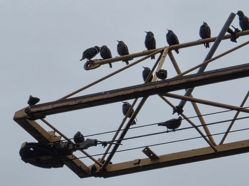


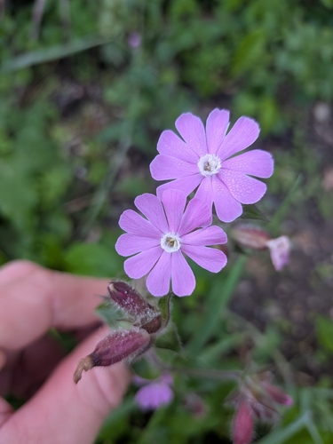
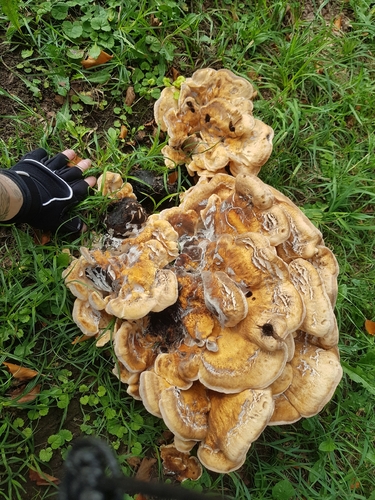
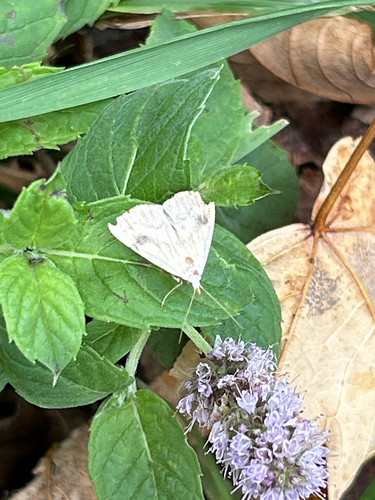
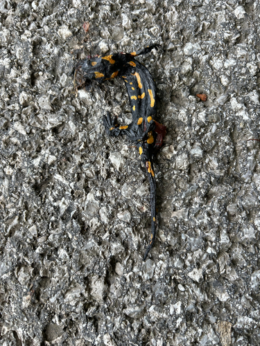
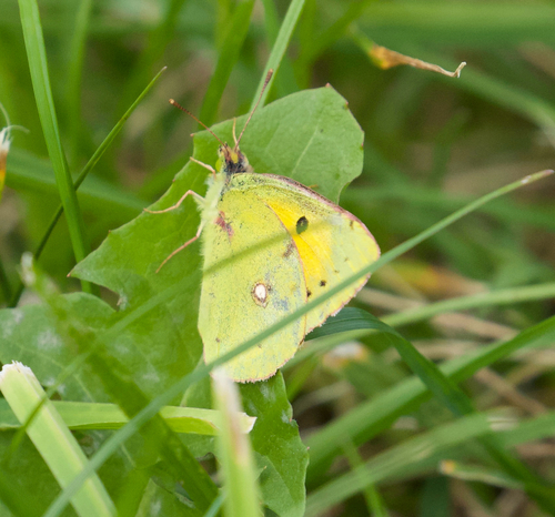
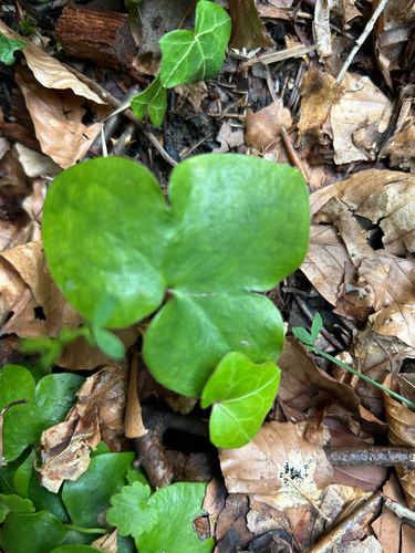
Research-grade observations from iNaturalist (within ~15 mi).
Events
Gallery
Official Identifiers
Destatis — German Federal Statistical Office
- AGS
- 09163000
- Population (Wikidata)
- 65,192
- Wikidata
- Q4007
Amtlicher Gemeindeschlüssel (AGS) via Wikidata P439
Sources
- • Wikipedia
- • Wikidata
- • USGS Earthquake Catalog (global feed)
- • GBIF (Global Biodiversity Information Facility)
- • iNaturalist
- • Open-Meteo / sunrise-sunset.org
- • Wikipedia Pageviews API
- • Open Library
- • Wikidata SPARQL (CC0) — population, area, elevation, inception, head of government, Commons image
- • Destatis — German federal statistics, Amtlicher Gemeindeschlüssel (AGS) via Wikidata P439 (state prefix, municipality key)