Browse / Germany / Bayern / Schnaittach
Schnaittach
Bayerntown

Schnaittach
Total population
7,949
Demographic figures from Destatis. Overview below cites Wikipedia and may reference a different year.
City facts
Facts from Wikidata (CC0).
Overview
Schnaittach is a market town in Middle Franconia, Bavaria, Germany.
Read more on WikipediaHistory & geography
History
Schnaittach was first mentioned in 1011. Until 1806 the Christian population of Schnaittach was Catholic, in contrast to the surrounding areas. Schnaittach has had a large Jewish community since the 15th century. Today, the building complex of the synagogue houses a branch of the Jewish Museum of Franconia (the main museum is in Fürth).
Geography
Schnaittach is on the river Schnaittach, a tributary of the Pegnitz.
Excerpted from the corresponding Wikipedia article (CC BY-SA).
Geography
Coordinates & boundaries from the US Census TIGER/Line shapefiles.
Climate
Air quality
Walkability
Amenities nearby
Wildlife & biodiversity
Earthquake history
Photos
Sights & places nearby
Notable people from here
Geography & sun
Elevation, sunrise/sunset and daylight from Open-Meteo. Solar climatology from NASA POWER.
Nearby airports
Public attention
Pageview totals from the Wikimedia Pageviews API.
Books about this place
Recent natural events nearby
Ground air-quality sensors
Recently spotted species
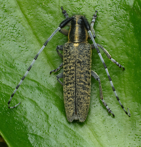
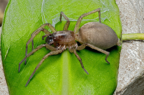
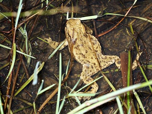
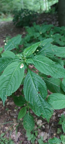
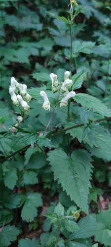
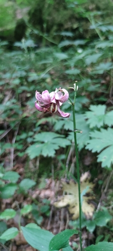
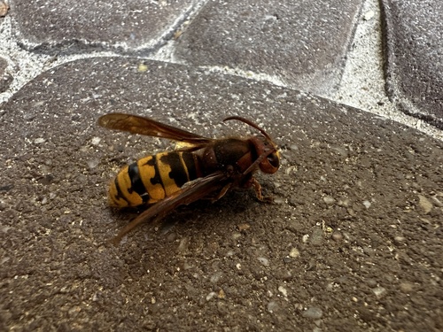
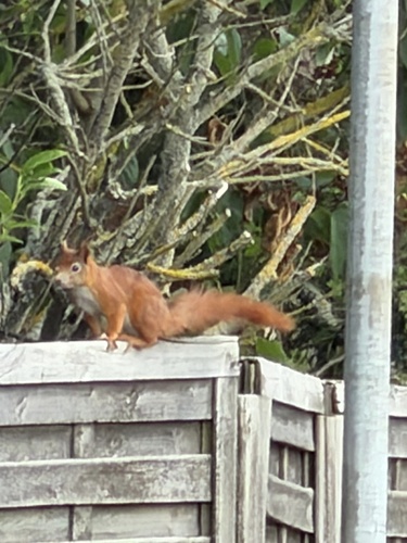
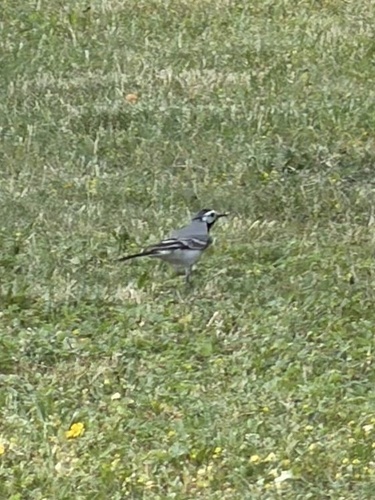
Research-grade observations from iNaturalist (within ~15 mi).
Events
Gallery
Geotagged photos within ~6 miles of Schnaittach, from Wikimedia Commons contributors.
 0.1 mi
 0.1 mi
 0.1 mi
 0.1 mi
 0.1 mi
 0.1 mi
 0.1 mi
 0.1 mi
 0.1 mi
 0.1 mi
 0.1 mi
 0.1 mi
 0.1 mi
 0.1 mi
 0.1 mi
 0.1 mi
 0.1 mi
 0.1 mi
 0.1 mi
 0.1 mi
 0.1 mi
 0.1 mi
 0.1 mi
 0.1 mi
Photos via Wikimedia Commons — see each image page for license & attribution.
Official Identifiers
Destatis — German Federal Statistical Office
- AGS
- 09574155
- Population (Wikidata)
- 8,659
- Wikidata
- Q520932
Amtlicher Gemeindeschlüssel (AGS) via Wikidata P439
Sources
- • Wikipedia
- • Wikimedia Commons
- • Wikidata
- • iNaturalist
- • Open-Meteo / sunrise-sunset.org
- • Wikipedia Pageviews API
- • Wikidata SPARQL (CC0) — population, area, elevation, inception, head of government, Commons image
- • Destatis — German Federal Statistical Office — Amtlicher Gemeindeschlüssel (AGS) via Wikidata P439