Browse / Germany / Bayern / Schrobenhausen
Schrobenhausen
Bayerntown

Schrobenhausen
Total population
16,172
Demographic figures from Destatis. Overview below cites Wikipedia and may reference a different year.
City facts
Sister cities
Facts from Wikidata (CC0).
Overview
Schrobenhausen is a town in the district of Neuburg-Schrobenhausen in Bavaria, Germany. It is situated on the River Paar approx. 25 kilometres south-west of Ingolstadt and 35 kilometres north-east of Augsburg.
Read more on WikipediaHistory & geography
History
Remains of ancient settlements in the area can be traced as far back as the Bronze Age. The name “Scropinhusen” appeared for the first time in church books around the year 790 AD. In the 10th century, the small settlement was devastated during the Hungarian invasions and was not mentioned in any documents for more than 100 years. The town was once again completely destroyed in a war in 1388. Schrobenhausen flourished in the 15th century. Due to its location on the important road between the imperial cities of Augsburg and Regensburg, Schrobenhausen was often affected by military armies. During the Thirty Years' War, the area was in the front line between the Swedish army and General Wallenstein's imperial army for several months in 1632 and 1633. In the second half of the 19th century, paper and metal processing companies emerged in Schrobenhausen. During the Second World War, chemicals for explosives was manufactured in the city. Many of the workers were forced laborers.
Excerpted from the corresponding Wikipedia article (CC BY-SA).
Geography
Coordinates & boundaries from the US Census TIGER/Line shapefiles.
Climate
10-year averages from ERA5 reanalysis (Open-Meteo).
Air quality
Walkability
Amenities nearby
Wildlife & biodiversity
Earthquake history
Photos
Sights & places nearby
Notable people from here
Nearby places in Bayern
Geography & sun
Nearby airports
Public attention
Books about this place
Recent natural events nearby
Ground air-quality sensors
Recently spotted species

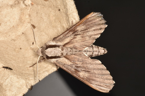
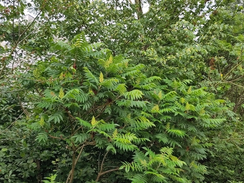



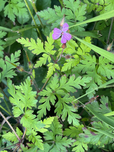

Research-grade observations from iNaturalist (within ~15 mi).
Events
Gallery
Official Identifiers
Destatis — German Federal Statistical Office
- AGS
- 09185158
- Population (Wikidata)
- 18,199
- Wikidata
- Q504746
Amtlicher Gemeindeschlüssel (AGS) via Wikidata P439
Sources
- • Wikipedia
- • Open-Meteo (ERA5 reanalysis)
- • Wikidata
- • iNaturalist
- • Wikidata SPARQL (CC0) — population, area, elevation, inception, head of government, Commons image
- • Destatis — German Federal Statistical Office — Amtlicher Gemeindeschlüssel (AGS) via Wikidata P439