Browse / Germany / Baden-Württemberg / Schwäbisch Gmünd
Schwäbisch Gmünd
Baden-Württembergtown

Schwäbisch Gmünd
Total population
64,416
Founded
1200
Demographic figures from Destatis. Overview below cites Wikipedia and may reference a different year.
City facts
Facts from Wikidata (CC0).
Overview
Schwäbisch Gmünd is a city in the eastern part of the German state of Baden-Württemberg. With a population of around 60,000, the city is the second largest in the Ostalb district and the whole East Württemberg region after Aalen. The city is a Große Kreisstadt since 1956, i.e. a chief city under district administration; it was the administrative capital of its own rural district until the local government reorganisation on 1 January 1973.
Read more on WikipediaHistory & geography
History
From about AD 85, the Neckar-Odenwald line was part of the northern frontier of the Roman Empire. The Romans built the Limes Germanicus to secure this border; i.e., a line of fortifications at regular distances, which included a small castrum on the site of the present-day Schirenhof field in Schwäbisch Gmünd. A first major settlement in this area arose around the 2nd century AD, when Roman soldiers were deployed near the Upper Germanic limes. From 223 onward, the border lines were assaulted and taken by the Alemanni, who settled down in the areas abandoned by the Romans. In the 8th century a counterfeit document in the name of Charlemagne, prepared at the Abbey of St Denis near Paris, mentioned a monastic cell called Gamundias built by Abbot Fulrad of St Denis. Whether or not this refers to Gmünd is uncertain. There are no archaeological indications of a cell of this type in Gmünd. Gmünd was first mentioned in an 1162 deed issued at nearby Lorch Abbey, then under the rule of the Hohenstaufen emperor Frederick Barbarossa. The self-proclaimed Stauferstadt achieved the status of an Imperial City in 1268, which it held until 1802, when it was mediatised to the Electorate of Württemberg. By the end of the 14th century, the name "Etzel castle" was used for the remains of the Roman fort, which had been built to protect the Neckar-Odenwald border of the Roman Empire. In a Baroque chronicle of the city of Schwäbisch Gmünd, written by the councillor Friedrich Vogt (1623–1674), the "Castle" was mentioned in ancient writings as "Etzel castle". Even at the time of Vogt, the Roman remains were cheaper than stones from quarry, and these were thus removed to the ground. Only parts of the moat would still be visible. The demesne officer, wine expert and archaeologist (1776–1849),…
Geography
Schwäbisch Gmünd is situated within the northern foothills of the Swabian Jura Mountains on the Rems river, about east of the state capital Stuttgart. It marks the place where the Josefsbach (Waldstetter-bach) meets the River Rems. The municipal area comprises the localities (Ortschaften) of Bargau, Bettringen, Degenfeld, Großdeinbach, Herlikofen, Hussenhofen, Lindach, Rechberg, Rehnenhof-Wetzgau, Straßdorf, and Weiler.
Excerpted from the corresponding Wikipedia article (CC BY-SA).
Geography
Coordinates & boundaries from the US Census TIGER/Line shapefiles.
Climate
Air quality
Walkability
Amenities nearby
Wildlife & biodiversity
Most-observed species
- Great TitParus major Linnaeus, 1758 · Aves1,280
- Eurasian Blue TitCyanistes caeruleus (Linnaeus, 1758) · Aves1,166
- Eurasian BlackbirdTurdus merula Linnaeus, 1758 · Aves1,124
- Common ChaffinchFringilla coelebs Linnaeus, 1758 · Aves1,047
- Carrion CrowCorvus corone Linnaeus, 1758 · Aves974
- European RobinErithacus rubecula (Linnaeus, 1758) · Aves881
- Common BuzzardButeo buteo (Linnaeus, 1758) · Aves832
- Great Spotted WoodpeckerDendrocopos major (Linnaeus, 1758) · Aves755
Citizen-science & research observations from the Global Biodiversity Information Facility (GBIF).
Earthquake history
Most recent
- M 3.4 — 2022-10-16Baden-Wurttemberg, Germany
- M 4 — 2022-07-092 km NNE of Grosselfingen, Germany
- M 3.1 — 2008-12-253 km NNW of Saulgau, Germany
- M 2.5 — 2008-12-122 km ESE of Nehren, Germany
- M 2.7 — 2008-07-091 km WSW of Dußlingen, Germany
- M 2.5 — 2008-07-032 km W of Dußlingen, Germany
Events from the USGS Earthquake Catalog (global) (FDSN Event Web Service).
Photos
Sights & places nearby
Notable people from here


People born within ~10 km, from Wikidata (CC0). Click any name for their Wikipedia article.
Nearby places in Baden-Württemberg
Geography & sun
Elevation, sunrise/sunset and daylight from Open-Meteo. Solar climatology from NASA POWER.
Nearby airports
Public attention
Pageview totals from the Wikimedia Pageviews API.
Books about Schwäbisch Gmünd
Search results from Open Library.
Recent natural events nearby
Ground air-quality sensors
Recently spotted species
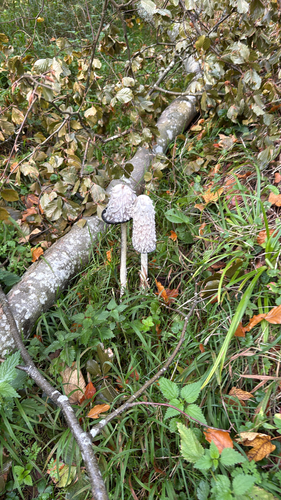
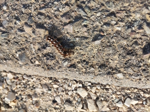
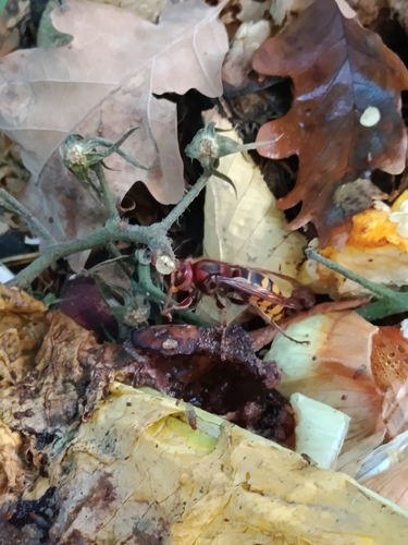
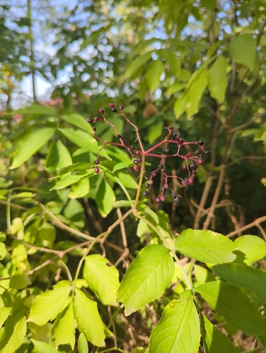
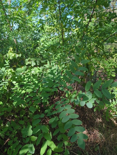
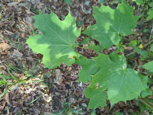
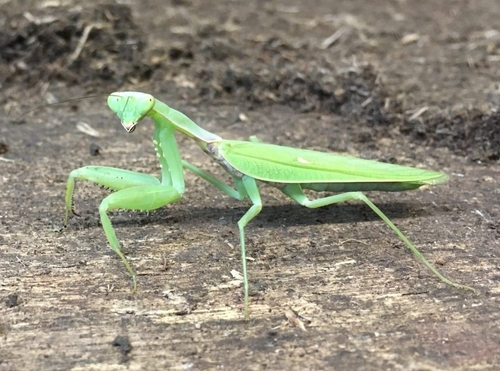
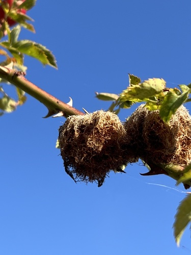
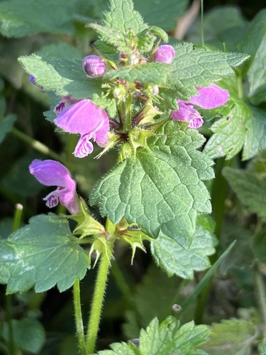
Research-grade observations from iNaturalist (within ~15 mi).
Events
Gallery
Geotagged photos within ~6 miles of Schwäbisch Gmünd, from Wikimedia Commons contributors.


.jpg)
.jpg)
.jpg)
.jpg)
.jpg)
.jpg)
.jpg)
.jpg)
.jpg)
.jpg)
.jpg)
.jpg)
.jpg)
.jpg)
.jpg)
.jpg)
.jpg)
.jpg)
.jpg)
.jpg)
.jpg)
.jpg)
Photos via Wikimedia Commons — see each image page for license & attribution.
Official Identifiers
Destatis — German Federal Statistical Office
- AGS
- 08136065
- Population (Wikidata)
- 62,726
- Wikidata
- Q4037
Amtlicher Gemeindeschlüssel (AGS) via Wikidata P439
Sources
- • Wikipedia
- • Wikimedia Commons
- • Wikidata
- • USGS Earthquake Catalog (global feed)
- • GBIF (Global Biodiversity Information Facility)
- • iNaturalist
- • Open-Meteo / sunrise-sunset.org
- • Wikipedia Pageviews API
- • Open Library
- • Wikidata SPARQL (CC0) — population, area, elevation, inception, head of government, Commons image
- • Destatis — German Federal Statistical Office — Amtlicher Gemeindeschlüssel (AGS) via Wikidata P439