Browse / Germany / Bayern / Schweinfurt
Schweinfurt
Bayerntown

Schweinfurt
Total population
56,625
Founded
1254
Air quality index
Demographic figures from Destatis. Overview below cites Wikipedia and may reference a different year.
City facts
Sister cities
Facts from Wikidata (CC0).
Overview
Schweinfurt is a city in the district of Lower Franconia in Bavaria, Germany. It is the administrative centre of the surrounding district (Landkreis) of Schweinfurt and a major industrial, cultural and educational hub. The urban agglomeration has 100,200 (2018) and the city's catchment area, including the Main-Rhön region and parts of South Thuringia, 759,000 inhabitants.
Read more on WikipediaHistory & geography
History
Traces of settlement as early as 7500 years ago can be detected on today's urban area at various places. The first settlement of the historic Schweinfurt (Village Old Town) was also on the Main, between the two streams Höllenbach and Marienbach, 1 km east of the later founded imperial city, which corresponds to the old town today. The Village Old Town is in its origins at least 2100 years old. The first documentary mention Schweinfurts (village old town) took place in the year 791. He occupied an important position in the central Reich territory, the Duchy of Franconia. Berthold gave the king of East Francia Otto I. (936–973), who in 962 became Roman-German Emperor, valuable weapons aid against rebellious tribal dukes. As thanks Berthold of Otto I received the counties for the Folkfeld- and the Radenzgau and the Margraviate for the Nordgau, about the present-day Upper Palatinate. Thus he was and from 980 his son Henry the most powerful secular nobility in the area of today's northern Bavaria. Later supported Count Henry of Schweinfurt (called: Hezilo) the East Frankish Henry II (1002–1024, from 1014 Roman-German Emperor) in the royal election of 1002 and was awarded the Duke dignity of Bavarians. After the election, however, Henry II did not fulfill the promise. Thereupon it came to the Schweinfurt Feud in 1003. The (inner) city fortification of the new city was built and first documented in 1258, it is still largely preserved on Marienbach today. A document from 1282 signed by Rudolf I of Habsburg states that Schweinfurt was a free city within the Holy Roman Empire. In a confession change had to be expected military assault. The patron of the city, Count Wilhelm von Henneberg, did not offer sufficient support.…
Geography
Schweinfurt has a central location in Germany and is located about 40 km from Baden-Württemberg, Hesse and Thuringia, in the middle of Main Franconia, Germanic-speaking Europe and the European Union. Schweinfurt lies on the river Main, which connects the North Sea with the Black Sea via the Rhine-Main-Danube Canal. While not being part of any metropolitan area, the city is situated between the cities of Frankfurt (110 km west) and Nuremberg (90 km southeast). Schweinfurt also has a natural location in the Franconian wine country, at the Schweinfurter Rhön, with the National Natural Heritage Brönnhof and is surrounded by Haßberge Hills, Steigerwald, Rhön and Spessart, with several natural parks and a biosphere reserve. In sight are Steigerwald, Gramschatzer Forest and Rhön. The city is located in a climatically contrasting region, between the summer hot Mainfränkischen Plates in the south and the low mountain range in the north, with international winter sports in Oberhof. Main catchment.png|Schweinfurt is situated in the middleof the catchment areaof the river Main ... Karte Schweinfurter Becken 2.png|... and on the northeastern edge of the Schweinfurt Basin. 151011-154548 Bene-Pano.jpg|View from the Zabelstein Mountain in the Steigerwaldover the Schweinfurt Basin Ehemalige Spinnmühle in Schweinfurt.jpg|River Main with old mills (right), old townand the old fishing district Fischerrain (left) Schloß Bismarckshöhe Herbst 19.10.2008 006.jpg|The Schweinfurt Main Bendwith village and castle Mainbergand vineyards Schweinfurt itself is also a city of great contrasts, in terms of topography, use and population structure. The bourgeois east lies on the foothills of the Schweinfurter Rhön, is intersected by valleys with streams, with the above the Marienbach…
Excerpted from the corresponding Wikipedia article (CC BY-SA).
Geography
Coordinates & boundaries from the US Census TIGER/Line shapefiles.
Climate
10-year averages from ERA5 reanalysis (Open-Meteo).
Air quality
Current readings from Open-Meteo Air Quality API (Copernicus CAMS European reanalysis).
Walkability
Amenities nearby
Wildlife & biodiversity
Most-observed species
- Great TitParus major Linnaeus, 1758 · Aves4,172
- Eurasian BlackbirdTurdus merula Linnaeus, 1758 · Aves4,159
- MallardAnas platyrhynchos Linnaeus, 1758 · Aves3,719
- Gray/Purple HeronArdea cinerea Linnaeus, 1758 · Aves3,685
- Common Wood-PigeonColumba palumbus Linnaeus, 1758 · Aves3,682
- Eurasian Blue TitCyanistes caeruleus (Linnaeus, 1758) · Aves3,625
- Common BuzzardButeo buteo (Linnaeus, 1758) · Aves3,336
- Graylag GooseAnser anser (Linnaeus, 1758) · Aves3,297
Citizen-science & research observations from the Global Biodiversity Information Facility (GBIF).
Earthquake history
Most recent
- M 2.6 — 2008-05-063 km SSW of Völkershausen, Germany
- M 3.2 — 2005-09-222 km SSW of Völkershausen, Germany
- M 2.6 — 2002-02-222 km NNE of Höchst im Odenwald, Germany
- M 2.5 — 2002-02-023 km S of Adelsheim, Germany
- M 3.4 — 2001-07-023 km E of Bad Bocklet, Germany
Events from the USGS Earthquake Catalog (global) (FDSN Event Web Service).
Photos
Sights & places nearby
Notable people from here


People born within ~10 km, from Wikidata (CC0). Click any name for their Wikipedia article.
Nearby places in Bayern
- Dipbach11.3 mi away
- Arnstein12.7 mi away · pop. 8,343
- Sudrach13.6 mi away
- Handthal15.1 mi away
- Dettelbach17.1 mi away · pop. 6,949
- Bad Neustadt an der Saale19.2 mi away · pop. 16,179
- Paßmühle r. d. Baches19.8 mi away
- Retzbach20.8 mi away
- Karlstadt21.7 mi away · pop. 14,810
- Westheim22.1 mi away · pop. 123
- Iphofen23.6 mi away · pop. 4,419
- Eibelstadt24.5 mi away · pop. 2,873
Geography & sun
Elevation, sunrise/sunset and daylight from Open-Meteo. Solar climatology from NASA POWER.
Nearby airports
Public attention
Pageview totals from the Wikimedia Pageviews API.
Books about Schweinfurt

Search results from Open Library.
Recent natural events nearby
Ground air-quality sensors
Recently spotted species
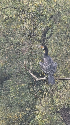
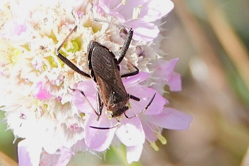
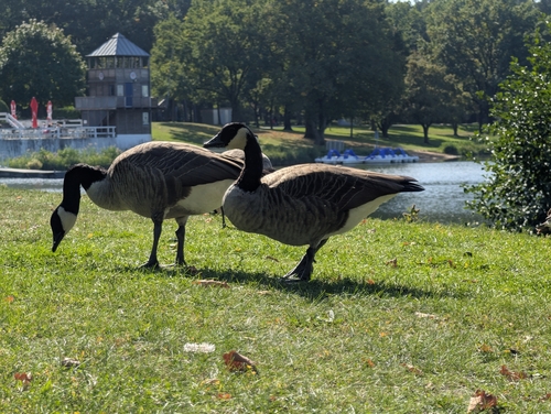

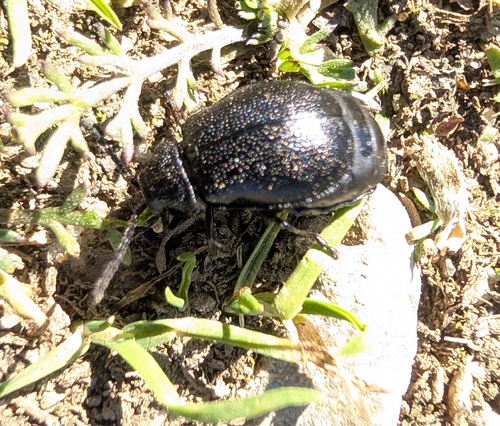
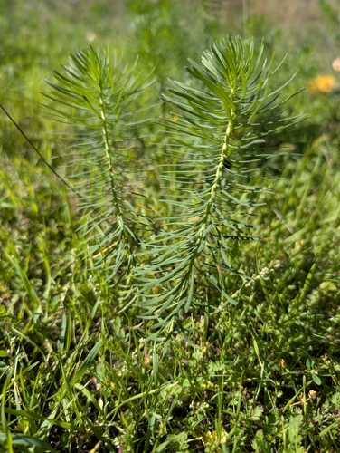
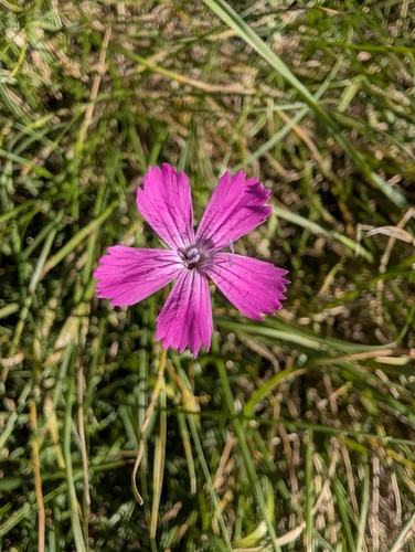
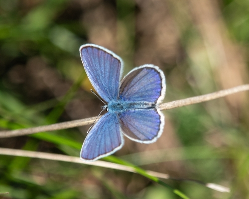
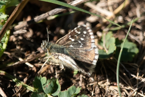
Research-grade observations from iNaturalist (within ~15 mi).
Events
Gallery
Official Identifiers
Destatis — German Federal Statistical Office
- AGS
- 09662000
- Population (Wikidata)
- 55,067
- Wikidata
- Q4126
Amtlicher Gemeindeschlüssel (AGS) via Wikidata P439
Sources
- • Wikipedia
- • Open-Meteo (ERA5 reanalysis)
- • Wikidata
- • Open-Meteo Air Quality (CAMS)
- • USGS Earthquake Catalog (global feed)
- • GBIF (Global Biodiversity Information Facility)
- • iNaturalist
- • Open-Meteo / sunrise-sunset.org
- • Wikipedia Pageviews API
- • Open Library
- • Wikidata SPARQL (CC0) — population, area, elevation, inception, head of government, Commons image
- • Destatis — German Federal Statistical Office — Amtlicher Gemeindeschlüssel (AGS) via Wikidata P439