Browse / Germany / Baden-Württemberg / Sigmaringen
Sigmaringen
Baden-Württembergtown

Sigmaringen
Total population
15,593
Founded
1077
Demographic figures from Destatis. Overview below cites Wikipedia and may reference a different year.
City facts
Facts from Wikidata (CC0).
Overview
Sigmaringen is a town in southern Germany, in the state of Baden-Württemberg. Situated on the upper Danube, it is the capital of the Sigmaringen district.
Read more on WikipediaHistory & geography
History
Sigmaringen was first attested in a document from in 1077 and was part of the principality of Hohenzollern-Sigmaringen from 1576 until 1850, after which it became the Prussian Province of Hohenzollern. In the 11th century, in the end of the Early Middle Ages, the first castle was built on the rock that protected the valley. The first written reference dates from 1077, when King Rudolf of Rheinfelden tried in vain to conquer Sigmaringen Castle. The city was officially founded in 1250. In 1325, it was sold to Ulrich III, Count of Württemberg. In 1460 and 1500, the castle was rebuilt into a chateau. About the county of Werdenberg Sigmaringen came in 1535 to be owned by the high noble family of the Hohenzollern. In 1632, the Swedes occupied the castle during the Thirty Years' War. From 1806 to 1849, Sigmaringen was the capital of the sovereign Principality Hohenzollern-Sigmaringen and residence of the princes of Hohenzollern. As a result of the Sigmaringen Revolution of 1848, the Princes of Hechingen and Sigmaringen abdicated, whereby both principalities fell to Prussia in 1850. From 1850 to 1945, Sigmaringen was the seat of the Prussian Government for the Province of Hohenzollern. Karl Anton von Hohenzollern was 1858-1862 Prime Minister of Prussia. From 1914 to 1918, around 150 men from the town died during World War I. In the Nazi era, a Gestapo office was located in Sigmaringen. From 1937, it belonged to Stuttgart's Gestapo. Between 1934 and 1942, more than 100 men were sterilized because of "hereditary diseases". On 12 December 1940, during the Nazi medical experiments known as the "T4", 71 mentally disabled and mentally ill patients became the victims of Nazi injustice. These men and women were deported to the Grafeneck Euthanasia Centre, where they were killed…
Geography
Surrounded by wooded hills Sigmaringen lies in the Danube valley, south of the Swabian Alps and around 40 km north of Lake Constance. The surrounding towns are Winterlingen (in the district of Zollernalb) and Veringenstadt in the north, Bingen, Sigmaringendorf, and Scheer in the east, Mengen, Krauchenwies, Inzigkofen, and Meßkirch in the south, and Leibertingen, Beuron, and Stetten am kalten Markt in the west. The town is made up of the following districts: Sigmaringen town center, Gutenstein, Jungnau, Laiz, Oberschmeien, and Unterschmeien. Sigmaringen's climate is classified as humid continental (Köppen: Dfb; Trewartha: Dclo).
Excerpted from the corresponding Wikipedia article (CC BY-SA).
Geography
Coordinates & boundaries from the US Census TIGER/Line shapefiles.
Climate
Air quality
Walkability
Amenities nearby
Wildlife & biodiversity
Earthquake history
Photos
Sights & places nearby
Notable people from here


People born within ~10 km, from Wikidata (CC0). Click any name for their Wikipedia article.
Nearby places in Baden-Württemberg
- Jungnau3.7 mi away
- Scheer3.8 mi away · pop. 2,636
- Veringendorf4.9 mi away
- Blochingen6.1 mi away
- Harthausen auf der Scher7.9 mi away
- Meßkirch8 mi away · pop. 8,659
- Hundersingen8.5 mi away
- Herdwangen15.6 mi away · pop. 1,589
- Mühlheim an der Donau15.7 mi away · pop. 3,504
- Stockach18.7 mi away · pop. 16,182
- Indelhausen19.2 mi away
- Untermarchtal21.1 mi away · pop. 941
Geography & sun
Nearby airports
Public attention
Books about this place
Recent natural events nearby
Ground air-quality sensors
Recently spotted species



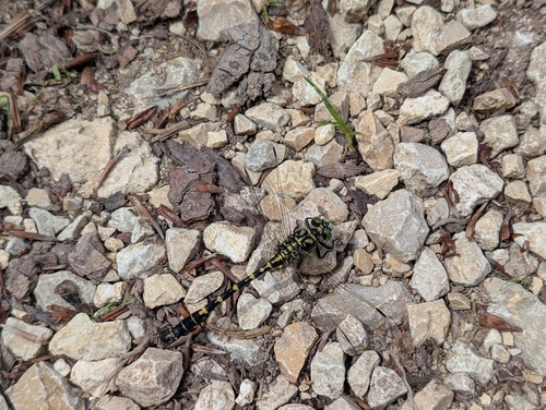
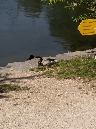



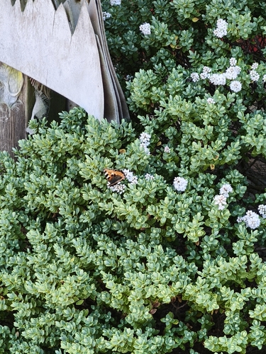
Research-grade observations from iNaturalist (within ~15 mi).
Events
Gallery
Official Identifiers
Destatis — German Federal Statistical Office
- AGS
- 08437104
- Population (Wikidata)
- 18,127
- Wikidata
- Q82858
Amtlicher Gemeindeschlüssel (AGS) via Wikidata P439
Sources
- • Wikipedia
- • Wikidata
- • iNaturalist
- • Wikidata SPARQL (CC0) — population, area, elevation, inception, head of government, Commons image
- • Destatis — German Federal Statistical Office — Amtlicher Gemeindeschlüssel (AGS) via Wikidata P439